Browse / Austria / Upper Austria / Regau
Regau
Upper Austriavillage

Regau
Total population
5,701
Demographic figures from Statistik Austria. Overview below cites Wikipedia and may reference a different year.
City facts
Overview
Regau is a municipality in the Austrian state of Upper Austria near Vöcklabruck, which is the capital of the district.
Read more on WikipediaHistory & geography
History
Regau's was first mentioned in a deed more than 1200 years ago, in 800 CE. At that time, Regau was the seat of the Earls of Rebegau Their castle is thought to have been near the village of Burgstall (translated: castle stable), which still exists. The origin of the name Regau was the Latin Repagauve; later, this became Rebengau in German. Over time, this name was shortened and nowadays the municipality is called Regau. All its names show that Regau once was famous for viniculture. From the twelfth century Regau has been part of the Duchy of Austria, before that it was part of Bavaria. Since 1490 Regau has been part of the princedom Austria above the Enns, today called Upper Austria, of which Regau has been a part since 1918. June, 28th of 1981 Regau was officially given a coat of arms. In 2000 Regau was elevated from village to market. (In Austria there are three different kinds of municipalities: villages, markets and cities.)
Geography
Regau is bordered on the north by the river Ager. Another important body of water is the Baggersee, an artificial lake where many people like to stay in summer for swimming or other sports. Regau's football stadium, used by the Union Regau, is located nearby. The municipality is composed of 36 smaller villages of which Schalchham with more than 1000 inhabitants is the largest. Other important villages are of course Regau, Rutzenmoos (a predominantly Protestant village with a church), Wankham, and the Lixlau. About 53,5% of Regau's area is used for agriculture, another third is covered by forests.
Excerpted from the corresponding Wikipedia article (CC BY-SA).
Geography
Coordinates & boundaries from the US Census TIGER/Line shapefiles.
Climate
Air quality
Walkability
Amenities nearby
Wildlife & biodiversity
Most-observed species
- Slow wormAnguis fragilis Linnaeus, 1758 · Squamata523
- MistletoeViscum album L. · Magnoliopsida423
- Common ToadBufo bufo (Linnaeus, 1758) · Amphibia301
- BeechFagus sylvatica L. · Magnoliopsida299
- BugleAjuga reptans L. · Magnoliopsida294
- PeacockAglais io (Linnaeus, 1758) · Insecta289
- Eurasian BlackbirdTurdus merula Linnaeus, 1758 · Aves272
- Hard Shield-fernPolystichum aculeatum (L.) Roth · Polypodiopsida257
Citizen-science & research observations from the Global Biodiversity Information Facility (GBIF).
Earthquake history
Most recent
- M 3.9 — 2021-01-203 km NNE of Ardning, Austria
- M 3.8 — 2008-08-126 km SE of Maria Schmolln, Austria
- M 2.8 — 2008-08-062 km SE of Schalchen, Austria
- M 4.1 — 2008-07-18Austria
- M 3.2 — 2008-06-224 km ESE of Micheldorf in Oberösterreich, Austria
- M 2.5 — 2008-05-218 km NE of Filzmoos, Austria
Events from the USGS Earthquake Catalog (global) (FDSN Event Web Service).
Photos
Sights & places nearby
Notable people from here
Nearby places in Upper Austria
- Unterlixlau1.2 mi away · pop. 290
- Oberregau1.4 mi away · pop. 98
- Rutzenmoos1.6 mi away · pop. 429
- Lehen3.1 mi away
- Reibersdorf3.3 mi away · pop. 93
- Pichlwang3.5 mi away · pop. 182
- Altensam3.6 mi away · pop. 155
- Untergallaberg3.8 mi away
- Oberachmann4.2 mi away · pop. 370
- Wiesen4.3 mi away · pop. 95
- Rosenau4.5 mi away · pop. 1,000
- Sandhäuslberg5 mi away · pop. 233
Geography & sun
Elevation, sunrise/sunset and daylight from Open-Meteo. Solar climatology from NASA POWER.
Nearby airports
Public attention
Pageview totals from the Wikimedia Pageviews API.
Books about this place
Recent natural events nearby
Ground air-quality sensors
Recently spotted species
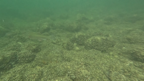
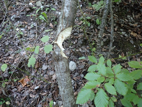
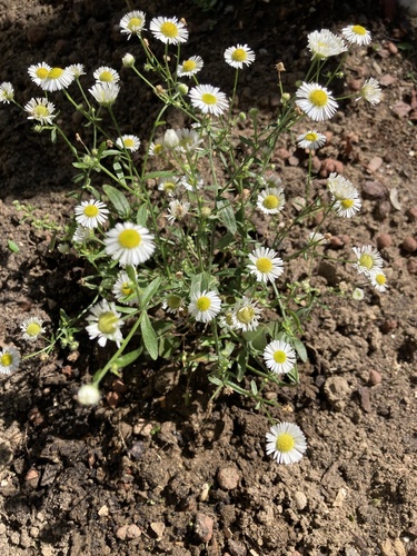
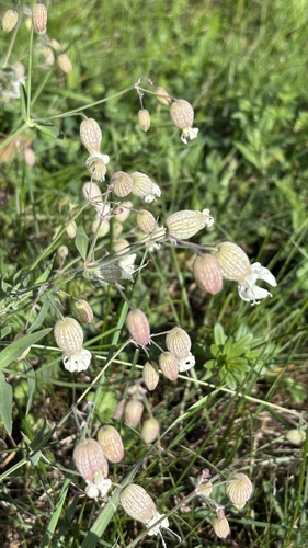
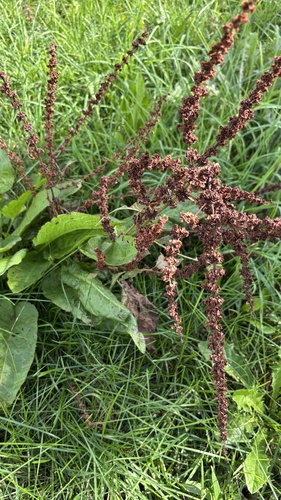
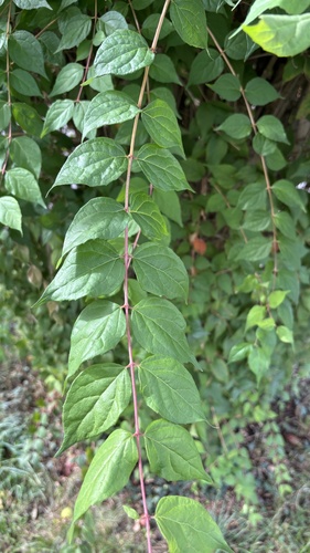
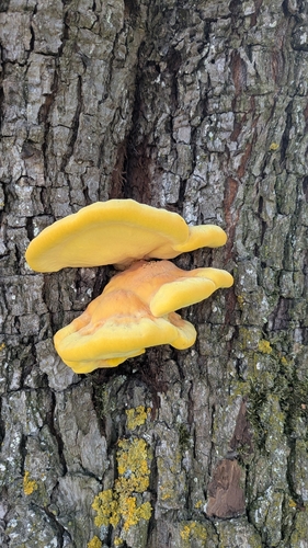
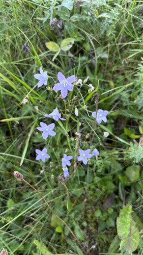
Research-grade observations from iNaturalist (within ~15 mi).
Events
Gallery
Official Identifiers
Statistik Austria
- GKZ
- 41731
- Population (Wikidata)
- 6,780
- Wikidata
- Q280304
Gemeindekennziffer via Wikidata P964
Sources
- • Wikipedia
- • USGS Earthquake Catalog (global feed)
- • GBIF (Global Biodiversity Information Facility)
- • iNaturalist
- • Open-Meteo / sunrise-sunset.org
- • Wikipedia Pageviews API
- • Statistik Austria — Gemeindekennziffer via Wikidata P964