Browse / Austria / Vorarlberg / Riezlern
Riezlern
Vorarlbergvillage

Riezlern
Total population
1,949
Air quality index
Demographic figures from Statistik Austria. Overview below cites Wikipedia and may reference a different year.
City facts
Facts from Wikidata (CC0).
Overview
Riezlern is a village of Mittelberg, Vorarlberg, Austria. It also serves as Mittelberg's administrative centre.
Read more on WikipediaHistory & geography
History
The parish church, Meine Liebe Frau von Jerusalem, was opened in 1471. Due to separation from the rest of the valley by the Breitach, Riezlern was part of Oberstdorf parish and thus under the Diocese of Augsburg until 1816, while the rest of the Kleinwalstertal was part of the Diocese of Konstanz. The church was demolished due to damage in 1889 and rebuilt, with paintings drawn by Martin von Feuerstein between 1903 and 1904. Riezlern became a visiting place for skiing in the 1890s and its first ski club was founded on 28 January 1906. In the winter season it is well known as a centre for alpine skiing. A well known hotel in the village is Hotel Erlebach.
Geography
Besides the main settlement, Riezlern is divided into four other Ortsteile: Wald, Schwende, Unterwestegg and Egg. Riezlern is within the Kleinwalsertal, which, due to its mountainous terrain, is considered a "practical exclave", as the area is only accessible through northeastern roads from Oberstdorf, in Bavaria, Germany. Due to the close proximity to Germany, Riezlern, like the other villages in Kleinwalsertal, also has both an Austrian and German postal code.
Excerpted from the corresponding Wikipedia article (CC BY-SA).
Geography
Coordinates & boundaries from the US Census TIGER/Line shapefiles.
Climate
Air quality
Current readings from Open-Meteo Air Quality API (Copernicus CAMS European reanalysis).
Walkability
Amenities nearby
Wildlife & biodiversity
Most-observed species
- GlobeflowerTrollius europaeus L. · Magnoliopsida883
- Alpine SalamanderSalamandra atra Laurenti, 1768 · Amphibia868
- Grass-of-ParnassusParnassia palustris L. · Magnoliopsida861
- Small TortoiseshellAglais urticae (Linnaeus, 1758) · Insecta853
- Heath Spotted-orchidDactylorhiza maculata (L.) Soó · Liliopsida779
- stemless carline thistleCarlina acaulis L. · Magnoliopsida764
- Silver-washed FritillaryArgynnis paphia (Linnaeus, 1758) · Insecta735
- Willow GentianGentiana asclepiadea L. · Magnoliopsida734
Citizen-science & research observations from the Global Biodiversity Information Facility (GBIF).
Earthquake history
Most recent
- M 3.7 — 2026-04-264 km N of Quarten, Switzerland
- M 3.8 — 2022-09-012 km WSW of Sevelen, Switzerland
- M 2.5 — 2021-10-035 km NNE of Silandro, Italy
- M 4 — 2020-10-255 km ESE of Ennenda, Switzerland
- M 3.6 — 2020-08-085 km SE of Gramais, Austria
- M 3.8 — 2018-02-014 km N of Innerbraz, Austria
Events from the USGS Earthquake Catalog (global) (FDSN Event Web Service).
Photos
Sights & places nearby
Notable people from here


People born within ~10 km, from Wikidata (CC0). Click any name for their Wikipedia article.
Nearby places in Vorarlberg
- Warth7 mi away · pop. 184
- Rehmen9.4 mi away · pop. 540
- Au10.2 mi away · pop. 1,833
- Lech10.6 mi away · pop. 1,605
- Hittisau12.7 mi away · pop. 2,094
- Bezau13.5 mi away · pop. 2,042
- Großdorf13.8 mi away · pop. 1,000
- Lingenau14 mi away · pop. 1,578
- Mellau14.4 mi away · pop. 1,258
- Egg14.5 mi away · pop. 3,684
- Krumbach14.6 mi away · pop. 1,094
- Bersbuch15.6 mi away · pop. 234
Geography & sun
Elevation, sunrise/sunset and daylight from Open-Meteo. Solar climatology from NASA POWER.
Nearby airports
Public attention
Pageview totals from the Wikimedia Pageviews API.
Books about this place
Recent natural events nearby
Ground air-quality sensors
Recently spotted species
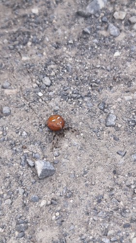
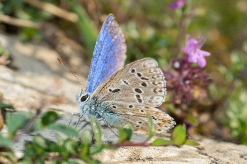
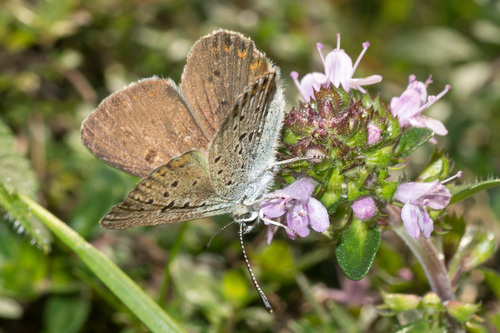
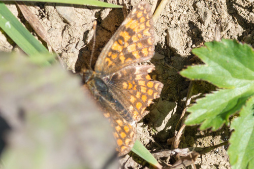
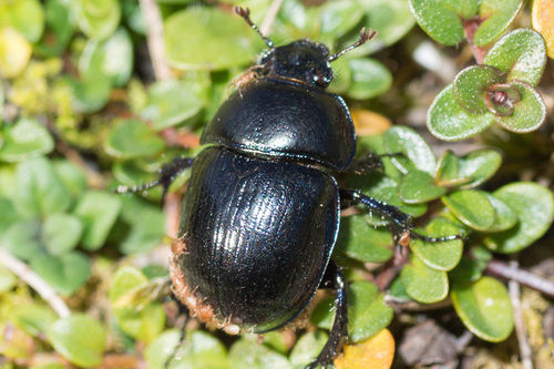
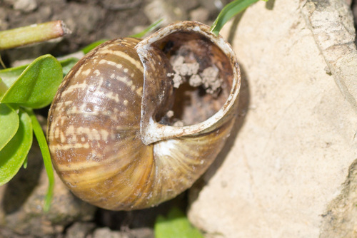
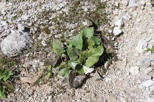
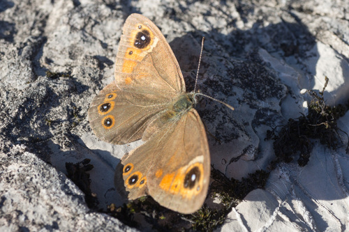
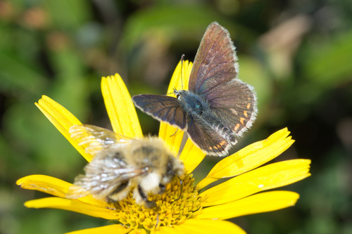
Research-grade observations from iNaturalist (within ~15 mi).
Events
Gallery
Sources
- • Wikipedia
- • Wikidata
- • Open-Meteo Air Quality (CAMS)
- • USGS Earthquake Catalog (global feed)
- • GBIF (Global Biodiversity Information Facility)
- • iNaturalist
- • Open-Meteo / sunrise-sunset.org
- • Wikipedia Pageviews API