Browse / Austria / Tyrol / St. Anton am Arlberg
St. Anton am Arlberg
Tyrolvillage

St. Anton am Arlberg
Total population
2,869
Demographic figures from Statistik Austria. Overview below cites Wikipedia and may reference a different year.
City facts
Sister cities
Facts from Wikidata (CC0).
Overview
Sankt Anton am Arlberg, commonly referred to as St. Anton, is a village and ski resort in the Austrian state of Tyrol. It lies in the Tyrolean Alps, with aerial tramways and chairlifts up to 2,811 m (9,222 ft), yielding a vertical drop of 1,507 m (4,944 ft). It is also a popular summer resort among trekkers and mountaineers.
Read more on WikipediaHistory & geography
Geography
St. Anton lies on the Rosanna River.
Excerpted from the corresponding Wikipedia article (CC BY-SA).
Geography
Coordinates & boundaries from the US Census TIGER/Line shapefiles.
Climate
Air quality
Walkability
Amenities nearby
Wildlife & biodiversity
Earthquake history
Photos
Sights & places nearby
Notable people from here
Nearby places in Tyrol
- St. Christoph2.5 mi away
- Ischgl8.2 mi away · pop. 1,771
- Hägerau8.5 mi away · pop. 225
- Mathon9.7 mi away · pop. 334
- Holzgau9.8 mi away · pop. 481
- Stockach10.5 mi away · pop. 176
- Madau11.3 mi away · pop. 2
- Pians11.6 mi away · pop. 800
- Obergiblen12.1 mi away · pop. 78
- Obergrünau12.3 mi away · pop. 55
- Untergrünau12.8 mi away · pop. 82
- Elbigenalp13.8 mi away · pop. 863
Geography & sun
Nearby airports
Public attention
Books about this place
Recent natural events nearby
Ground air-quality sensors
Recently spotted species
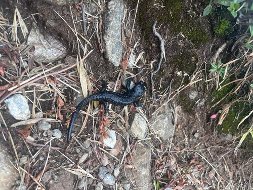
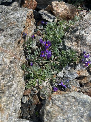
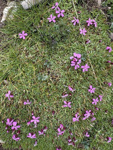
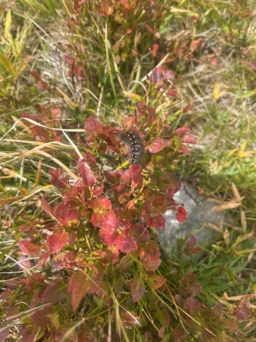
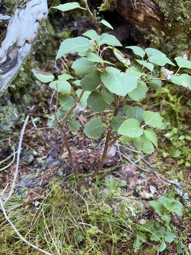

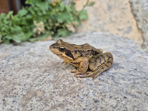
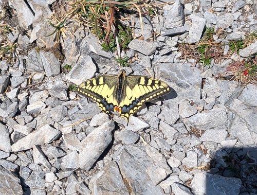
Research-grade observations from iNaturalist (within ~15 mi).
Events
Gallery
Sources
- • Wikipedia
- • Wikidata
- • iNaturalist