Browse / Austria / Upper Austria / Steyr
Steyr
Upper Austriatown

Steyr
Total population
38,344
Demographic figures from Statistik Austria. Overview below cites Wikipedia and may reference a different year.
City facts
Facts from Wikidata (CC0).
Overview
Steyr is a statutory city, located in the Austrian state of Upper Austria. It is the administrative capital, though not part of Steyr-Land District. Steyr is Austria's twelfth-most-populated town and the third-largest city in Upper Austria.
Read more on WikipediaHistory & geography
History
Celts settled the area from about 600 BC, the name of the Stiria River is of Celtic origin. Their kingdom of Noricum became part of the Roman Empire in 15 BC. A settlement named Gesodunum noted by the ancient geographer Claudius Ptolemy (c. 90 – c. 168) was possibly located in the Steyr region. Here the Roman "Iron Road" led from the Erzberg mine along the Enns River to the castra of Lauriacum (at present-day Enns) on the Danube. In the 6th century, Slavic settlers moved into the area, but when they were defeated by Duke Tassilo III of Bavaria, who granted the land to nearby Kremsmünster Abbey in 777, the area was resettled with Bavarians. During the Hungarian invasions of Europe, a fortress was erected above the Steyr River by the local Traungau counts, first mentioned as Styraburg in a 980 deed. From 1055 Steyr Castle in the Bavarian Traungau as well as the adjacent "March of Styria" were ruled by the mighty Otakar dynasty. The Otokars controlled the iron mining at Erzberg and made their residence at Steyr a centre of medieval courtly culture and Middle High German poetry. In 1180, Emperor Frederick Barbarossa elevated Margrave Ottokar IV to a Duke of Styria; however, the line became extinct upon his death in 1192 and, according to the 1186 Georgenberg Pact, his Styrian lands fell to the Babenberg dukes of Austria. Steyr, already named a town (urbs) by then, lost its importance as a ducal residence but retained its status as a centre of ironworking. The Babenberg rulers promoted its economic development as a site of blacksmithing, mainly knife making and armament industry. After the extinction of the Babenbergs in 1246, Steyr together with the Duchy of Austria was occupied by the Přemyslid king Ottokar II of Bohemia and finally taken over by the Habsburg king…
Geography
The city is situated in the Traunviertel region, with the two rivers Steyr and Enns flowing through it and meeting near the town centre beneath Lamberg Castle and St Michael's Church. This prominent location has made it prone to severe flooding through the centuries until the present, one of the worst cases being recently in August 2002. To the south of the town rises a series of hills that climb in altitude and stretch out to the Upper Austrian Prealps. To the north, the hills roll downward towards the confluence of the Enns with the Danube River, where the town of Enns is situated. In the east, the municipal area borders with Lower Austria. Steyr is an ancient town with modern amenities, marketing its rich cultural and architectural heritage in tourism like Vienna and many other well preserved Austrian historic towns. It marked its 1,000th anniversary in 1980, after undergoing extensive restoration of its historic architecture which has made it one of the best preserved old towns in the country. The famous historic town centre built around the Stadtplatz (town square) was largely restored following World War II. Its best-known piece of architecture is called the Bummerlhaus which is considered one of the finest examples of Gothic architecture for its size in Central Europe. The city comprises the cadastral communities of Christkindl, Föhrenschacherl, Gleink, Hinterberg, Jägerberg, Sarning, Stein and Steyr.
Excerpted from the corresponding Wikipedia article (CC BY-SA).
Geography
Coordinates & boundaries from the US Census TIGER/Line shapefiles.
Climate
Air quality
Walkability
Amenities nearby
Wildlife & biodiversity
Earthquake history
Photos
Sights & places nearby
Notable people from here


People born within ~10 km, from Wikidata (CC0). Click any name for their Wikipedia article.
Nearby places in Upper Austria
- St. Ulrich bei Steyr1.2 mi away · pop. 3,098
- Letten3.9 mi away
- Pichlern4.7 mi away
- Sierning5.1 mi away · pop. 8,833
- Kronstorfberg7.1 mi away · pop. 48
- Weichstetten7.3 mi away · pop. 675
- Kronstorf7.4 mi away · pop. 3,115
- Sulzbach8.5 mi away
- Unterhaus8.9 mi away · pop. 440
- Thaling9.6 mi away · pop. 674
- Fernbach10 mi away · pop. 121
- Reichraming10.4 mi away
Geography & sun
Elevation, sunrise/sunset and daylight from Open-Meteo. Solar climatology from NASA POWER.
Nearby airports
Public attention
Pageview totals from the Wikimedia Pageviews API.
Books about Steyr


Search results from Open Library.
Recent natural events nearby
Ground air-quality sensors
Recently spotted species
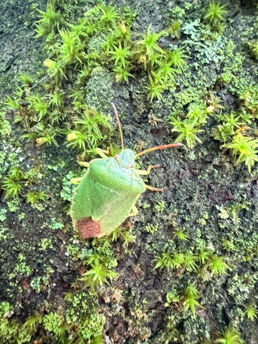
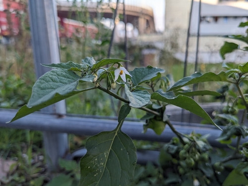
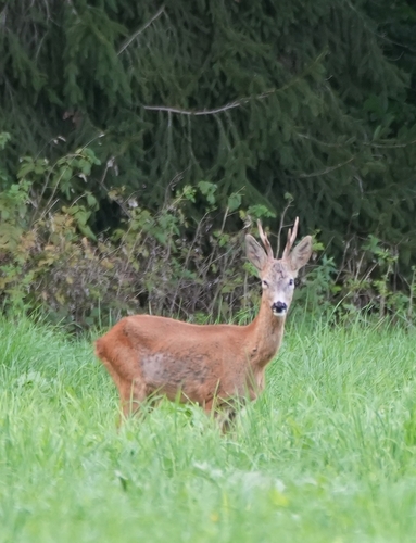
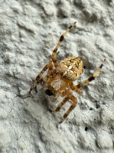
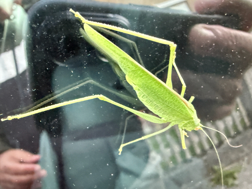
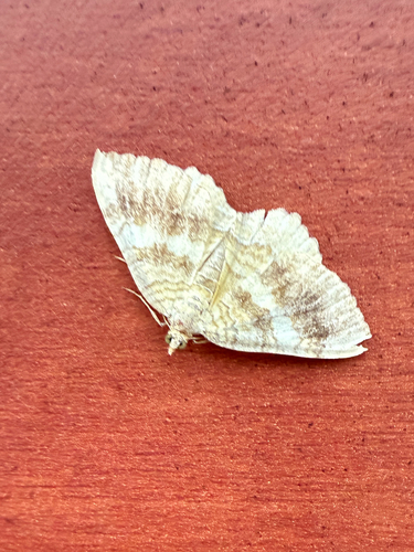
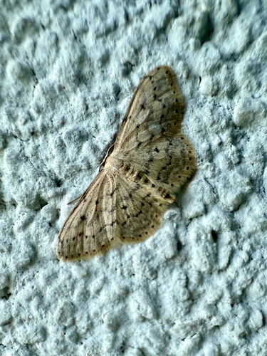
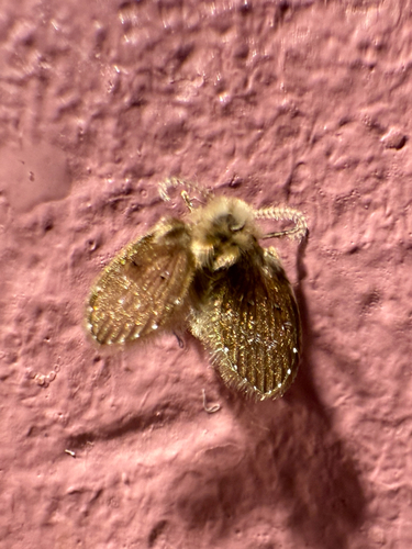
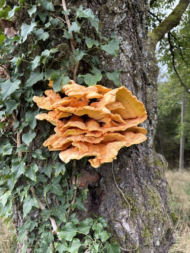
Research-grade observations from iNaturalist (within ~15 mi).
Events
Gallery
Official Identifiers
Statistik Austria
- GKZ
- 40201
- Population (Wikidata)
- 38,034
- Wikidata
- Q260320
Gemeindekennziffer via Wikidata P964
Sources
- • Wikipedia
- • Wikidata
- • iNaturalist
- • Open-Meteo / sunrise-sunset.org
- • Wikipedia Pageviews API
- • Open Library
- • Statistik Austria — Gemeindekennziffer via Wikidata P964