Browse / Austria / Burgenland / Tobaj
Tobaj
Burgenlandvillage
Total population
279
Air quality index
Demographic figures from Statistik Austria. Overview below cites Wikipedia and may reference a different year.
City facts
Overview
Set in Burgenland, Austria, Tobaj is recorded in open geodata as a small village. Coordinates of 47.090°, 16.306° situate Tobaj in the temperate zone of the northern hemisphere. It is home to roughly 279 residents. Open solar datasets indicate about 1,256 kWh/m² of solar irradiance per year, combined with sunshine for roughly 49% of daylight hours. Based on its temperate position, residents likely encounter four distinct seasons with warm summers and cold winters. Climate records indicate average highs near 61.2°F and lows near 43.9°F and about 27 in of annual precipitation (a moderate total). Continue scrolling for population, climate, environmental and points-of-interest data drawn from public sources.
Summary composed automatically from structured open data on this page. See our Terms for details.
History & geography
Geography
Coordinates & boundaries from the US Census TIGER/Line shapefiles.
Climate
10-year averages from ERA5 reanalysis (Open-Meteo).
Air quality
Current readings from Open-Meteo Air Quality API (Copernicus CAMS European reanalysis).
Walkability
Amenities nearby
Wildlife & biodiversity
Most-observed species
- MapAraschnia levana (Linnaeus, 1758) · Insecta505
- Meadow BrownManiola jurtina (Linnaeus, 1758) · Insecta421
- White-legged Damselfly, Blue featherlegPlatycnemis pennipes (Pallas, 1771) · Insecta374
- PeacockAglais io (Linnaeus, 1758) · Insecta335
- Tree Hole MosquitoAedes geniculatus (Olivier, 1791) · Insecta334
- Asian tiger mosquito, Forest day mosquitoAedes albopictus (Skuse, 1894) · Insecta333
- Asian bush mosquitoAedes japonicus (Theobald, 1901) · Insecta323
- Hooded CrowCorvus cornix Linnaeus, 1758 · Aves319
Citizen-science & research observations from the Global Biodiversity Information Facility (GBIF).
Earthquake history
Most recent
- M 4.2 — 2026-07-231 km E of Schottwien, Austria
- M 4 — 2024-02-010 km NNE of Semmering, Austria
- M 4 — 2023-03-301 km WNW of Buchbach, Austria
- M 3.9 — 2021-04-193 km SW of Wiener Neustadt, Austria
- M 4 — 2021-03-303 km NW of Lanzenkirchen, Austria
- M 3.6 — 2013-10-022 km ENE of Unterwaltersdorf, Austria
Events from the USGS Earthquake Catalog (global) (FDSN Event Web Service).
Photos
Sights & places nearby
Notable people from here


People born within ~10 km, from Wikidata (CC0). Click any name for their Wikipedia article.
Nearby places in Burgenland
- Deutsch Tschantschendorf1.4 mi away · pop. 543
- Sulz im Burgenland2 mi away · pop. 342
- Krottendorf bei Güssing2.1 mi away · pop. 219
- Steingraben2.3 mi away · pop. 168
- Güssing2.3 mi away · pop. 2,734
- Punitz2.7 mi away · pop. 289
- Gamischdorf2.7 mi away · pop. 151
- Gerersdorf bei Güssing2.8 mi away · pop. 491
- Sankt Nikolaus3.1 mi away · pop. 192
- Urbersdorf3.8 mi away · pop. 236
- Neustift bei Güssing4.9 mi away · pop. 464
- Güttenbach/Pinkovac4.9 mi away · pop. 1,026
Geography & sun
Elevation, sunrise/sunset and daylight from Open-Meteo. Solar climatology from NASA POWER.
Nearby airports
Public attention
Books about this place
Recent natural events nearby
Ground air-quality sensors
Recently spotted species
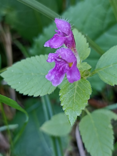
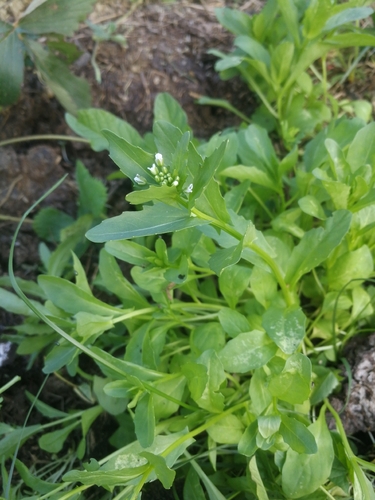
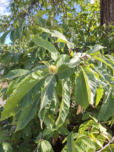
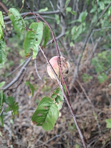
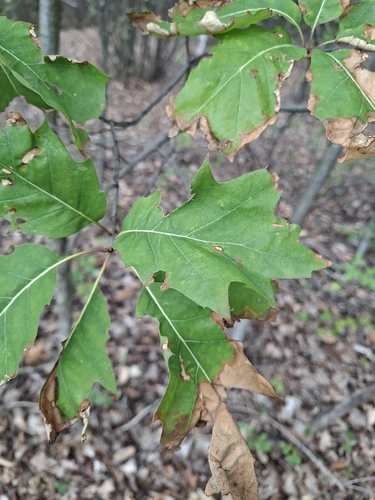
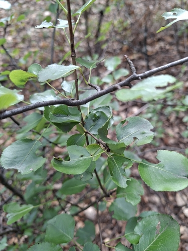
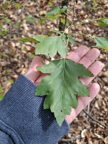
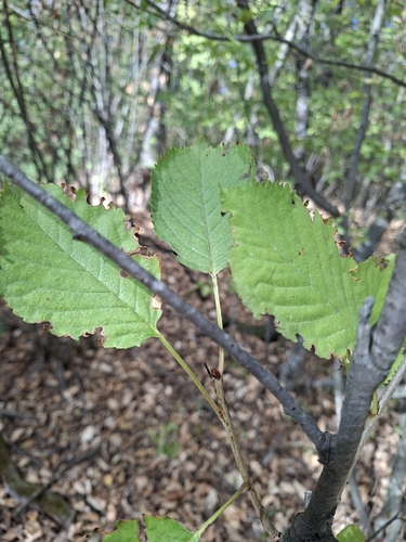
Research-grade observations from iNaturalist (within ~15 mi).
Events
Gallery
Official Identifiers
Statistik Austria
- GKZ
- 10417
- Population (Wikidata)
- 1,372
- Wikidata
- Q542087
Gemeindekennziffer via Wikidata P964
Sources
- • Open-Meteo (ERA5 reanalysis)
- • Wikidata
- • Open-Meteo Air Quality (CAMS)
- • USGS Earthquake Catalog (global feed)
- • GBIF (Global Biodiversity Information Facility)
- • iNaturalist
- • Open-Meteo / sunrise-sunset.org
- • Statistik Austria — Gemeindekennziffer via Wikidata P964