Browse / Austria / Burgenland / Unterpetersdorf
Unterpetersdorf
Burgenlandvillage
Total population
539
Air quality index
Demographic figures from Statistik Austria. Overview below cites Wikipedia and may reference a different year.
City facts
Overview
Unterpetersdorf is a small village located in Burgenland, Austria. It is home to roughly 539 residents. On the world map it falls within the Eastern Hemisphere, specifically at 47.591°, 16.582°. Based on its temperate position, residents likely encounter four distinct seasons with warm summers and cold winters. The location receives about 1,256 kWh/m² of solar irradiance per year and sunshine for roughly 49% of daylight hours. Further detail — demographics, climate, nearby amenities and natural-hazard data — is compiled below from public open-data sources.
Summary composed automatically from structured open data on this page. See our Terms for details.
History & geography
Geography
Coordinates & boundaries from the US Census TIGER/Line shapefiles.
Climate
Air quality
Current readings from Open-Meteo Air Quality API (Copernicus CAMS European reanalysis).
Walkability
Amenities nearby
Wildlife & biodiversity
Most-observed species
- Eurasian KestrelFalco tinnunculus Linnaeus, 1758 · Aves1,057
- Graylag GooseAnser anser (Linnaeus, 1758) · Aves943
- Eurasian Marsh-HarrierCircus aeruginosus (Linnaeus, 1758) · Aves923
- European StarlingSturnus vulgaris Linnaeus, 1758 · Aves765
- Great EgretArdea alba Linnaeus, 1758 · Aves723
- Northern LapwingVanellus vanellus (Linnaeus, 1758) · Aves713
- Red-footed FalconFalco vespertinus Linnaeus, 1766 · Aves707
- Common BuzzardButeo buteo (Linnaeus, 1758) · Aves655
Citizen-science & research observations from the Global Biodiversity Information Facility (GBIF).
Earthquake history
Most recent
- M 4.2 — 2026-07-231 km E of Schottwien, Austria
- M 3.9 — 2026-02-2111 km ESE of Šamorín, Slovakia
- M 4 — 2024-02-010 km NNE of Semmering, Austria
- M 4 — 2023-03-301 km WNW of Buchbach, Austria
- M 3.9 — 2021-04-193 km SW of Wiener Neustadt, Austria
- M 4 — 2021-03-303 km NW of Lanzenkirchen, Austria
Events from the USGS Earthquake Catalog (global) (FDSN Event Web Service).
Photos
Sights & places nearby
Notable people from here


People born within ~10 km, from Wikidata (CC0). Click any name for their Wikipedia article.
Nearby places in Burgenland
- Haschendorf0.6 mi away · pop. 152
- Raiding2.9 mi away · pop. 836
- Kleinwarasdorf/Mali Borištof3.4 mi away · pop. 544
- Lackendorf3.7 mi away · pop. 600
- Großwarasdorf/Veliki Borištof3.8 mi away · pop. 622
- Nebersdorf/Šuševo5.3 mi away · pop. 376
- Nikitsch/Filež5.3 mi away · pop. 1,492
- Kroatisch Minihof/Mjenovo5.4 mi away · pop. 378
- Lackenbach5.5 mi away · pop. 1,096
- Langental/Longitolj6.3 mi away · pop. 105
- Stoob Süd6.8 mi away
- Geristof7 mi away · pop. 444
Geography & sun
Elevation, sunrise/sunset and daylight from Open-Meteo. Solar climatology from NASA POWER.
Nearby airports
Public attention
Books about this place
Recent natural events nearby
Ground air-quality sensors
Recently spotted species
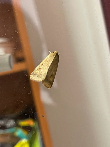
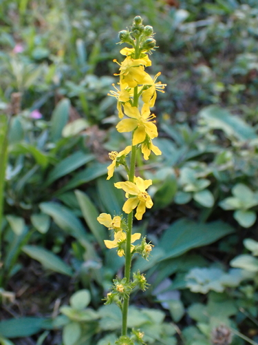
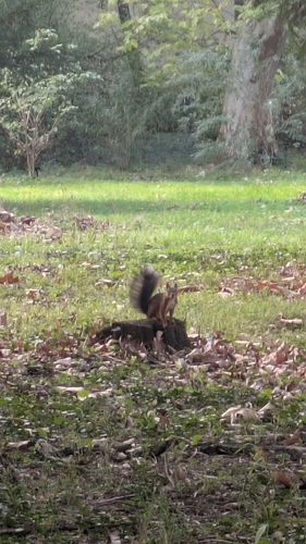
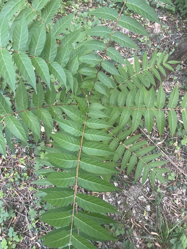
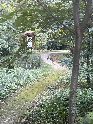


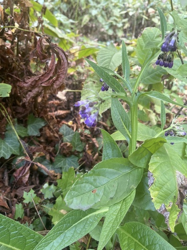
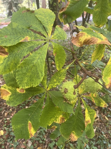
Research-grade observations from iNaturalist (within ~15 mi).
Events
Gallery
Sources
- • Wikidata
- • Open-Meteo Air Quality (CAMS)
- • USGS Earthquake Catalog (global feed)
- • GBIF (Global Biodiversity Information Facility)
- • iNaturalist
- • Open-Meteo / sunrise-sunset.org