Browse / Austria / Upper Austria / Uttendorf
Uttendorf
Upper Austriavillage
Total population
1,292
Demographic figures from Statistik Austria. Overview below cites Wikipedia and may reference a different year.
City facts
Overview
Uttendorf sits in Upper Austria, Austria and is identified as a small village. On the world map it falls within the Eastern Hemisphere, specifically at 48.154°, 13.119°. Population sits at roughly 1,292 according to the open data we track. The location receives about 1,186 kWh/m² of solar irradiance per year and sunshine for roughly 46% of daylight hours. The latitude suggests four distinct seasons with warm summers and cold winters. Read on for charts and tables covering demographics, climate, hazards, schools, wildlife and other open-data indicators for Uttendorf.
Summary composed automatically from structured open data on this page. See our Terms for details.
History & geography
Geography
Coordinates & boundaries from the US Census TIGER/Line shapefiles.
Climate
Air quality
Walkability
Amenities nearby
Wildlife & biodiversity
Most-observed species
- Northern LapwingVanellus vanellus (Linnaeus, 1758) · Aves1,682
- Common BuzzardButeo buteo (Linnaeus, 1758) · Aves1,395
- Eurasian KestrelFalco tinnunculus Linnaeus, 1758 · Aves1,242
- Great EgretArdea alba Linnaeus, 1758 · Aves1,180
- MallardAnas platyrhynchos Linnaeus, 1758 · Aves975
- Graylag GooseAnser anser (Linnaeus, 1758) · Aves832
- Mute SwanCygnus olor (J.F.Gmelin, 1789) · Aves766
- Black-headed GullChroicocephalus ridibundus (Linnaeus, 1766) · Aves738
Citizen-science & research observations from the Global Biodiversity Information Facility (GBIF).
Earthquake history
Most recent
- M 3.8 — 2019-10-224 km SE of Ebbs, Austria
- M 3.8 — 2008-08-126 km SE of Maria Schmolln, Austria
- M 2.8 — 2008-08-062 km SE of Schalchen, Austria
- M 4.1 — 2008-07-18Austria
- M 3.2 — 2008-06-224 km ESE of Micheldorf in Oberösterreich, Austria
- M 2.5 — 2008-05-218 km NE of Filzmoos, Austria
Events from the USGS Earthquake Catalog (global) (FDSN Event Web Service).
Photos
Sights & places nearby
Notable people from here


People born within ~10 km, from Wikidata (CC0). Click any name for their Wikipedia article.
Nearby places in Upper Austria
- Stockleiten3.1 mi away · pop. 207
- Friedrichsdorf3.2 mi away · pop. 419
- Oberlindach3.3 mi away · pop. 156
- Eglsee3.5 mi away · pop. 83
- Brunning3.7 mi away · pop. 60
- Wagenham4.1 mi away · pop. 128
- Österlehen4.2 mi away · pop. 118
- Moosbach4.3 mi away · pop. 115
- Holzgassen4.5 mi away · pop. 277
- Weinberg4.6 mi away
- Unterirnprechting4.7 mi away · pop. 119
- St. Georgen am Fillmannsbach5.1 mi away · pop. 412
Geography & sun
Elevation, sunrise/sunset and daylight from Open-Meteo. Solar climatology from NASA POWER.
Nearby airports
Public attention
Books about this place
Recent natural events nearby
Ground air-quality sensors
Recently spotted species
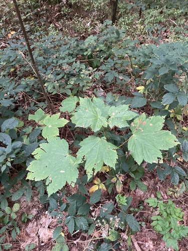
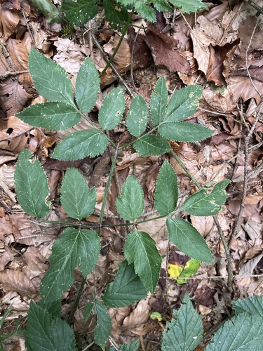
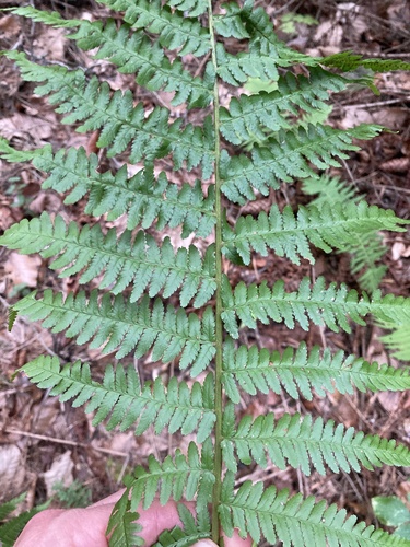
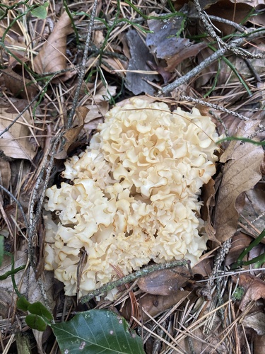
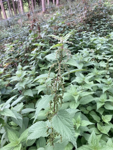
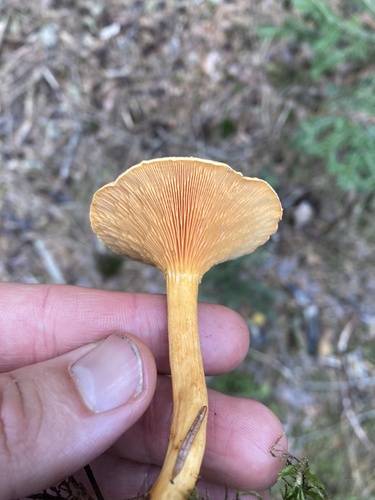
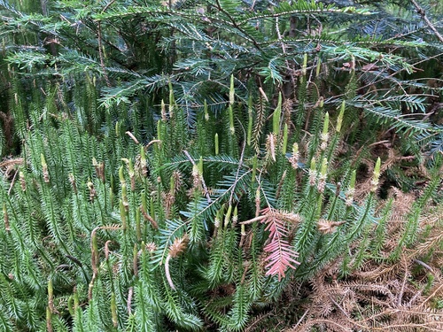
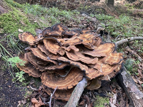
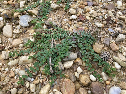
Research-grade observations from iNaturalist (within ~15 mi).
Events
Gallery
Official Identifiers
Statistik Austria
- GKZ
- 50624
- Population (Wikidata)
- 2,913
- Wikidata
- Q252226
Gemeindekennziffer via Wikidata P964
Sources
- • Wikidata
- • USGS Earthquake Catalog (global feed)
- • GBIF (Global Biodiversity Information Facility)
- • iNaturalist
- • Open-Meteo / sunrise-sunset.org
- • Statistik Austria — Gemeindekennziffer via Wikidata P964