Browse / Austria / Burgenland / Zahling
Zahling
Burgenlandvillage
Total population
360
Demographic figures from Statistik Austria. Overview below cites Wikipedia and may reference a different year.
City facts
Overview
Found in Burgenland, Austria, Zahling is classified as a small village in public datasets. On the world map it falls within the Eastern Hemisphere, specifically at 47.025°, 16.213°. Public datasets list a population of roughly 360. The location receives about 1,256 kWh/m² of solar irradiance per year and sunshine for roughly 49% of daylight hours. The latitude suggests four distinct seasons with warm summers and cold winters. Continue scrolling for population, climate, environmental and points-of-interest data drawn from public sources.
Summary composed automatically from structured open data on this page. See our Terms for details.
History & geography
Geography
Coordinates & boundaries from the US Census TIGER/Line shapefiles.
Climate
Air quality
Walkability
Amenities nearby
Wildlife & biodiversity
Earthquake history
Photos
Sights & places nearby
Notable people from here
Nearby places in Burgenland
- Poppendorf im Burgenland2.1 mi away · pop. 412
- Neustift bei Güssing2.4 mi away · pop. 464
- Rosendorf3.2 mi away · pop. 81
- c3.2 mi away · pop. 554
- Gerersdorf bei Güssing3.6 mi away · pop. 491
- Wallendorf3.8 mi away · pop. 370
- Krobotek3.8 mi away · pop. 297
- Steingraben4 mi away · pop. 168
- Neusiedl bei Güssing4.2 mi away · pop. 583
- Sulz im Burgenland4.4 mi away · pop. 342
- Maria Bild4.7 mi away · pop. 205
- Inzenhof5 mi away · pop. 315
Geography & sun
Elevation, sunrise/sunset and daylight from Open-Meteo. Solar climatology from NASA POWER.
Nearby airports
Public attention
Books about Zahling
Search results from Open Library.
Recent natural events nearby
Ground air-quality sensors
Recently spotted species
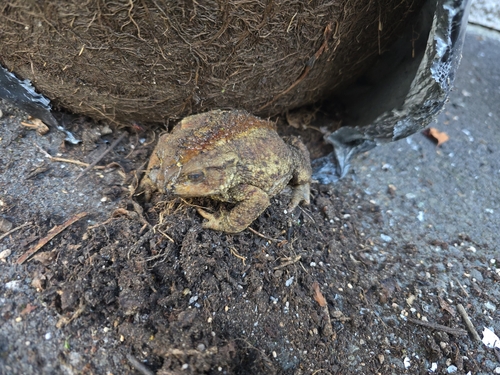
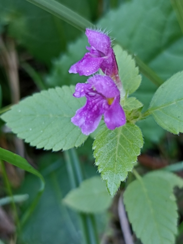
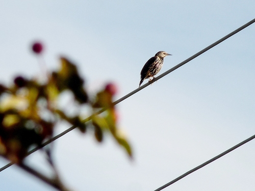
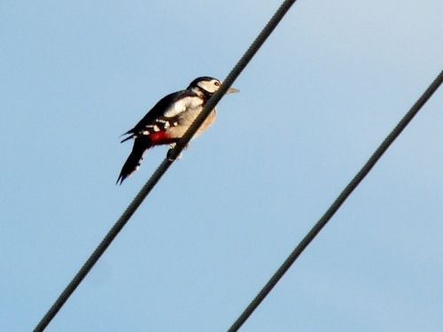
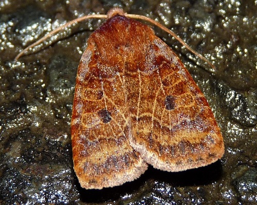
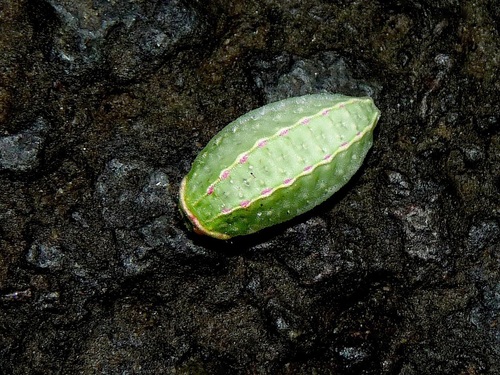
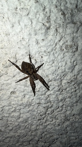
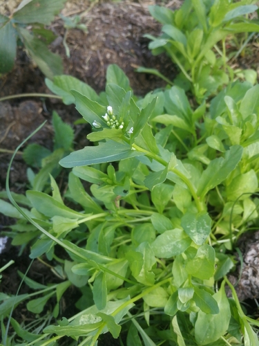
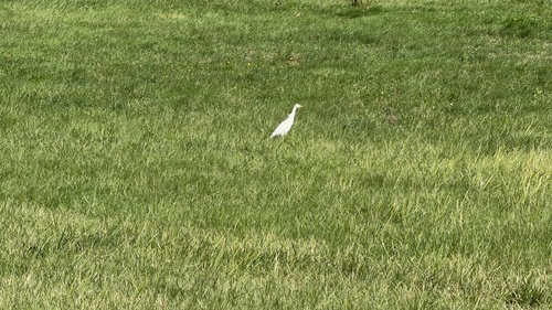
Research-grade observations from iNaturalist (within ~15 mi).
Events
Gallery
Sources
- • iNaturalist
- • Open-Meteo / sunrise-sunset.org
- • Open Library