Browse / Australia / South Australia / Adelaide
Adelaide
South Australiacity

Adelaide
Total population
1,245,011
Founded
1836
Air quality index
Demographic figures from Australian Bureau of Statistics. Overview below cites Wikipedia and may reference a different year.
City facts
Facts from Wikidata (CC0).
Overview
Adelaide is the capital and most populous city of South Australia, as well as the fifth-most populous city in Australia. The name "Adelaide" may refer to either Greater Adelaide or the Adelaide city centre; the demonym Adelaidean is used to denote the city and the residents of Adelaide. The traditional owners of the Adelaide region are the Kaurna, with the name Tarndanya referring to the area of the city centre and surrounding Park Lands, in the Kaurna language. Adelaide is situated on the Adelaide Plains north of the Fleurieu Peninsula, between the Gulf St Vincent in the west and the Mount Lofty Ranges in the east. Its metropolitan area encompasses over 430 suburbs, extending 96 km (60 mi) from Gawler in the north to Sellicks Beach in the south and 20 km (12 mi) from the western coast to the eastern foothills of the Mount Lofty Ranges.
Read more on WikipediaHistory & geography
History
The amount of time Aboriginal people have been living in the area around modern-day Adelaide has been described as "millennia", "tens of thousands of years", "thousands of generations", or "innumerable generations". At Hallett Cove Conservation Park in Adelaide's southern suburbs, archaeological evidence of Aboriginal culture has been found dating back 40,000 years. The area was originally inhabited by the Kaurna people, one of many Aboriginal tribes in South Australia. The city and parklands area also known as Tarndanyangga, Tandanya, Tarndanya or Tarntanya. The name means 'male red kangaroo rock', referring to a rock formation on the site that has now been destroyed. The surrounding area was an open, grassy plain with patches of trees and shrubs, which had been managed by hundreds of generations. Kaurna country encompassed the plains stretching north and south of Tarntanya, as well as the wooded foothills of the Mt Lofty Ranges. The River Torrens was known as the Karrawirra Pari (Red Gum forest river). About 300 Kaurna populated the Adelaide area, and were referred to by the settlers as the Cowandilla. The more than 20 local clans across the plain lived seminomadic lives, with extensive mound settlements where huts were built repeatedly over centuries and a complex social structure, including a class of sorcerers separated from regular society. Within a few decades of European settlement of South Australia, Kaurna culture was almost completely lost, with the last speaker of Kaurna language having died in 1929. Extensive documentation by early missionaries and other researchers has enabled a modern revival of both, which has included a commitment by local and state governments to rename or include Kaurna names for many local places. Based on the ideas of Edward…
Geography
Adelaide is north of the Fleurieu Peninsula, on the Adelaide Plains between the Gulf St Vincent and the relatively low-lying Mount Lofty Ranges (Mount Lofty, the highest point, is 710 metres above sea level). The city stretches from the coast to the foothills, and from Gawler at its northern extent to Sellicks Beach in the south. According to Regional Development Australia, an Australian government planning initiative, the "Adelaide Metropolitan Region" has a total land area of , while a more expansive definition by the Australian Bureau of Statistics defines a "Greater Adelaide" statistical area totalling . Much of Adelaide was bushland before British settlement, with some variation – sandhills, swamps and marshlands were prevalent around the coast. The loss of the sandhills to urban development had a particularly destructive effect on the coastline due to erosion. Where practical, the government has implemented programs to rebuild and vegetate sandhills at several of Adelaide's beachside suburbs. Tennyson Dunes is the largest contiguous, tertiary dune system contained entirely within Metropolitan Adelaide, providing refuge for a variety of remnant species formerly found along the entire coastline. Much of the original vegetation has been cleared with what is left to be found in reserves such as the Cleland National Park and Belair National Park. A number of creeks and rivers flow through the Adelaide region. The largest are the Torrens and Onkaparinga catchments. Adelaide relies on its many reservoirs for water supply with the Happy Valley Reservoir supplying around 40% and the much larger Mount Bold Reservoir 10% of Adelaide's domestic requirements respectively. Adelaide and its surrounding area is one of the most seismically active regions in Australia. On 1…
Excerpted from the corresponding Wikipedia article (CC BY-SA).
Geography
Coordinates & boundaries from the US Census TIGER/Line shapefiles.
Climate
10-year averages from ERA5 reanalysis (Open-Meteo).
Air quality
Current readings from Open-Meteo Air Quality API (Copernicus CAMS European reanalysis).
Walkability
Amenities nearby
Wildlife & biodiversity
Most-observed species
- Australian MagpieGymnorhina tibicen (Latham, 1802) · Aves14,797
- Rainbow LorikeetTrichoglossus haematodus (Linnaeus, 1771) · Aves14,449
- Noisy MinerManorina melanocephala (Latham, 1801) · Aves11,266
- Magpie-larkGrallina cyanoleuca (Latham, 1802) · Aves11,146
- Blue-finned LeatherjacketThamnaconus degeni (Regan, 1903) · Animalia9,662
- New Holland HoneyeaterPhylidonyris novaehollandiae (Latham, 1790) · Aves9,340
- Crested PigeonOcyphaps lophotes (Temminck, 1822) · Aves8,550
- Pacific Black DuckAnas superciliosa J.F.Gmelin, 1789 · Aves8,461
Citizen-science & research observations from the Global Biodiversity Information Facility (GBIF).
Earthquake history
Most recent
- M 3 — 2022-03-293 km ESE of Macclesfield, Australia
- M 4 — 2022-03-053 km SW of Mount Barker, Australia
- M 3.2 — 2018-08-0811 km WNW of Mannum, Australia
- M 3.9 — 2017-02-019 km NW of Murray Bridge, Australia
- M 3.3 — 2011-10-183 km ESE of Hawthorndene, Australia
- M 3.8 — 2010-04-162 km N of Macclesfield, Australia
Events from the USGS Earthquake Catalog (global) (FDSN Event Web Service).
Photos
Sights & places nearby
Notable people from here


People born within ~10 km, from Wikidata (CC0). Click any name for their Wikipedia article.
Nearby places in South Australia
- Ashton7.8 mi away
- Montacute8.2 mi away
- Uraidla8.5 mi away · pop. 931
- Cherryville9.4 mi away
- Basket Range9.4 mi away · pop. 100
- Carey Gully9.9 mi away
- Longwood10.9 mi away · pop. 98
- Bradbury11.5 mi away · pop. 142
- Salisbury11.6 mi away
- Inglewood12.3 mi away
- St Kilda13.5 mi away · pop. 77
- Cudlee Creek13.9 mi away · pop. 126
Geography & sun
Elevation, sunrise/sunset and daylight from Open-Meteo. Solar climatology from NASA POWER.
Nearby airports
Public attention
Pageview totals from the Wikimedia Pageviews API.
Books about Adelaide
Search results from Open Library.
Recent natural events nearby
Ground air-quality sensors
Recently spotted species
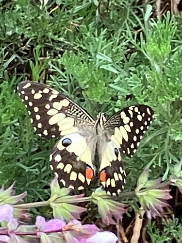
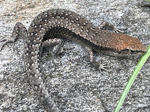
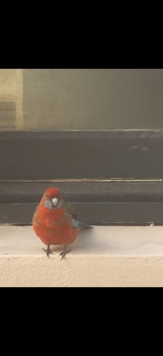
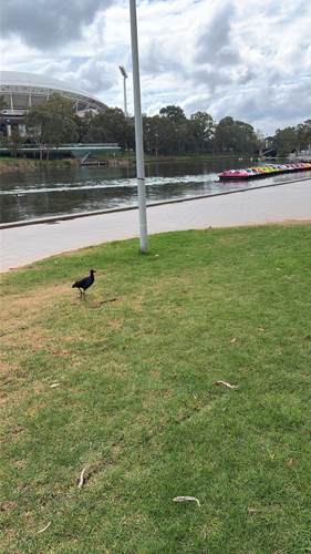
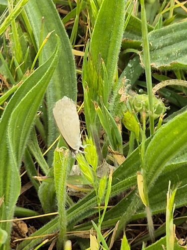
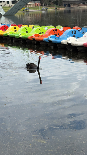
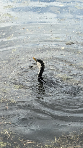
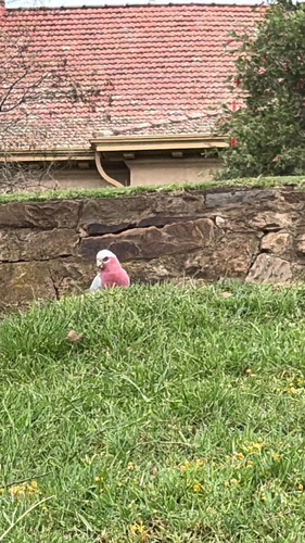
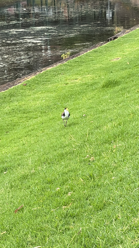
Research-grade observations from iNaturalist (within ~15 mi).
Events
Notable, recurring, and historical events associated with Adelaide, sourced from Wikidata.
Source: Wikidata (CC0).
Gallery
Geotagged photos within ~6 miles of Adelaide, from Wikimedia Commons contributors.


.jpg)
.jpg)
.jpg)
.jpg)
.jpg)
.jpg)
.jpg)


.jpeg)
.jpeg)
.jpg)
.jpg)


.jpg)

Photos via Wikimedia Commons — see each image page for license & attribution.
Sources
- • Wikipedia
- • Open-Meteo (ERA5 reanalysis)
- • Wikimedia Commons
- • Wikidata
- • Open-Meteo Air Quality (CAMS)
- • USGS Earthquake Catalog (global feed)
- • GBIF (Global Biodiversity Information Facility)
- • iNaturalist
- • Open-Elevation
- • Open-Meteo / sunrise-sunset.org
- • Wikipedia Pageviews API
- • Open Library