Browse / Australia / Western Australia / Albany
Albany
Western Australiacity

Albany
Total population
31,128
Founded
1826
Demographic figures from Australian Bureau of Statistics. Overview below cites Wikipedia and may reference a different year.
City facts
Sister cities
Facts from Wikidata (CC0).
Overview
Albany is a port city in the Great Southern region in the Australian state of Western Australia, 418 kilometres (260 mi) southeast of Perth, the state capital. The city centre is at the northern edge of Princess Royal Harbour, which is a part of King George Sound. The central business district is bounded by Mount Clarence to the east and Mount Melville to the west. The city is in the local government area of the City of Albany. While it is the oldest colonial, although not British, settlement in Western Australia – predating Perth and Fremantle by over two years – it was a semi-exclave of the Colony of New South Wales for over four years until it was made part of the Swan River Colony.
Read more on WikipediaHistory & geography
Geography
The city centre of Albany is located between the hills of Mount Melville and Mount Clarence, which look down into Princess Royal Harbour. Many beaches surround Albany, with Middleton Beach being the closest to the town centre. Other popular beaches include Frenchman Bay and Muttonbird Island. Albany is SSE of the state capital, Perth, to which it is linked by Albany Highway. Albany is a sub-region of the Great Southern region of Western Australia. The Albany coastline is notorious for deaths due to king waves washing people off rocks. The Torndirrup National Park features some of the more rugged coastline in the area. However, there are many beaches that are safe and usable. Betty's Beach was named after Betty Jones, who used to go camping there with her family; the beach was initially called Betty's Bay. Frenchman Bay Beach is adjacent to the Torndirrup National Park, and was originally called Quarantine Bay, owing to the quarantine station set up by the British in 1826 on Mistaken Island at the northern end of Goode Beach. Misery Beach, located south of Albany, was so named owing to the location of the whaling station at Albany that operated until 1978, causing offal to be washed ashore at Misery Beach and its sand and waters to be stained red. However, the beach was named Tourism Australia Best Beach 2022 by Tourism Australia, described a "[ticking] all the boxes of what the typical beachgoer is looking for — uncrowded, crystal-white sand, turquoise waters and a very dramatic granite backdrop". Other beaches include: * Emu Point * Gull Rock Beach, also known as Boiler Beach * Middleton Beach * Nanarup Beach * Muttonbird Beach * Cosy Corner * Two Peoples Bay, including Little Beach and Waterfall Beach Albany has a warm-summer Mediterranean climate (Köppen…
Excerpted from the corresponding Wikipedia article (CC BY-SA).
Geography
Coordinates & boundaries from the US Census TIGER/Line shapefiles.
Climate
Air quality
Walkability
Amenities nearby
Wildlife & biodiversity
Earthquake history
Photos
Sights & places nearby
Notable people from here


People born within ~10 km, from Wikidata (CC0). Click any name for their Wikipedia article.
Geography & sun
Elevation, sunrise/sunset and daylight from Open-Meteo. Solar climatology from NASA POWER.
Nearby airports
Public attention
Pageview totals from the Wikimedia Pageviews API.
Books about Albany

Search results from Open Library.
Recent natural events nearby
Ground air-quality sensors
Recently spotted species
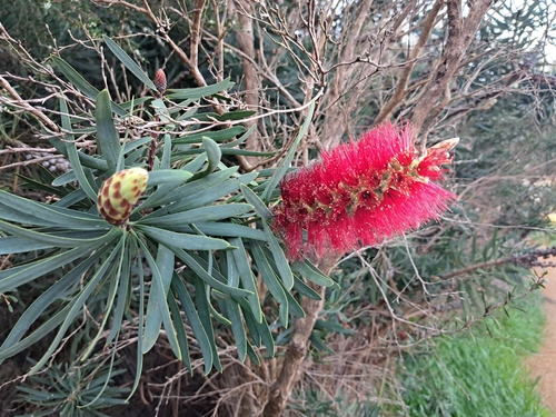
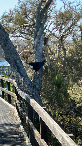
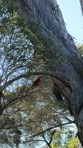
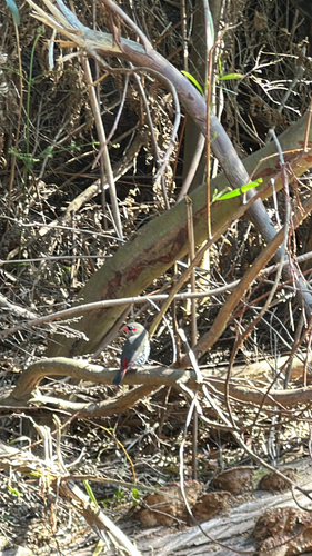
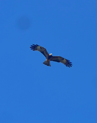
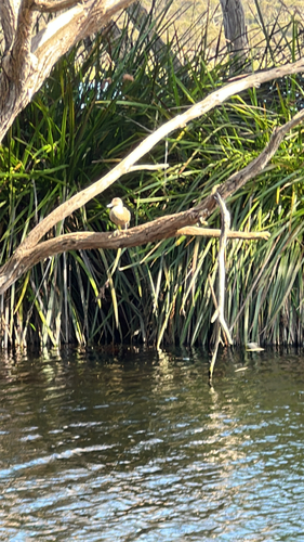
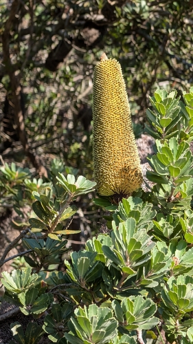
Research-grade observations from iNaturalist (within ~15 mi).
Events
Gallery
Sources
- • Wikipedia
- • Wikidata
- • iNaturalist
- • Open-Meteo / sunrise-sunset.org
- • Wikipedia Pageviews API
- • Open Library