Browse / Australia / South Australia / Andamooka
Andamooka
South Australiavillage

Andamooka
Total population
260
Air quality index
Demographic figures from Australian Bureau of Statistics. Overview below cites Wikipedia and may reference a different year.
City facts
Overview
Andamooka is a remote opal-mining town approximately 600 kilometers (370 mi) north of Adelaide in the Far North of South Australia on the traditional lands of the Kokatha people. Opal was discovered in 1930, leading to the development of the Andamooka Opal Field, one of Australia's historic opal-producing regions.
Read more on WikipediaHistory & geography
History
Andamooka lies on the Kokatha traditional land. The name is derived from a salt lake, named from the Aboriginal "Andemorka", by which the locality was known to Europeans as early as 1866, well before opal was discovered. The meaning is uncertain. At that time (1866), it was also known as 'Swinden's Country', after Charles Swinden of Riverton, who, in 1857, led a small horseback party that discovered it. They described it as a tract of 'generally sterile country, but having some patches of good pastoral land'. It was those meagre prospects which attracted pastoralists, resulting in the foundation of Andamooka Station, which for the next half century was the only industry. Since the granting of Native Title and pastoral leases in 2014, the Indigenous-owned Kokotha Pastoral Company now operates Andamooka Station, together with the adjacent Purple Downs and Roxby Downs Stations. Several historic buildings in the town are heritage-listed: the Andamooka Historic Precinct (containing Frank Albertoni's House, Bob Cutzow's Dugout, Tom Brady's Dugout, Mrs Perry's Kitchen, and Andy Absalom's House) and Dick Clark's Residence are both listed on the South Australian Heritage Register.
Excerpted from the corresponding Wikipedia article (CC BY-SA).
Geography
Coordinates & boundaries from the US Census TIGER/Line shapefiles.
Climate
10-year averages from ERA5 reanalysis (Open-Meteo).
Air quality
Current readings from Open-Meteo Air Quality API (Copernicus CAMS European reanalysis).
Walkability
Amenities nearby
Wildlife & biodiversity
Most-observed species
- Zebra FinchTaeniopygia guttata (Vieillot, 1817) · Aves48
- Buffel-grassCenchrus ciliaris L. · Liliopsida27
- EmuDromaius novaehollandiae (Latham, 1790) · Aves23
- Black-faced WoodswallowArtamus cinereus Vieillot, 1817 · Aves23
- Welcome SwallowHirundo neoxena Gould, 1842 · Aves23
- Australian RavenCorvus coronoides Vigors & Horsfield, 1827 · Aves22
- Australian PipitAnthus australis Vieillot, 1818 · Aves22
- Central Bearded DragonPogona vitticeps (Ahl, 1926) · Squamata20
Citizen-science & research observations from the Global Biodiversity Information Facility (GBIF).
Earthquake history
Most recent
- M 4.1 — 2016-11-03105 km N of Roxby Downs, Australia
- M 4 — 2014-06-09101 km NE of Roxby Downs, Australia
- M 4.2 — 2014-06-04110 km NE of Roxby Downs, Australia
Events from the USGS Earthquake Catalog (global) (FDSN Event Web Service).
Photos
Sights & places nearby
Notable people from here
Nearby places in South Australia
- Oak Dam Village37.9 mi away
- Woomera55.5 mi away · pop. 132
- Witchelina Homestead60.3 mi away
- Alberrie Creek61.3 mi away
- Mount Nor West Homestead64 mi away
- Lyndhurst71.5 mi away · pop. 3
- Leigh Creek74.4 mi away · pop. 91
- Beltana Historic Town78.3 mi away · pop. 37
- Blinman North100.3 mi away
- Blinman101.4 mi away
- Iga-Warta Aboriginal Community105.9 mi away · pop. 7
- Wilpena Pound113.2 mi away
Geography & sun
Elevation, sunrise/sunset and daylight from Open-Meteo. Solar climatology from NASA POWER.
Nearby airports
Public attention
Pageview totals from the Wikimedia Pageviews API.
Books about Andamooka
Search results from Open Library.
Recent natural events nearby
Ground air-quality sensors
Recently spotted species
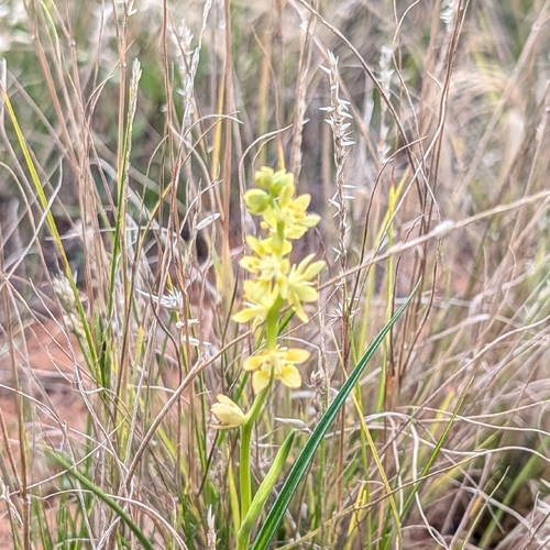
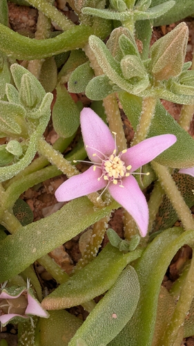
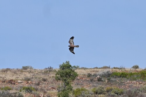
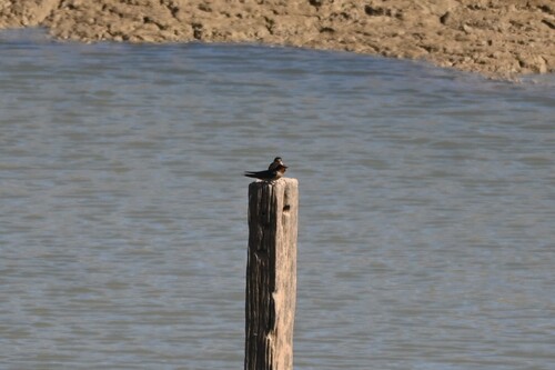
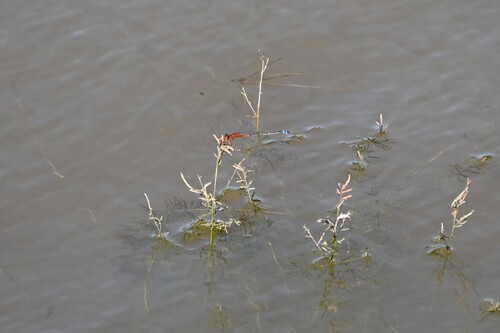
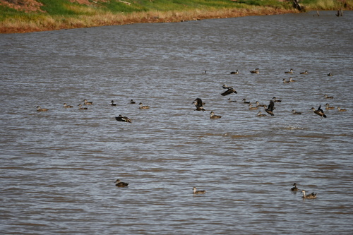
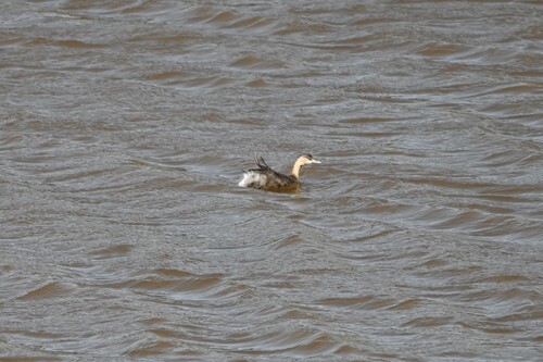
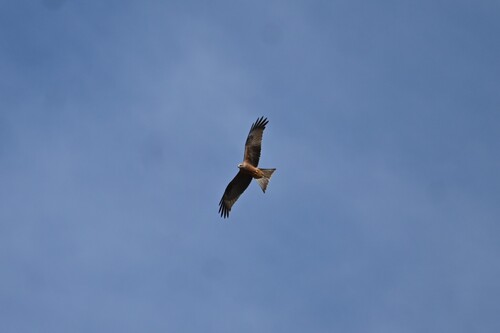
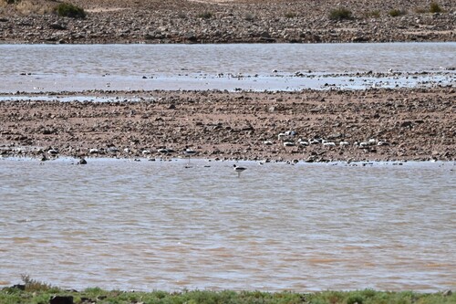
Research-grade observations from iNaturalist (within ~15 mi).
Events
Gallery
Geotagged photos within ~6 miles of Andamooka, from Wikimedia Commons contributors.


Photos via Wikimedia Commons — see each image page for license & attribution.
Official Identifiers
ABS — Australian Bureau of Statistics
- ASGS 2021
- SAL40023
- Population (Wikidata)
- 262
- Wikidata
- Q489981
ASGS 2021 ID via Wikidata P10112
Sources
- • Wikipedia
- • Open-Meteo (ERA5 reanalysis)
- • Wikimedia Commons
- • Wikidata
- • Open-Meteo Air Quality (CAMS)
- • USGS Earthquake Catalog (global feed)
- • GBIF (Global Biodiversity Information Facility)
- • iNaturalist
- • Open-Meteo / sunrise-sunset.org
- • Wikipedia Pageviews API
- • Open Library
- • ABS — Australian Bureau of Statistics — ASGS 2021 ID via Wikidata P10112