Browse / Australia / South Australia / Appila
Appila
South Australiavillage

Appila
Total population
27
Demographic figures from Australian Bureau of Statistics. Overview below cites Wikipedia and may reference a different year.
City facts
Overview
Appila is a locality in the Mid North of South Australia east of the lower Flinders Ranges. It occupies much of the eastern half of the Hundred of Appila and a strip on the western side of the adjacent Hundred of Tarcowie.
Read more on WikipediaHistory & geography
History
The town of Yarrowie (an Aboriginal word for hunting ground) was established in 1872 following the proclamation of the Strangways Land Act for closer settlement in 1869. The town grew quickly as settlers moved to the area, and by the 1880s it had two hotels, four blacksmiths, three carpenters, Protestant, Catholic and government schools, a post office and telegraph station as well as other stores. In 1877 the name was changed to Appila-Yarrowie then later to just Appila to remove confusion with other towns including Yarcowie, Tarcowie, Terowie, Caltowie and Willowie. When the Lutheran school was closed by the state government in 1918, it had 33 students.
Excerpted from the corresponding Wikipedia article (CC BY-SA).
Geography
Coordinates & boundaries from the US Census TIGER/Line shapefiles.
Climate
Air quality
Walkability
Amenities nearby
Wildlife & biodiversity
Most-observed species
- Pygmy Bluetongue LizardTiliqua adelaidensis (Peters, 1863) · Squamata199
- Australian MagpieGymnorhina tibicen (Latham, 1802) · Aves148
- Little RavenCorvus mellori Mathews, 1912 · Aves114
- GalahEolophus roseicapilla (Vieillot, 1817) · Aves73
- House SparrowPasser domesticus (Linnaeus, 1758) · Aves62
- Maned DuckChenonetta jubata (Latham, 1801) · Aves59
- ApostlebirdStruthidea cinerea Gould, 1837 · Aves55
- Willie-wagtailRhipidura leucophrys (Latham, 1802) · Aves50
Citizen-science & research observations from the Global Biodiversity Information Facility (GBIF).
Earthquake history
Most recent
- M 4.3 — 2024-04-178 km ENE of Jamestown, Australia
- M 4.9 — 2023-03-2260 km ENE of Peterborough, Australia
- M 4.4 — 2020-05-1415 km WSW of Burra, Australia
- M 3.3 — 2018-07-099 km NNW of Jamestown, Australia
- M 4 — 2017-04-2429 km ENE of Quorn, Australia
- M 4.6 — 2011-10-1573 km E of Quorn, Australia
Events from the USGS Earthquake Catalog (global) (FDSN Event Web Service).
Photos
Sights & places nearby
Notable people from here
Nearby places in South Australia
- Stone Hut8.5 mi away
- Wirrabara9.3 mi away · pop. 206
- Laura11.9 mi away · pop. 522
- Booleroo Centre12.6 mi away · pop. 266
- Wongyarra12.7 mi away
- Jamestown14.8 mi away · pop. 1,389
- Gladstone15.7 mi away · pop. 623
- Yongala18.6 mi away · pop. 40
- Napperby19.5 mi away · pop. 291
- Belalie East20.1 mi away
- Melrose20.8 mi away · pop. 174
- Black Rock21.4 mi away
Geography & sun
Elevation, sunrise/sunset and daylight from Open-Meteo. Solar climatology from NASA POWER.
Nearby airports
Public attention
Pageview totals from the Wikimedia Pageviews API.
Books about this place
Recent natural events nearby
Ground air-quality sensors
Recently spotted species
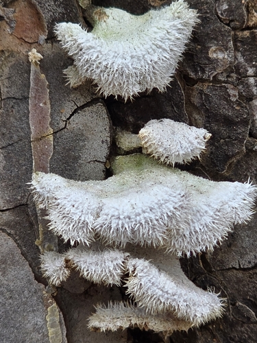
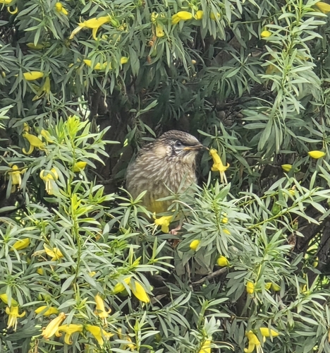
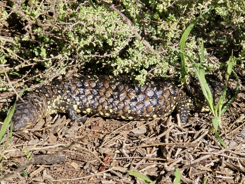
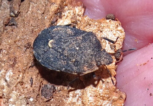
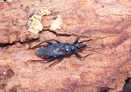
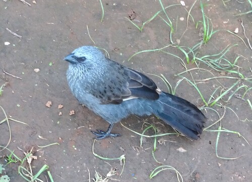
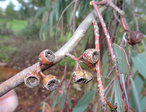
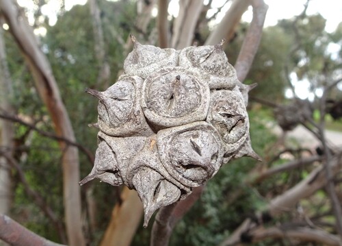
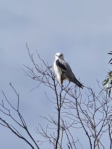
Research-grade observations from iNaturalist (within ~15 mi).
Events
Gallery
Geotagged photos within ~6 miles of Appila, from Wikimedia Commons contributors.


Photos via Wikimedia Commons — see each image page for license & attribution.
Official Identifiers
ABS — Australian Bureau of Statistics
- ASGS 2021
- SAL40037
- Population (Wikidata)
- 83
- Wikidata
- Q24090197
ASGS 2021 ID via Wikidata P10112
Sources
- • Wikipedia
- • Wikimedia Commons
- • Wikidata
- • USGS Earthquake Catalog (global feed)
- • GBIF (Global Biodiversity Information Facility)
- • iNaturalist
- • Open-Meteo / sunrise-sunset.org
- • Wikipedia Pageviews API
- • ABS — Australian Bureau of Statistics — ASGS 2021 ID via Wikidata P10112