Browse / Australia / Northern Territory / Aputula
Aputula
Northern Territorytown
Total population
191
Demographic figures from Australian Bureau of Statistics. Overview below cites Wikipedia and may reference a different year.
City facts
Overview
Aputula, alternatively spelt Apatula, is a remote Indigenous Australian community in the Northern Territory of Australia. It is 317 km (197 mi) south of Alice Springs and 159 km (99 mi) east of Kulgera roadhouse on the Stuart Highway, near the border with South Australia. The Finke River, runs within a few kilometres of the community. The river, which is part of the Lake Eyre basin, is dry for most of the year, but is subject to occasional floods.
Read more on WikipediaHistory & geography
History
A railway siding called Finke Siding was created on the Central Australia Railway around 1925. It began as a small working men's camp, where the fettlers (railway workers) lived in concrete buildings without family. The nearest police and postal services were at Charlotte Waters and the district's cattle yards and railway station were at Rumbalara. Car travellers were rare. Aboriginal people started visiting the siding as soon as it was built. Lower Southern Arrernte and Luritja people established a camp in the sandhills nearby, trading dingo scalps, wild flowers, artefacts and other items for water and food. A police station was built in the late 1930s, after the Charlotte Waters one closed down and the policemen, trackers, their families and some "aged and infirm" Aboriginal people moved to Finke. Residents petitioned for a postal service in 1938. Aboriginal visitors increased as people from Ernabella came to pick up supplies from the train. During the war years, the Central Australian Railway was the main transport route for thousands of soldiers from the southern states going to war in the Pacific, and the siding got its first repeater station operator as well as its first privately owned business. Finke used to have a police force mounted on camels, possibly "the largest police patrol in the world", and the last police station in the NT to use camels. Aboriginal trackers were an essential part of the patrols, which were often responsible for finding people lost in the bush. The last camel patrol left Finke in 1953. Trackers were also invaluable in solving crimes such as the Sundown murders in 1957. Finke police were also responsible for inspecting stock, registration of births, marriages and deaths, looking after mines, protecting birds and collecting taxes. The…
Excerpted from the corresponding Wikipedia article (CC BY-SA).
Geography
Coordinates & boundaries from the US Census TIGER/Line shapefiles.
Climate
Air quality
Walkability
Amenities nearby
Wildlife & biodiversity
Most-observed species
- short-beaked echidnaTachyglossus aculeatus (Shaw, 1792) · Mammalia32
- Magpie-larkGrallina cyanoleuca (Latham, 1802) · Aves3
- Zebra FinchTaeniopygia guttata (Vieillot, 1817) · Aves3
- Spotted HarrierCircus assimilis Jardine & Selby, 1828 · Aves3
- Central Bearded DragonPogona vitticeps (Ahl, 1926) · Squamata2
- Australian BustardArdeotis australis (J.E.Gray, 1829) · Aves2
- Red-backed KingfisherTodiramphus pyrrhopygius (Gould, 1841) · Aves2
- Little CorellaCacatua sanguinea Gould, 1843 · Aves2
Citizen-science & research observations from the Global Biodiversity Information Facility (GBIF).
Earthquake history
Events from the USGS Earthquake Catalog (global) (FDSN Event Web Service).
Photos
Sights & places nearby
Notable people from here
People born within ~10 km, from Wikidata (CC0). Click any name for their Wikipedia article.
Nearby places in Northern Territory
- Beer St Bore3.2 mi away
- Charlotte Waters30.2 mi away
- Oak Valley92.1 mi away
- Santa Teresa101.2 mi away · pop. 603
- Connellan131.8 mi away
- Ilparpa135.1 mi away · pop. 424
- Mpwetyerre136.3 mi away
- Anthelk Ewlpaye137.9 mi away
- Nyewente138.4 mi away
- Aper Alwerrkng139.5 mi away
- Mount Nancy139.6 mi away
- Angkerle Arrenge (A)144.4 mi away
Geography & sun
Elevation, sunrise/sunset and daylight from Open-Meteo. Solar climatology from NASA POWER.
Nearby airports
Public attention
Pageview totals from the Wikimedia Pageviews API.
Books about this place
Recent natural events nearby
Ground air-quality sensors
Recently spotted species
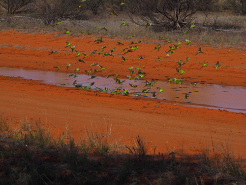
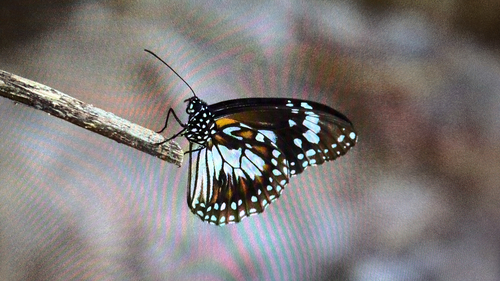
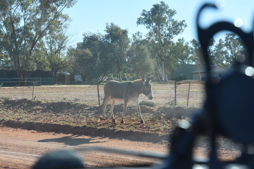
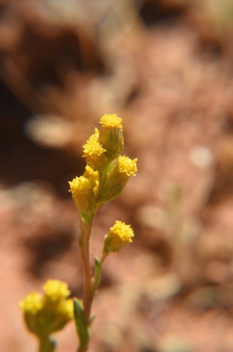
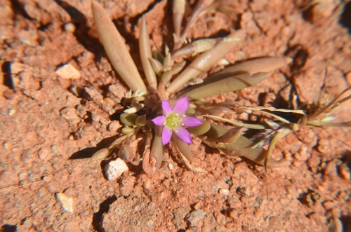
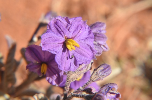
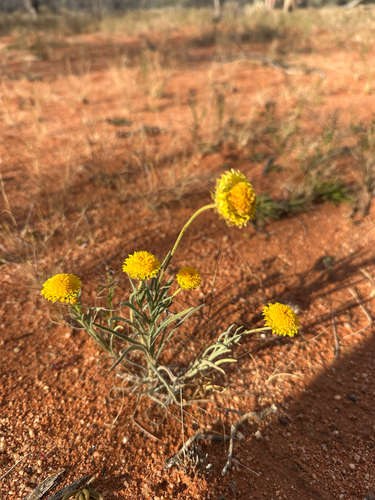
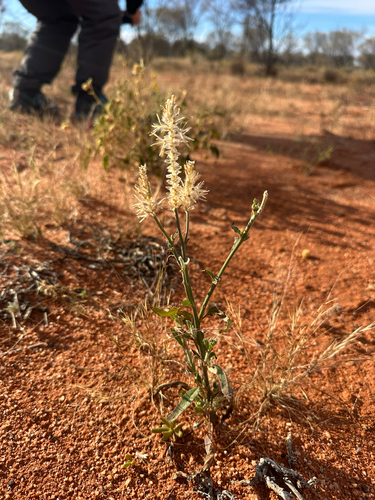
Research-grade observations from iNaturalist (within ~15 mi).
Events
Gallery
Geotagged photos within ~6 miles of Aputula, from Wikimedia Commons contributors.
_on_Central_Australia_Railway_at_Finke,_July_1948_(Dorothy_Pyatt,_SLSA_B_77447-50).jpg)
.jpg)
.jpg)
_climbing_out_of_the_Finke_River_depression,_probably_May_1974_(Hugh_S_Williams).jpg)


Photos via Wikimedia Commons — see each image page for license & attribution.
Sources
- • Wikipedia
- • Wikimedia Commons
- • Wikidata
- • USGS Earthquake Catalog (global feed)
- • GBIF (Global Biodiversity Information Facility)
- • iNaturalist
- • Open-Meteo / sunrise-sunset.org
- • Wikipedia Pageviews API