Browse / Australia / Queensland / Aramac
Aramac
Queenslandvillage

Aramac
Total population
226
Air quality index
Demographic figures from Australian Bureau of Statistics. Overview below cites Wikipedia and may reference a different year.
City facts
Facts from Wikidata (CC0).
Overview
Aramac is a rural town and locality in the Barcaldine Region, Queensland, Australia. In the 2021 census, the locality of Aramac had a population of 372 people.
Read more on WikipediaHistory & geography
History
Aramac lay on the traditional tribal lands of the Iningai. Iningai (also known as Yiningay, Muttaburra, Tateburra, Yinangay, Yinangi) is an Australian Aboriginal language spoken by the Iningai people. The Iningai language region includes the landscape within the local government boundaries of the Longreach Region and Barcaldine Region, particularly the towns of Longreach, Barcaldine, Muttaburra and Aramac as well as the properties of Bowen Downs and catchments of Cornish Creek and Alice River. In 1860, pastoralists and explorers, William Landsborough and Nathaniel Buchanan, travelled through the region looking for land to acquire. They came across a creek surrounded by good grazing country and Landsborough named it Aramac (derived from R.R. Mac) in honour of the future Premier of Queensland, Robert Ramsey Mackenzie. British pastoral occupation began in the region in 1862 with the formation of the massive Bowen Downs station. Aramac Station was established by John Rule and Dyson Lacey in 1863. In 1867, an employee of Aramac Station, John William Kingston, opened a bark-hut store at an outlying point on the Aramac Creek. Enlarged two years later to include a hotel (Kingston's Bazaar), Kingston's settlement was declared a town site in 1869 and surveyed as a town in 1875. It was the region's first town, and the centre of the first local-government division. To this day John William Kingston is recognised as the original founder of Aramac. His grave bears a plaque in the Aramac Cemetery acknowledging his achievement. The town was originally called Marathon. The name was changed to that of Aramac, after the station, when the survey was conducted in 1875. Recollections of an 1878 visit to Aramac were published in the Rockhampton Morning Bulletin in 1933, describing the…
Geography
Aramac is located north of Barcaldine, and by road from the state capital, Brisbane. It is situated on Aramac Creek, which flows into the Thomson River west of town. The Muttaburra–Aramac Road enters from the north and exits as Barcaldine–Aramac Road to the south. The predominant industry is grazing. The town water for Aramac is supplied from two bores connecting into the Great Artesian Basin.
Excerpted from the corresponding Wikipedia article (CC BY-SA).
Geography
Coordinates & boundaries from the US Census TIGER/Line shapefiles.
Climate
Air quality
Current readings from Open-Meteo Air Quality API (Copernicus CAMS European reanalysis).
Walkability
Amenities nearby
Wildlife & biodiversity
Most-observed species
- Willie-wagtailRhipidura leucophrys (Latham, 1802) · Aves39
- Magpie-larkGrallina cyanoleuca (Latham, 1802) · Aves38
- Black KiteMilvus migrans (Boddaert, 1783) · Aves37
- Australian MagpieGymnorhina tibicen (Latham, 1802) · Aves36
- Crested PigeonOcyphaps lophotes (Temminck, 1822) · Aves32
- EmuDromaius novaehollandiae (Latham, 1790) · Aves30
- Zebra FinchTaeniopygia guttata (Vieillot, 1817) · Aves26
- ApostlebirdStruthidea cinerea Gould, 1837 · Aves24
Citizen-science & research observations from the Global Biodiversity Information Facility (GBIF).
Earthquake history
Events from the USGS Earthquake Catalog (global) (FDSN Event Web Service).
Photos
Sights & places nearby
Notable people from here
People born within ~10 km, from Wikidata (CC0). Click any name for their Wikipedia article.
Nearby places in Queensland
- Barcaldine40.5 mi away · pop. 1,243
- Jericho70.9 mi away
- Alpha100.1 mi away · pop. 259
- Blackall101.3 mi away · pop. 1,064
- Isisford102.5 mi away
- Monteagle Homestead121.6 mi away
- Charton Homestead122.4 mi away
- Kalang Homestead122.8 mi away
- Bogantungan138 mi away
- Cairo Homestead139.7 mi away
- Mutation Homestead148.3 mi away
- Stamford149.3 mi away
Geography & sun
Elevation, sunrise/sunset and daylight from Open-Meteo. Solar climatology from NASA POWER.
Nearby airports
Public attention
Pageview totals from the Wikimedia Pageviews API.
Books about Aramac
Search results from Open Library.
Recent natural events nearby
Ground air-quality sensors
Recently spotted species
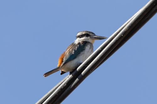
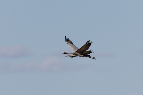
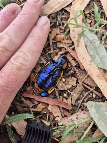
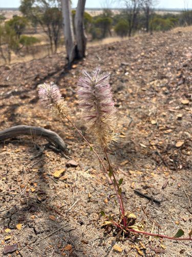
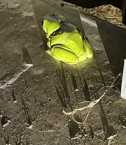
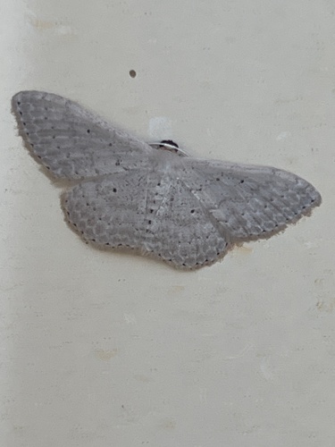
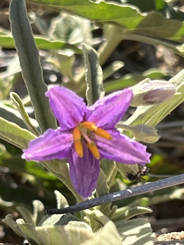
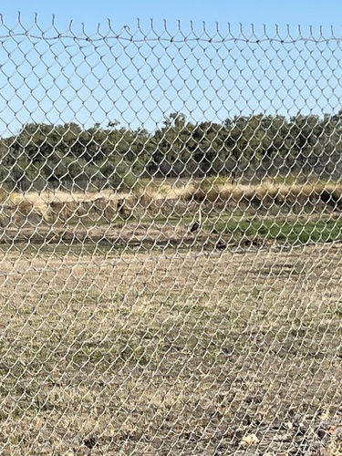
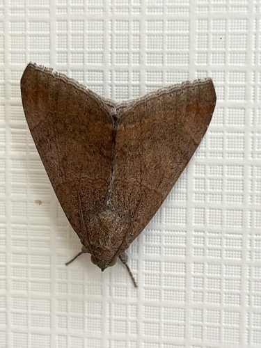
Research-grade observations from iNaturalist (within ~15 mi).
Events
Gallery
Geotagged photos within ~6 miles of Aramac, from Wikimedia Commons contributors.
 0.1 mi
 0.1 mi
.jpg) 0.1 mi
0.1 mi.jpg) 0.1 mi
0.1 mi 0.2 mi
 0.2 mi
.jpg) 0.3 mi
0.3 mi.jpg) 0.3 mi
0.3 mi.jpg) 0.3 mi
0.3 mi.jpg) 0.3 mi
0.3 mi 0.3 mi
 0.3 mi
 0.3 mi
 1.3 mi
 4.1 mi
 4.1 mi
 4.1 mi
 4.1 mi
Photos via Wikimedia Commons — see each image page for license & attribution.
Sources
- • Wikipedia
- • Wikimedia Commons
- • Wikidata
- • Open-Meteo Air Quality (CAMS)
- • USGS Earthquake Catalog (global feed)
- • GBIF (Global Biodiversity Information Facility)
- • iNaturalist
- • Open-Meteo / sunrise-sunset.org
- • Wikipedia Pageviews API
- • Open Library