Browse / Australia / Victoria / Ararat
Ararat
Victoriatown

Ararat
Total population
7,015
Founded
1857
Air quality index
Demographic figures from Australian Bureau of Statistics. Overview below cites Wikipedia and may reference a different year.
City facts
Facts from Wikidata (CC0).
Overview
Ararat is a town in the Central Highlands region in Victoria, Australia, about 198 kilometres (120 mi) west of Melbourne, on the Western Highway on the eastern slopes of the Ararat Hills and Cemetery Creek valley between Victoria's Western District and the Wimmera. The source of the Hopkins River is a few kilometres to the east below Telegraph Hill.
Read more on WikipediaHistory & geography
History
Prior to the European settlement of Australia, Ararat was inhabited by the Djab wurrung group of Aboriginal Australian people. The area encompassing Ararat has many Djabwurrung language placenames; 'Karangajaruk' refers to 'the valley in which Cathcart and the Ararat (gold) diggings lie', 'Warrayatkin' refers to Green Hill Lake, 'Butingitch' refers to the Ararat town site, 'Gorambeep barak' refers to Mount Ararat, and 'Pandort' refers to a large waterhole to the south. One month later the Gold Warden relocated to the current town. Until 1859 the local courts were the Canton Lead Court of Petty Sessions. Alluvial gold was first discovered in the Ararat area in May 1854 at Pinky Point on the Denicull Creek. (A memorial can be found on the corner of the Ararat - Halls Gap Road (C222) and Better Route Road 5 km west of Ararat. Pinky Point is to the north.) By June that year 30 claims were being worked by 200 men across what was first called the Mt William field. By 1864, most of the 1,500 miners were reworking the known leads with puddling machines, sluices and Long Toms. Returns were diminishing and the 1865–1866 drought brought this phase of full-time gold mining to an end. The rapid growth generated by gold brought about a municipality, which was incorporated as a borough on 24 September 1858. In the aftermath of the goldrush, Ararat soon became known for its asylum. The Aradale Mental Hospital opened in 1865 with the former the Ararat County Gaol converted in 1887 to J Ward, a psychiatric facility for the criminally insane. The Hospital remained open as a treatment facility until 1997 and has since become the site for paranormal and haunted house tours. Vines were planted in 1863 by Swiss settlers, the Pola family.
Geography
Ararat is nestled between several mountain ranges, including the Grampians National Park, Mount Langi Ghiran, Mount Cole, Mount Buangor, Ararat Hills Regional Park and the Pyrenees Ranges. Cemetery Creek, the valley's main catchment runs through the north of the town while Green Hill lake is on the city's eastern fringe. Ararat has a temperate Mediterranean climate (Köppen Csb), with warm summers that are frequently interrupted by cold fronts; and cool, usually rainy, winters.
Excerpted from the corresponding Wikipedia article (CC BY-SA).
Geography
Coordinates & boundaries from the US Census TIGER/Line shapefiles.
Climate
10-year averages from ERA5 reanalysis (Open-Meteo).
Air quality
Current readings from Open-Meteo Air Quality API (Copernicus CAMS European reanalysis).
Walkability
Amenities nearby
Wildlife & biodiversity
Most-observed species
- Australian MagpieGymnorhina tibicen (Latham, 1802) · Aves498
- Superb FairywrenMalurus cyaneus (Ellis, 1782) · Aves367
- Red WattlebirdAnthochaera carunculata (Shaw, 1790) · Aves361
- Crimson RosellaPlatycercus elegans (Gmelin, 1788) · Aves294
- Sulphur-crested CockatooCacatua galerita (Latham, 1790) · Aves263
- Welcome SwallowHirundo neoxena Gould, 1842 · Aves252
- Little RavenCorvus mellori Mathews, 1912 · Aves239
- Gray ShrikethrushColluricincla harmonica (Latham, 1802) · Aves237
Citizen-science & research observations from the Global Biodiversity Information Facility (GBIF).
Earthquake history
Most recent
- M 3.8 — 2011-06-0145 km NE of Hamilton, Australia
Events from the USGS Earthquake Catalog (global) (FDSN Event Web Service).
Photos
Sights & places nearby
Notable people from here


People born within ~10 km, from Wikidata (CC0). Click any name for their Wikipedia article.
Nearby places in Victoria
Geography & sun
Elevation, sunrise/sunset and daylight from Open-Meteo. Solar climatology from NASA POWER.
Nearby airports
Public attention
Pageview totals from the Wikimedia Pageviews API.
Books about Ararat

Search results from Open Library.
Recent natural events nearby
Ground air-quality sensors
Recently spotted species
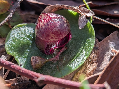
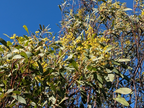
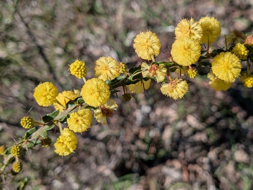
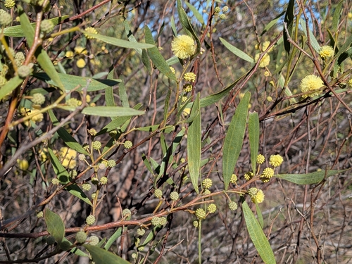
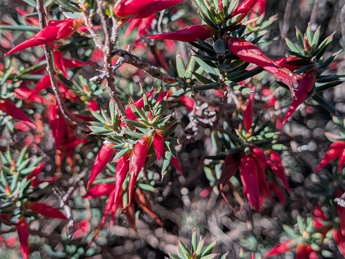
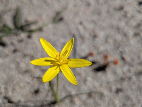
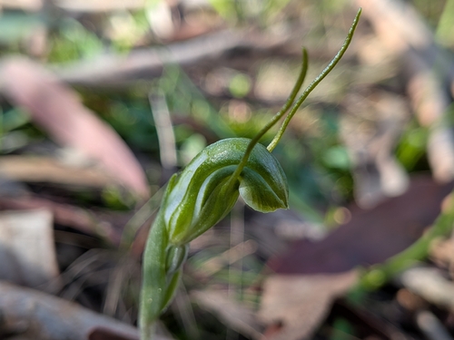
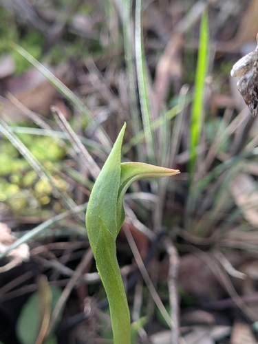
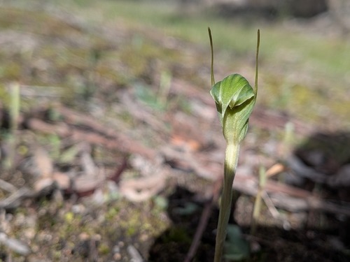
Research-grade observations from iNaturalist (within ~15 mi).
Events
Gallery
Geotagged photos within ~6 miles of Ararat, from Wikimedia Commons contributors.


Photos via Wikimedia Commons — see each image page for license & attribution.
Sources
- • Wikipedia
- • Open-Meteo (ERA5 reanalysis)
- • Wikimedia Commons
- • Wikidata
- • Open-Meteo Air Quality (CAMS)
- • USGS Earthquake Catalog (global feed)
- • GBIF (Global Biodiversity Information Facility)
- • iNaturalist
- • Open-Elevation
- • Open-Meteo / sunrise-sunset.org
- • Wikipedia Pageviews API
- • Open Library