Browse / Australia / Northern Territory / Areyonga
Areyonga
Northern Territoryhamlet

Areyonga
Demographic figures from Australian Bureau of Statistics. Overview below cites Wikipedia and may reference a different year.
City facts
Overview
Areyonga is a small town in the Northern Territory of Australia, located about 220 km (140 mi) west of Alice Springs. Founded in the 1920s, it had a population of about 236 in the 2021 Australian census, most of whom are Aboriginal people of the Pitjantjatjara language group.
Read more on WikipediaHistory & geography
History
Areyonga was founded during the 1920s. A long drought forced Pitjantatjara families to leave Kaḻṯukatjara and other places in the Petermann Ranges. They originally moved to Hermannsburg and then set up a new community at Areyonga. A Lutheran mission was established in the settlement in the 1940s. In the 1970s, many people from the mission moved back to the community at Kaḻṯukatjara. The Lutheran mission at Areyonga was closed in 1990, and the land was given back to the native people as part of the Haasts Bluff Aboriginal Land Trust. The term "Finke River Mission" was initially an alternative name for the mission at Hermannsburg, but this name was later often used to include the settlements at Haasts Bluff, Areyonga and, later, Papunya. It now refers to all Lutheran missionary activity in Central Australia since the first mission was established at Hermannsburg in 1877. In the 1950s and 60s, many of the local women worked as domestic servants for white families, and the men in orchards and public utilities. The children were put in uniforms and taken to school by white people, and afterwards taken back to camp. Through the 1970s to 1980s, a number of models of self-governing councils were trialled.
Excerpted from the corresponding Wikipedia article (CC BY-SA).
Geography
Coordinates & boundaries from the US Census TIGER/Line shapefiles.
Climate
Air quality
Walkability
Amenities nearby
Wildlife & biodiversity
Most-observed species
- Brown FalconFalco berigora Vigors & Horsfield, 1827 · Aves4
- Cundeelee Grass-treeXanthorrhoea thorntonii Tate · Liliopsida4
- horseEquus caballus Linnaeus, 1758 · Mammalia3
- Black-faced CuckooshrikeCoracina novaehollandiae (Gmelin, 1789) · Aves3
- Yellow-throated MinerManorina flavigula (Gould, 1840) · Aves3
- Willie-wagtailRhipidura leucophrys (Latham, 1802) · Aves3
- Arabian CamelCamelus dromedarius Linnaeus, 1758 · Mammalia2
- Monistria pustulifera (Walker, 1871)Monistria pustulifera (Walker, 1871) · Insecta1
Citizen-science & research observations from the Global Biodiversity Information Facility (GBIF).
Earthquake history
Events from the USGS Earthquake Catalog (global) (FDSN Event Web Service).
Photos
Sights & places nearby
Notable people from here
People born within ~10 km, from Wikidata (CC0). Click any name for their Wikipedia article.
Nearby places in Northern Territory
Geography & sun
Elevation, sunrise/sunset and daylight from Open-Meteo. Solar climatology from NASA POWER.
Nearby airports
Public attention
Pageview totals from the Wikimedia Pageviews API.
Books about Areyonga
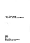
Search results from Open Library.
Recent natural events nearby
Ground air-quality sensors
Recently spotted species
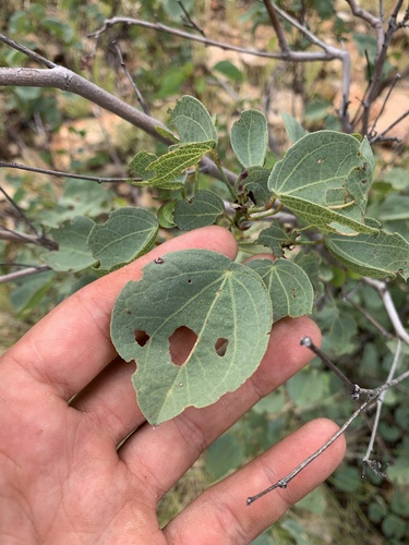
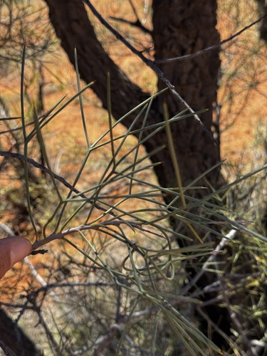
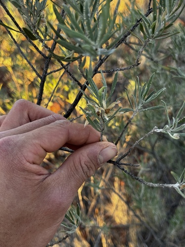
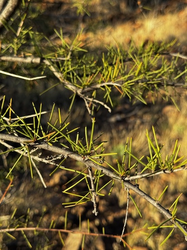
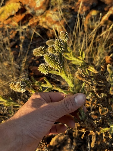
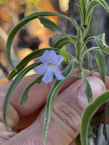
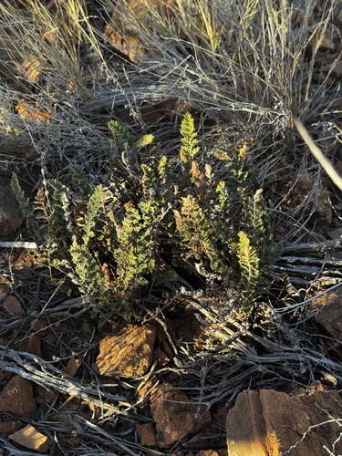
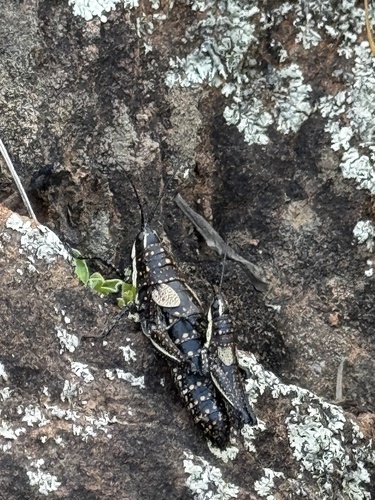
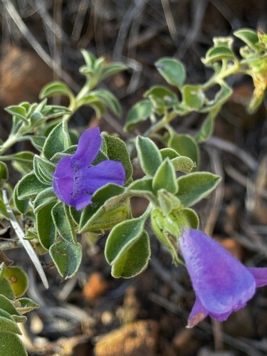
Research-grade observations from iNaturalist (within ~15 mi).
Events
Gallery
Sources
- • Wikipedia
- • Wikidata
- • USGS Earthquake Catalog (global feed)
- • GBIF (Global Biodiversity Information Facility)
- • iNaturalist
- • Open-Meteo / sunrise-sunset.org
- • Wikipedia Pageviews API
- • Open Library