Browse / Australia / South Australia / Arkaroola Village
Arkaroola Village
South Australiavillage

Arkaroola Village
Demographic figures from Australian Bureau of Statistics. Overview below cites Wikipedia and may reference a different year.
City facts
Overview
Arkaroola Wilderness Sanctuary, commonly known simply as Arkaroola, is a wildlife sanctuary situated on 610 square kilometres of freehold and pastoral lease land in South Australia. It is located 700 kilometres north of the Adelaide city centre in the Northern Flinders Ranges, adjacent to the Vulkathunha-Gammon Ranges National Park and the Mawson Plateau. The usual way to get there is by car, but air travel can be chartered from Parafield Airport, Adelaide Airport or Aldinga Airfield. It was used as a location set for the 2002 film The Tracker.
Read more on WikipediaHistory & geography
History
The area's first people are the Adnyamathanha. One of their Dreaming or creation stories says that Arkaroo, a mythical monster, drank Lake Frome dry. He then crawled up into the mountains. When he urinated he created the waterholes that are a feature of the area. His movement over the land created Arkaroola Creek. The first Anglo-Europeans to visit the area was explorer Edward Eyre in 1840 and the surveyor George Goyder in 1857. There was a small failed settlement nearby, at the Yudnamutana copper mine, from 1860 to 1863. The drought of 1863 drove the miners away. Settlement didn't occur again until 1903, when rubies and sapphires were discovered. By 1910 a copper smelter was built at Yudnamutana and uranium was also discovered nearby by Douglas Mawson, famous Antarctic explorer. The land was always marginal for white pastoralism or agriculture and projects failed quickly. The pioneering Greenwood family were mineral prospectors and pastoralists in the area. William Bentley Greenwood was the owner of the nearby Umberatana pastoral lease in 1902, and in 1910 discovered uranium deposits at Mount Painter in the form of torbanite, identified by geologist Douglas Mawson. His son, Gordon Arthur Greenwood, took up the lease of Mount Serle after giving up the lease of Umberatana, and worked with his father at Mt Painter. As of July 1946, Bentley Greenwood, brother of Gordon, was running Arkaroola Station. Uranium exploration persisted sporadically and led to the development of good roads by optimistic companies. The Arkaroola Wilderness Sanctuary was established by geologist Reg Sprigg in 1968 after he purchased the pastoral lease. He had been involved in surveys in the area before that. He purchased the pastoral lease (part of which is now held as freehold In 1979 he was…
Excerpted from the corresponding Wikipedia article (CC BY-SA).
Geography
Coordinates & boundaries from the US Census TIGER/Line shapefiles.
Climate
10-year averages from ERA5 reanalysis (Open-Meteo).
Air quality
Walkability
Amenities nearby
Wildlife & biodiversity
Most-observed species
- red kangarooMacropus rufus (Desmarest, 1822) · Mammalia981
- eastern wallarooMacropus robustus Gould, 1840 · Mammalia934
- EmuDromaius novaehollandiae (Latham, 1790) · Aves610
- Spiny-cheeked HoneyeaterAcanthagenys rufogularis Gould, 1838 · Aves191
- Little CorellaCacatua sanguinea Gould, 1843 · Aves189
- Zebra FinchTaeniopygia guttata (Vieillot, 1817) · Aves182
- Willie-wagtailRhipidura leucophrys (Latham, 1802) · Aves162
- Australian RingneckBarnardius zonarius (Shaw, 1805) · Aves149
Citizen-science & research observations from the Global Biodiversity Information Facility (GBIF).
Earthquake history
Most recent
- M 2.5 — 2007-11-19184 km NE of Quorn, Australia
- M 4 — 2007-01-28166 km E of Roxby Downs, Australia
- M 3.9 — 2006-07-27196 km NE of Quorn, Australia
- M 4.4 — 2005-05-14182 km NE of Quorn, Australia
- M 4.5 — 2005-03-03191 km NNE of Quorn, Australia
Events from the USGS Earthquake Catalog (global) (FDSN Event Web Service).
Photos
Sights & places nearby
Notable people from here
Nearby places in South Australia
- Balcanoona Homestead15.3 mi away
- Iga-Warta Aboriginal Community30.8 mi away · pop. 7
- Lyndhurst58.9 mi away · pop. 3
- Beltana Historic Town64.9 mi away · pop. 37
- Witchelina Homestead79.7 mi away
- Mount Nor West Homestead81.9 mi away
- Wilpena Pound94.4 mi away
- Oak Dam Village135.3 mi away
- Olary148.1 mi away · pop. 4
- Mannahill151.4 mi away · pop. 4
- Cockburn156.7 mi away · pop. 12
- Black Rock178.1 mi away
Geography & sun
Elevation, sunrise/sunset and daylight from Open-Meteo. Solar climatology from NASA POWER.
Nearby airports
Public attention
Pageview totals from the Wikimedia Pageviews API.
Books about this place
Recent natural events nearby
Ground air-quality sensors
Recently spotted species
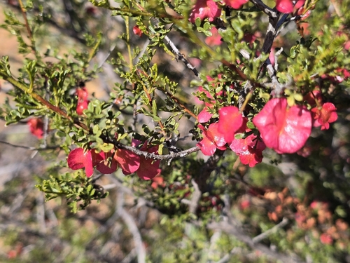
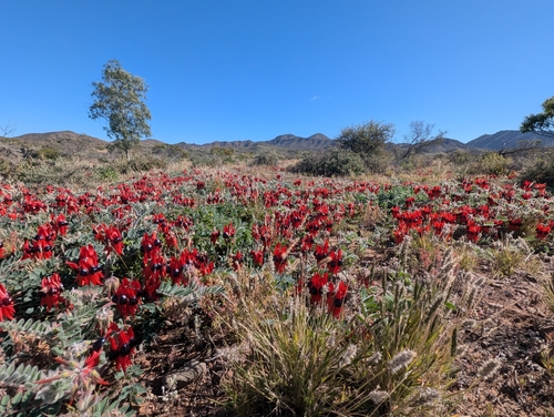
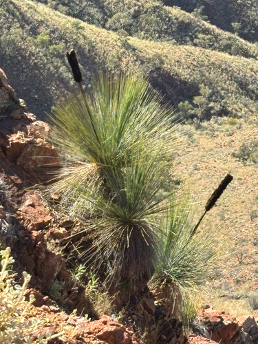
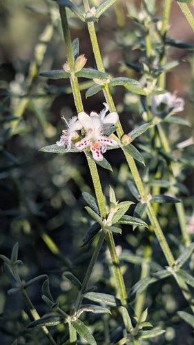
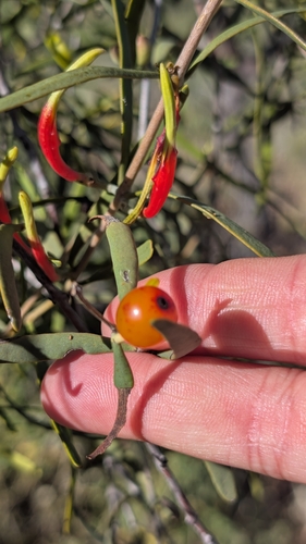
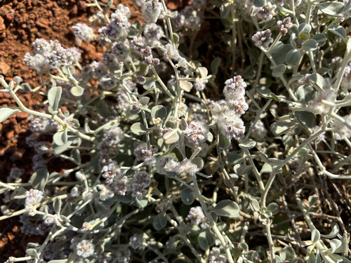
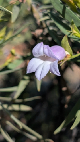
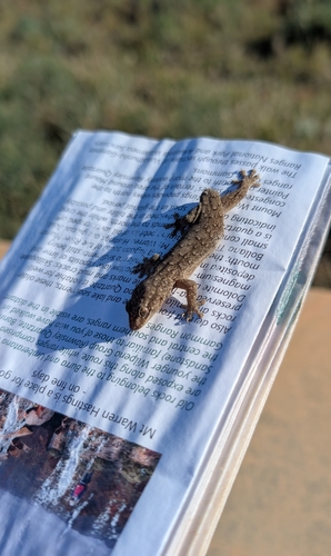
Research-grade observations from iNaturalist (within ~15 mi).
Events
Gallery
Geotagged photos within ~6 miles of Arkaroola Village, from Wikimedia Commons contributors.


Photos via Wikimedia Commons — see each image page for license & attribution.
Sources
- • Wikipedia
- • Open-Meteo (ERA5 reanalysis)
- • Wikimedia Commons
- • Wikidata
- • USGS Earthquake Catalog (global feed)
- • GBIF (Global Biodiversity Information Facility)
- • iNaturalist
- • Open-Meteo / sunrise-sunset.org
- • Wikipedia Pageviews API