Browse / Australia / Western Australia / Armadale
Armadale
Western Australiatown

Armadale
Demographic figures from Australian Bureau of Statistics. Overview below cites Wikipedia and may reference a different year.
City facts
Facts from Wikidata (CC0).
Overview
Armadale is a suburb of Perth, Western Australia, within the City of Armadale, located on the south-eastern edge of the Perth metropolitan region. The major junction of the South Western and Albany Highways, which connect Perth with the South West and Great Southern regions respectively, is located within the suburb. It was once the terminus of the Armadale railway line, one of eight major railway lines to service Perth.
Read more on WikipediaHistory & geography
History
Plentiful in natural resources, the area now known as Armadale was long occupied by Aboriginal people prior to the founding of the Swan River Colony. Records of encounters with the original Aboriginal inhabitants of this district are sparse in detail, but early on there was conflict between these inhabitants and the settlers, which led to the establishment of a small garrison at Kelmscott. The township of Kelmscott was gazetted in 1830, and for the next sixty years was the administrative and social hub for those colonists who took up land between present-day Kelmscott and Byford. Interest in settlement at Kelmscott waned soon after the township was established, the district's inaccessibility (no road from Perth having yet been formed) and a general shortage of labour being factors militating against farming in that area. However, several large land grants had been taken up in the district, including one of over 8000 acres (Location 31) initially held by John Adams, and over the next few decades this allocated land presented a constraint to others seeking land for settlement in the area. Parts of these larger allocations were subdivided and on-sold, and smaller allocations were taken up alongside them. Thus, during the 1840s a number of farming properties were established in the foothills along the Canning River, Neerigin Brook, Wongong Brook and Beenyup Brook. Names of these early settlers included White, Stuart, Martin, Armstrong, and Mead. In the late 1846, the Swan River Colony's first mine was established in the area now known as Armadale. The mine was the first undertaking of the Western Australian Mining Company, formed that year, and the object was to extract lead or copper - the ores of both metals having been in evidence. Land was purchased, and over the…
Excerpted from the corresponding Wikipedia article (CC BY-SA).
Geography
Coordinates & boundaries from the US Census TIGER/Line shapefiles.
Climate
Air quality
Walkability
Amenities nearby
Wildlife & biodiversity
Earthquake history
Photos
Sights & places nearby
Notable people from here
Nearby places in Western Australia
Geography & sun
Elevation, sunrise/sunset and daylight from Open-Meteo. Solar climatology from NASA POWER.
Nearby airports
Public attention
Pageview totals from the Wikimedia Pageviews API.
Books about Armadale
Search results from Open Library.
Recent natural events nearby
Ground air-quality sensors
Recently spotted species
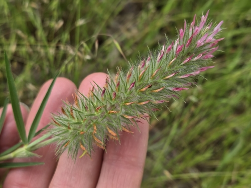
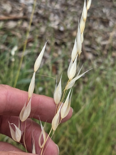
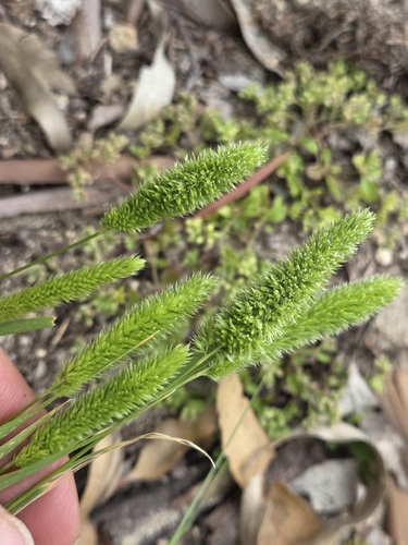
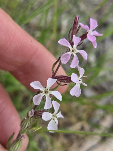
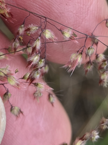
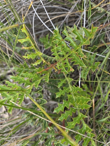
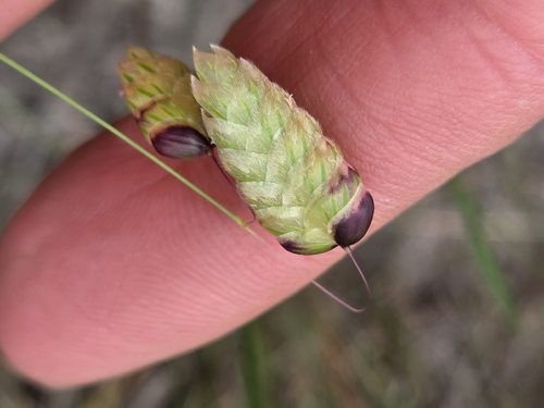
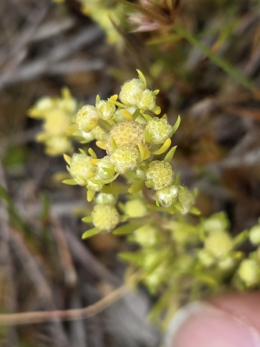
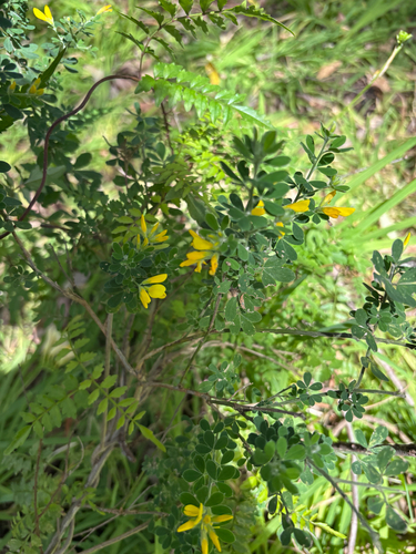
Research-grade observations from iNaturalist (within ~15 mi).
Events
Gallery
Sources
- • Wikipedia
- • Wikidata
- • iNaturalist
- • Open-Meteo / sunrise-sunset.org
- • Wikipedia Pageviews API
- • Open Library