Browse / Australia / Queensland / Babinda
Babinda
Queenslandtown

Babinda
Total population
1,113
Demographic figures from Australian Bureau of Statistics. Overview below cites Wikipedia and may reference a different year.
City facts
Facts from Wikidata (CC0).
Overview
Babinda is a rural town and locality in the Cairns Region, Queensland, Australia. Babinda and Tully annually compete for the Golden Gumboot, an award for Australia's wettest town. Babinda is usually the winner, and has an annual average rainfall of 4,279.4 millimetres (168.48 in). In the 2021 census, the locality of Babinda had a population of 1,287.
Read more on WikipediaHistory & geography
History
Babinda takes its name from the local Indigenous Australian language for mountain. Other sources, however, claim it is a Yidinji word for water, possibly referring to the high rainfall of the area. Operations to build a sugar mill commenced in 1914 and support services were expanded around this (see Babinda Sugar Mill). Babinda State School opened on 4 November 1914. Initially occupying temporary premises, the school's first permanent site was 24-34 Church Street (), now Babinda Swimming Pool and adjacent properties. In 1963, it expanded to offer secondary schooling to Year 10. The school relocated to its present site in Boulders Road in 1969, although it continued to use some facilities on the old site until 1973. In 1983, the school expanded to offer secondary schooling to Year 12. Babinda Post Office opened by 1915 (a Babinda Creek receiving office had been open since 1891). The Babinda Sugar Mill opened on 15 September 1915. It closed on 23 February 2011. It was the main source of revenue and economic activity in the local area. Babinda was known for historically being a “sugar town” and the Mill was described as being the “lifeblood of the town”. On 20 April 1916, the Cane Beetles March commenced at Mooliba (now Mirriwinni). It was a snowball march to recruit men into the Australian Imperial Force during World War I at a time when enthusiasm to enlist had waned after the loss of life in the Gallipoli campaign. The march began at Mooliba with 4 men, passing through Babinda, Aloomba, Gordonvale, and Edmonton, and ending in Cairns 60 kilometres later with 29 recruits. Babinda Presbyterian church was officially opened on Sunday 5 November 1916 by Reverend S. Mitchell. On Sunday 18 March 1917, Bishop John Heavey laid the foundation for Babinda's Catholic…
Geography
Babinda is located south of Cairns. The town is noted for its proximity to Queensland's two highest mountains Mount Bartle Frere (Queensland's highest peak) and Mount Bellenden Ker. The Bruce Highway enters the locality from the south (Mirriwinni), passes through the town, and exits to the north (Bellenden Ker). The North Coast railway line also enters the locality from the south (Mirrinwinni), passes through the town, and exits to the north (Bellenden Ker). The locality was served by two railway stations: * Babinda railway station, serving the town () * Palma railway station, once serving the north of the locality but now abandoned ()
Excerpted from the corresponding Wikipedia article (CC BY-SA).
Geography
Coordinates & boundaries from the US Census TIGER/Line shapefiles.
Climate
10-year averages from ERA5 reanalysis (Open-Meteo).
Air quality
Walkability
Amenities nearby
Wildlife & biodiversity
Most-observed species
- Australasian FigbirdSphecotheres vieilloti Vigors & Horsfield, 1827 · Aves412
- Black ButcherbirdMelloria quoyi (R.P.Lesson & Garnot, 1827) · Aves410
- Yellow-spotted HoneyeaterMeliphaga notata (Gould, 1867) · Aves401
- Green OrioleOriolus flavocinctus (King, 1826) · Aves357
- Metallic StarlingAplonis metallica (Temminck, 1824) · Aves329
- Masked LapwingVanellus miles (Boddaert, 1783) · Aves313
- Sulphur-crested CockatooCacatua galerita (Latham, 1790) · Aves291
- Varied TrillerLalage leucomela (Vigors & Horsfield, 1827) · Aves291
Citizen-science & research observations from the Global Biodiversity Information Facility (GBIF).
Earthquake history
Most recent
- M 3.6 — 2011-03-1530 km NE of Innisfail Estate, Australia
Events from the USGS Earthquake Catalog (global) (FDSN Event Web Service).
Photos
Sights & places nearby
Notable people from here


People born within ~10 km, from Wikidata (CC0). Click any name for their Wikipedia article.
Nearby places in Queensland
- Berner Creek16.3 mi away · pop. 16
- Mourilyan18.2 mi away · pop. 391
- East Palmerston18.6 mi away · pop. 220
- Gordonvale19.7 mi away · pop. 6,035
- Eachamvale21.1 mi away
- Mena Creek21.6 mi away · pop. 210
- Weerimba21.6 mi away
- Tarzali21.8 mi away · pop. 431
- Tinaburra23.3 mi away
- Millaa Millaa23.5 mi away · pop. 314
- Kairi26.6 mi away · pop. 490
- Yarrabah30.4 mi away
Geography & sun
Elevation, sunrise/sunset and daylight from Open-Meteo. Solar climatology from NASA POWER.
Nearby airports
Public attention
Pageview totals from the Wikimedia Pageviews API.
Books about this place
Recent natural events nearby
Ground air-quality sensors
Recently spotted species
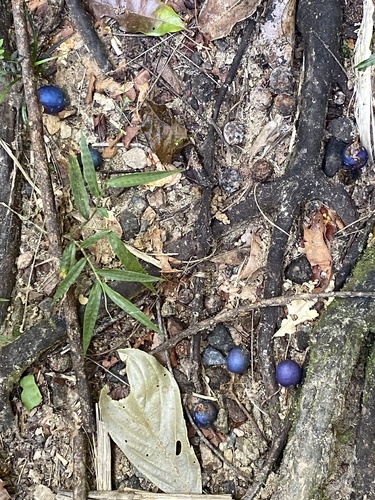
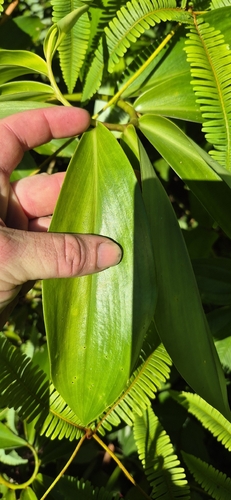
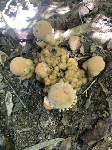
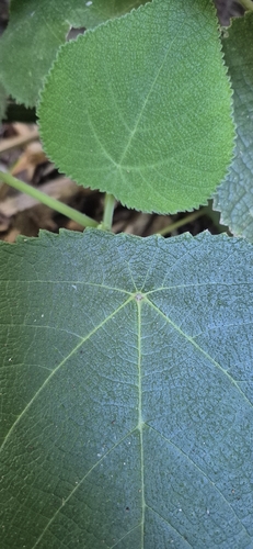
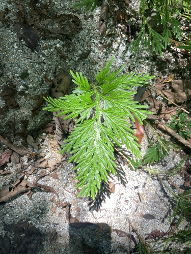
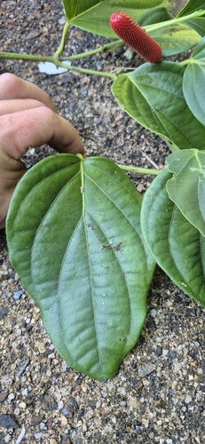
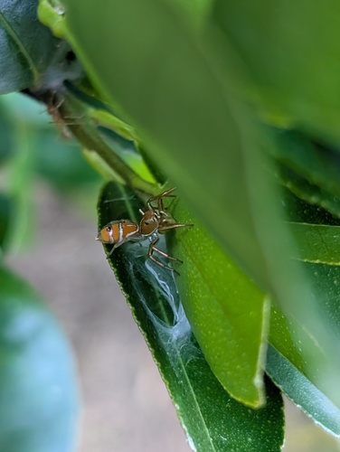
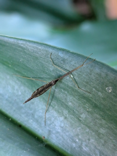
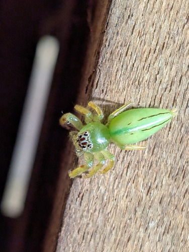
Research-grade observations from iNaturalist (within ~15 mi).
Events
Gallery
Geotagged photos within ~6 miles of Babinda, from Wikimedia Commons contributors.
 0 mi
0 mi,_Babinda,_2018_01.jpg) 0 mi
0 mi,_Babinda,_2018_02.jpg) 0 mi
0 mi 0 mi
0 mi,_Babinda,_2018.jpg) 0 mi
0 mi 0.1 mi
.jpg) 0.1 mi
0.1 mi.jpg) 0.1 mi
0.1 mi.jpg) 0.1 mi
0.1 mi 0.1 mi
 0.2 mi
_and_East_Russell_(background),_2018.jpg) 2.4 mi
2.4 mi_and_East_Russell_(background),_2018.jpg) 2.4 mi
2.4 mi,_2018.jpg) 2.4 mi
2.4 mi,_2018.jpg) 2.4 mi
2.4 mi 2.7 mi
 2.7 mi
 2.7 mi
 2.8 mi
 3.2 mi
 3.4 mi
 3.4 mi
 3.4 mi
 3.4 mi
Photos via Wikimedia Commons — see each image page for license & attribution.
Sources
- • Wikipedia
- • Open-Meteo (ERA5 reanalysis)
- • Wikimedia Commons
- • Wikidata
- • USGS Earthquake Catalog (global feed)
- • GBIF (Global Biodiversity Information Facility)
- • iNaturalist
- • Open-Meteo / sunrise-sunset.org
- • Wikipedia Pageviews API