Browse / Australia / Queensland / Bamaga
Bamaga
Queenslandtown

Bamaga
Total population
1,180
Air quality index
Demographic figures from Australian Bureau of Statistics. Overview below cites Wikipedia and may reference a different year.
City facts
Overview
Bamaga is an Indigenous town and locality about 40 kilometres (25 mi) from the northern tip of Cape York in the north of Queensland, Australia. It is within the Northern Peninsula Area Region. It is one of the northernmost settlements in continental Australia and is the administrative centre for the Northern Peninsula Area Regional Council.
Read more on WikipediaHistory & geography
History
The original site for the township of Bamaga was at a site known as "Muttee Heads" some south of the present Bamaga township. The present site was established after World War II by people from Saibai Island in Torres Strait, after Saibai Island was devastated by abnormally high tides. It is named after Saibai elder Bamaga Ginau, who envisaged the site but died before it was established. Bamaga State School opened on 28 January 1964. On 23 March 2005, it was renamed Northern Peninsula Area State College. Some 20 years later, another community, "New Mapoon", was established. It was set up for the forced relocation of people of "Old Mapoon" community, located some two hours north by road from the township of Weipa for bauxite mining. Bamaga State High School opened on 30 January 1973, but closed on 9 December 1994.
Geography
Bamaga and the surrounding communities are located north of the Jardine River which supplies the town water.
Excerpted from the corresponding Wikipedia article (CC BY-SA).
Geography
Coordinates & boundaries from the US Census TIGER/Line shapefiles.
Climate
Air quality
Current readings from Open-Meteo Air Quality API (Copernicus CAMS European reanalysis).
Walkability
Amenities nearby
Wildlife & biodiversity
Most-observed species
- Green OrioleOriolus flavocinctus (King, 1826) · Aves318
- Bar-shouldered DoveGeopelia humeralis (Temminck, 1821) · Aves316
- Sulphur-crested CockatooCacatua galerita (Latham, 1790) · Aves293
- Rainbow LorikeetTrichoglossus haematodus (Linnaeus, 1771) · Aves257
- Palm CockatooProbosciger aterrimus (Gmelin, 1788) · Aves243
- Yellow-spotted HoneyeaterMeliphaga notata (Gould, 1867) · Aves240
- Australasian FigbirdSphecotheres vieilloti Vigors & Horsfield, 1827 · Aves240
- Australian BrushturkeyAlectura lathami J.E.Gray, 1831 · Aves212
Citizen-science & research observations from the Global Biodiversity Information Facility (GBIF).
Earthquake history
Events from the USGS Earthquake Catalog (global) (FDSN Event Web Service).
Photos
Sights & places nearby
Notable people from here
Nearby places in Queensland
- New Mapoon1.6 mi away
- Umagico2.6 mi away
- Seisia3.3 mi away · pop. 293
- Injinoo4.4 mi away · pop. 493
- St Josephs25.8 mi away
- Kubin46.7 mi away
- St Pauls48.7 mi away · pop. 278
- Bramwell Junction84 mi away
- Aurukun176.2 mi away · pop. 1,101
- Kowanyama319.8 mi away · pop. 1,079
- Laura351.2 mi away · pop. 101
- Marton366.9 mi away
Geography & sun
Elevation, sunrise/sunset and daylight from Open-Meteo. Solar climatology from NASA POWER.
Nearby airports
Public attention
Pageview totals from the Wikimedia Pageviews API.
Books about Bamaga
Search results from Open Library.
Recent natural events nearby
Ground air-quality sensors
Recently spotted species
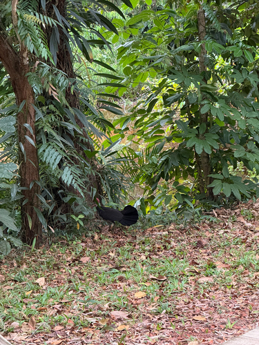
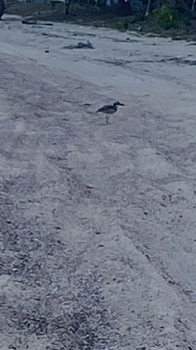
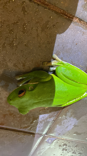
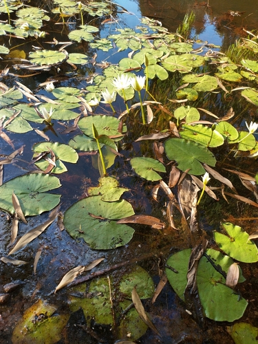
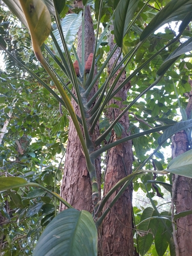
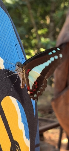
Research-grade observations from iNaturalist (within ~15 mi).
Events
Gallery
Geotagged photos within ~6 miles of Bamaga, from Wikimedia Commons contributors.


.jpg)


Photos via Wikimedia Commons — see each image page for license & attribution.
Sources
- • Wikipedia
- • Wikimedia Commons
- • Wikidata
- • Open-Meteo Air Quality (CAMS)
- • USGS Earthquake Catalog (global feed)
- • GBIF (Global Biodiversity Information Facility)
- • iNaturalist
- • Open-Meteo / sunrise-sunset.org
- • Wikipedia Pageviews API
- • Open Library