Browse / Australia / Northern Territory / Barrow Creek
Barrow Creek
Northern Territoryhamlet

Barrow Creek
Demographic figures from Australian Bureau of Statistics. Overview below cites Wikipedia and may reference a different year.
City facts
Overview
Barrow Creek is a very small town, with a current population of 11, in the southern Northern Territory of Australia. It is located on the Stuart Highway, about 280 km north of Alice Springs, about halfway from there to Tennant Creek. The main feature of the town is the roadhouse/hotel. A number of mining companies are currently exploring in the area, although none of the current residents are involved in the mining industry.
Read more on WikipediaHistory & geography
History
The Barrow Creek area is the traditional home of the Kaytetye Aboriginal people. Humans have lived in Australia, and perhaps this area, for at least 40,000 years. Their ownership of this land is recognised through the Aboriginal Land Rights (Northern Territory) Act 1976 on 1 January 2002. With the arrival of Europeans in the latter part of the 19th century, settlers competed with the Kaytetye for land and resources. Cultural misunderstandings on land and property rights resulted in mutual killings. John McDouall Stuart passed through the area in 1860. Stuart named a creek near the current town after John Henry Barrow, a preacher, journalist and politician who was born in England in 1817 and migrated to South Australia in 1853. At the time of first European habitation of the site, he was the Treasurer of South Australia. Barrow Creek was chosen as a site for an Overland Telegraph morse repeater station by John Ross in September 1871. The station was officially opened on 16 August 1872 by Charles Todd. For more information see: Barrow Creek Telegraph Station. In 1873, 5,000 sheep were overlanded from Adelaide by Alfred Giles for distribution to telegraph stations along the line. During 1877 and 1878, Alfred and Arthur Giles overlanded stock for W. J. Browne to the Katherine River. On the 1878 journey Frank Withall, a young Englishman, was included on the suggestion of Browne to gather some colonial experience. Alfred Giles later started Springvale, Delamere and the Newcastle Waters runs. During World War II, Barrow Creek was used by the Australian Army as a staging camp for convoys of troops and supplies, which was known as No. 5 Australian Personnel Staging Camp. It was the first overnight stop on the northern trip from Alice Springs to Birdum. Barrow Creek has…
Excerpted from the corresponding Wikipedia article (CC BY-SA).
Geography
Coordinates & boundaries from the US Census TIGER/Line shapefiles.
Climate
Air quality
Walkability
Amenities nearby
Wildlife & biodiversity
Most-observed species
- BudgerigarMelopsittacus undulatus (Shaw, 1805) · Aves26
- Crested PigeonOcyphaps lophotes (Temminck, 1822) · Aves25
- Magpie-larkGrallina cyanoleuca (Latham, 1802) · Aves24
- Yellow-throated MinerManorina flavigula (Gould, 1840) · Aves24
- Zebra FinchTaeniopygia guttata (Vieillot, 1817) · Aves23
- Diamond DoveGeopelia cuneata (Latham, 1801) · Aves18
- GalahEolophus roseicapilla (Vieillot, 1817) · Aves16
- Singing HoneyeaterGavicalis virescens (Vieillot, 1817) · Aves16
Citizen-science & research observations from the Global Biodiversity Information Facility (GBIF).
Earthquake history
Most recent
- M 4.4 — 2025-12-3193 km S of Tennant Creek, Australia
Events from the USGS Earthquake Catalog (global) (FDSN Event Web Service).
Photos
Sights & places nearby
Notable people from here
Nearby places in Northern Territory
- Tara14.2 mi away
- Ali Curung30.7 mi away · pop. 394
- Wilora36.5 mi away
- Indaringinya49.6 mi away · pop. 100
- Ngkwarlerlanem55.3 mi away · pop. 20
- Iylentye63.6 mi away
- Arlparra70.8 mi away · pop. 90
- Atnwengerrpe71.5 mi away
- Arrawajin80.6 mi away
- Willowra93.1 mi away · pop. 222
- Pine Hill98.1 mi away
- Murtulki98.5 mi away
Geography & sun
Elevation, sunrise/sunset and daylight from Open-Meteo. Solar climatology from NASA POWER.
Nearby airports
Public attention
Pageview totals from the Wikimedia Pageviews API.
Books about this place
Recent natural events nearby
Ground air-quality sensors
Recently spotted species
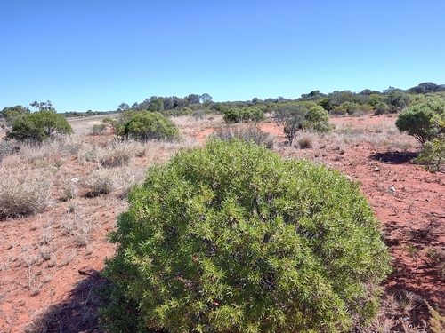
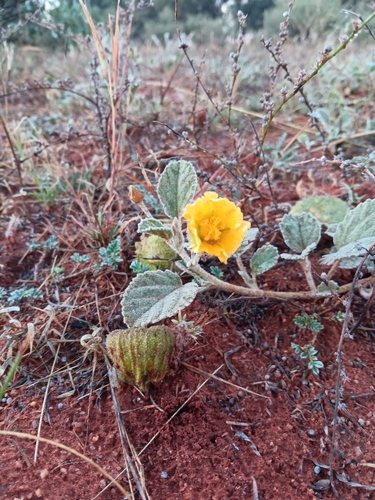
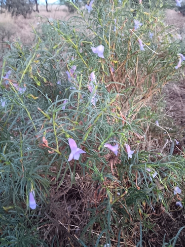
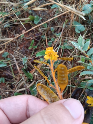
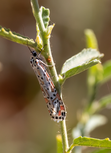
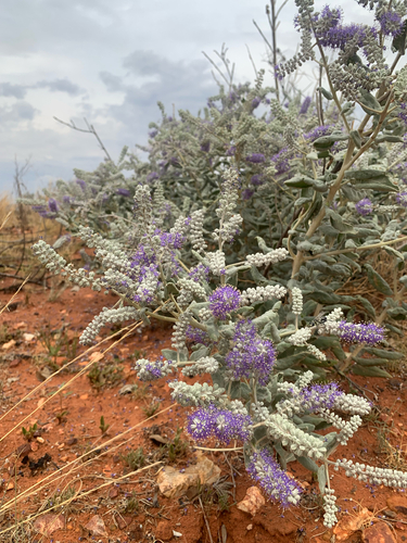
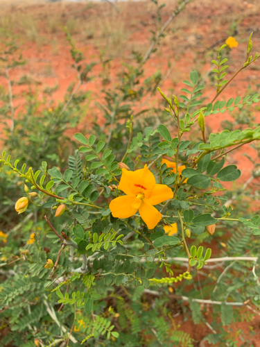
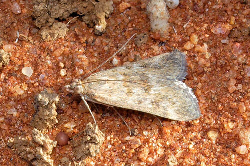
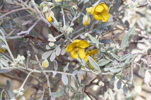
Research-grade observations from iNaturalist (within ~15 mi).
Events
Gallery
Sources
- • Wikipedia
- • Wikidata
- • USGS Earthquake Catalog (global feed)
- • GBIF (Global Biodiversity Information Facility)
- • iNaturalist
- • Open-Meteo / sunrise-sunset.org
- • Wikipedia Pageviews API