Browse / Australia / New South Wales / Batlow
Batlow
New South Walestown

Batlow
Total population
1,313
Demographic figures from Australian Bureau of Statistics. Overview below cites Wikipedia and may reference a different year.
City facts
Facts from Wikidata (CC0).
Overview
Batlow is a town in the South West Slopes region of New South Wales, Australia, on the edge of the Great Dividing Range, 775 m above sea level.
Read more on WikipediaHistory & geography
History
Before European settlement the Wiradjuri people lived in the Batlow area. Hamilton Hume and William Hovell were the first Europeans to explore the area in 1824, en route to Port Phillip. When gold was discovered in the area in 1854, a small settlement called Reedy Creek was established as a supply point and service centre for the mining area, and a Mr Batlow surveyed a townsite nearby. The gold deposits were quickly exhausted, but farmers found the area better suited to a variety of crops, so the mining supply point was moved and the current township established around 1855. Reedy Flat Post Office opened on 1 August 1873 and was renamed Batlow in 1889. Fruit trees and timber quickly became the main sources of income for the town, and in 1910 the townsite was gazetted. In 1922, the first cool stores in New South Wales were constructed in the town. At the same time a railway was built from nearby Tumut. These developments facilitated the town's trade with Sydney and beyond. The district supplied troops with dehydrated fruit and vegetables during World War II. Many Land Army Girls were stationed in and around Batlow during the Second World War and a sizeable collection of memorabilia is held at the Historical Society Museum. There are two Soldier Settlements close to Batlow, Willigobung and Kunama. On 4 January 2020 the town was damaged by fire during the 2019–20 Australian bushfire season. In the town itself at least 17 homes were destroyed, as well as the old hospital and service station. Outlying properties were also affected with hundreds of apple trees "scorched".
Excerpted from the corresponding Wikipedia article (CC BY-SA).
Geography
Coordinates & boundaries from the US Census TIGER/Line shapefiles.
Climate
Air quality
Walkability
Amenities nearby
Wildlife & biodiversity
Most-observed species
- Superb FairywrenMalurus cyaneus (Ellis, 1782) · Aves187
- eastern grey kangarooMacropus giganteus Shaw, 1790 · Mammalia166
- Australian MagpieGymnorhina tibicen (Latham, 1802) · Aves149
- Gray FantailRhipidura albiscapa Gould, 1840 · Aves138
- Yellow-faced HoneyeaterCaligavis chrysops (Latham, 1801) · Aves132
- Crimson RosellaPlatycercus elegans (Gmelin, 1788) · Aves126
- Bogong mothAgrotis infusa Boisduval, 1835 · Insecta125
- White-throated TreecreeperCormobates leucophaea (Latham, 1802) · Aves98
Citizen-science & research observations from the Global Biodiversity Information Facility (GBIF).
Earthquake history
Most recent
- M 2.8 — 2019-09-2521 km WNW of Cooma, Australia
- M 3.7 — 2012-04-1936 km ENE of Tumut, Australia
- M 2.6 — 2007-04-2935 km W of Yass, Australia
- M 2.9 — 2005-01-0235 km W of Duffy, Australia
- M 3.9 — 2004-02-2816 km SSE of Junee, Australia
- M 3 — 2003-05-178 km NW of Kosciuszko National Park, Australia
Events from the USGS Earthquake Catalog (global) (FDSN Event Web Service).
Photos
Sights & places nearby
Notable people from here
People born within ~10 km, from Wikidata (CC0). Click any name for their Wikipedia article.
Nearby places in New South Wales
Geography & sun
Elevation, sunrise/sunset and daylight from Open-Meteo. Solar climatology from NASA POWER.
Nearby airports
Public attention
Pageview totals from the Wikimedia Pageviews API.
Books about this place
Recent natural events nearby
Ground air-quality sensors
Recently spotted species
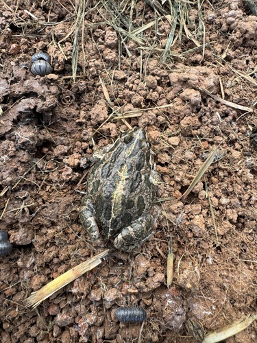
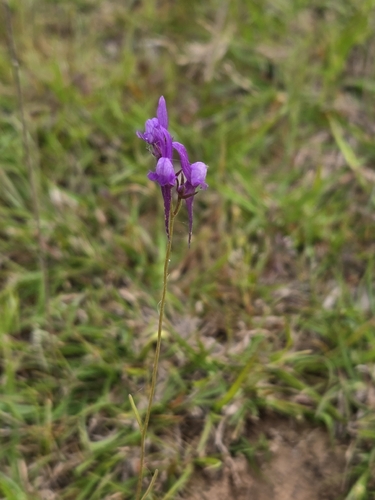
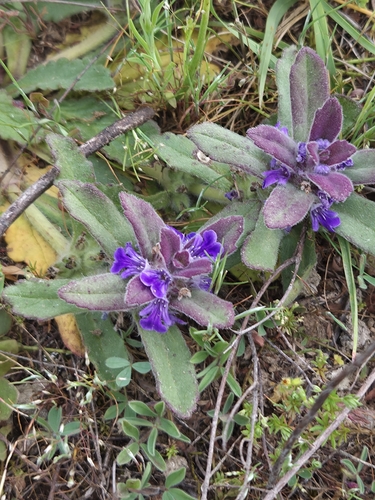
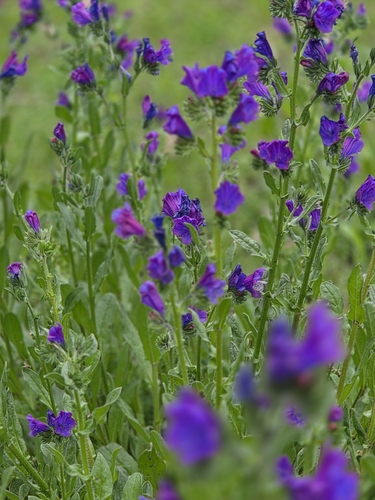
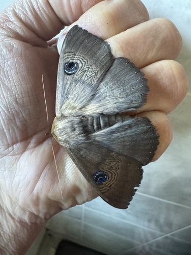
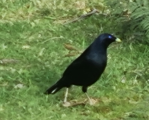
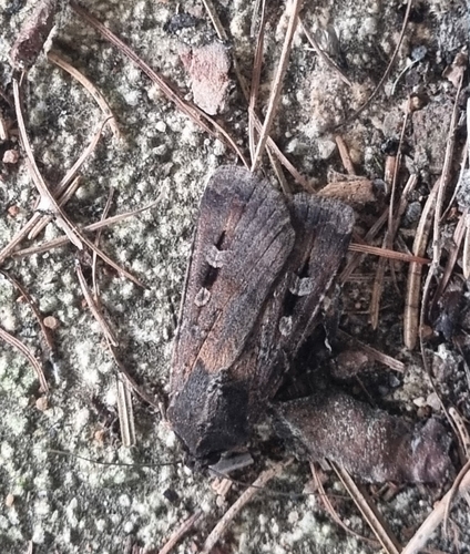
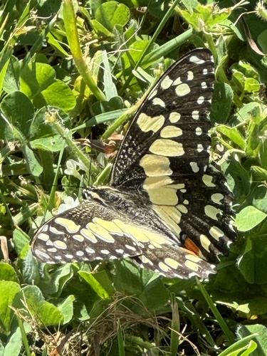
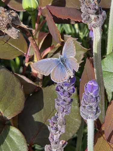
Research-grade observations from iNaturalist (within ~15 mi).
Events
Gallery
Sources
- • Wikipedia
- • Wikidata
- • USGS Earthquake Catalog (global feed)
- • GBIF (Global Biodiversity Information Facility)
- • iNaturalist
- • Open-Meteo / sunrise-sunset.org
- • Wikipedia Pageviews API