Browse / Australia / Victoria / Bendigo
Bendigo
Victoriacity

Bendigo
Total population
100,649
Founded
1851
Air quality index
Demographic figures from Australian Bureau of Statistics. Overview below cites Wikipedia and may reference a different year.
City facts
Facts from Wikidata (CC0).
Overview
Bendigo, formerly known as Sandhurst, is an Australian city in north-central Victoria. The city is located in the Bendigo Valley near the geographical centre of the state and approximately 150 kilometres (93 mi) north-west of Melbourne, the state capital.
Read more on WikipediaHistory & geography
History
The traditional owners of the Mount Alexander area, traditionally named Leanganook, that includes Greater Bendigo, are the Dja Dja Wurrung (Djaara) people. They exploited the rich local hunting grounds from which they were displaced by the arrival by white settlers, who established the first of a number of vast sheep runs in 1837. The Dja Dja Wurrung peoples experienced two waves of settlement and dispossession: from the south from 1837 and from the north from 1845. The marked decrease in Dja Dja Wurrung population was also due to the arrival of non-indigenous animals; they use their noses to "root up" the nutritious moon-nar tuber (yam daisy); after just a year it was noticed the plant was becoming scarce. Squatters in the area included: Donald Campbell at Bullock Creek in Ravenswood; J. and R. Bakewell to the north of Bendigo; Heap and Grice to the north-west; Archibald McDougall to the west; Joseph Raleigh and James Robinson along the Campaspe River to the south; and Thomas, Jones and William Barnett to the east. The Ravenswood "Mount Alexander North run", occupied from c. 1840 by Donald Campbell, was acquired by brothers Stewart and Robert Gibson in 1848, with Frederick Fenton later replacing one of the Gibson brothers. After the discovery of gold in 1851, Fenton sold provisions to the miners and agisted their horses. Becoming the sole owner of the Ravenswood run in 1857, Fenton built its substantial homestead. Gold was officially discovered on Bendigo Creek at the north-eastern boundary of the Ravenswood run, earlier known as the Mount Alexander North run, in October 1851. The creek is believed to have been named "Bendigo Creek" after a local shepherd and amateur boxer who worked at the Mount Alexander North run, nicknamed (possibly ironically) for the English…
Geography
The city is surrounded by components of the Greater Bendigo National Park, as well as the Bendigo Box-Ironbark Region Important Bird Area, identified as such by BirdLife International because of its importance for swift parrots and other woodland birds. A dozen species of insect-eating bats and the pollinating grey-headed flying fox inhabit the area. Bendigo has a dry temperate climate with warm, variable summers and cool, cloudy winters. Under the Köppen-Geiger classification, it lies on a humid subtropical/cold semi-arid transitional climate zone (Cfa/BSk), due to its location on the boundary of the hot, dry inland areas to the north and the cool, damp Southern Ocean to the south. Bendigo gets 109.9 clear days annually. The mean minimum temperature in January is and the maximum , although temperatures above are commonly reached. There is also a disputed recording of (on 14 January 1862). Summers are also subject to cold weather: on 2 February 2005 the daily maximum did not exceed . The mean minimum temperature in July is and minima below are recorded on an average of 26.1 days annually. The mean maximum temperature in July is . Most of the city's annual rainfall of falls between June and September as cold fronts. Snowfalls are rare; however, sleet occurs and rain commonly falls at temperatures around or less. Frosts are a common occurrence during the winter and spring, though hampered by the frequent cloud cover. A series of great floods occurred in Bendigo in 1859. Substantial flooding also occurred in 1903. Tornadoes have been seen around the area of Bendigo and, although rare, the 2003 Bendigo tornado passed through Eaglehawk and other parts of the city causing major damage to homes and businesses. Bendigo was in severe drought from 2006 to 2010 and,…
Excerpted from the corresponding Wikipedia article (CC BY-SA).
Geography
Coordinates & boundaries from the US Census TIGER/Line shapefiles.
Climate
10-year averages from ERA5 reanalysis (Open-Meteo).
Air quality
Current readings from Open-Meteo Air Quality API (Copernicus CAMS European reanalysis).
Walkability
Amenities nearby
Wildlife & biodiversity
Most-observed species
- Australian MagpieGymnorhina tibicen (Latham, 1802) · Aves4,841
- Red WattlebirdAnthochaera carunculata (Shaw, 1790) · Aves3,881
- GalahEolophus roseicapilla (Vieillot, 1817) · Aves3,724
- Noisy MinerManorina melanocephala (Latham, 1801) · Aves3,557
- Eastern RosellaPlatycercus eximius (Shaw, 1792) · Aves3,443
- Superb FairywrenMalurus cyaneus (Ellis, 1782) · Aves3,342
- Magpie-larkGrallina cyanoleuca (Latham, 1802) · Aves2,883
- Little RavenCorvus mellori Mathews, 1912 · Aves2,731
Citizen-science & research observations from the Global Biodiversity Information Facility (GBIF).
Earthquake history
Most recent
- M 3 — 2018-07-2318 km S of Cohuna, Australia
- M 3 — 2010-05-268 km E of Rochester, Australia
- M 2.7 — 2007-12-0938 km SE of Charlton, Australia
- M 2.8 — 2003-02-029 km N of Trentham, Australia
- M 2.5 — 2002-08-0910 km ESE of Kyabram, Australia
- M 3.3 — 2002-01-225 km WNW of Rochester, Australia
Events from the USGS Earthquake Catalog (global) (FDSN Event Web Service).
Photos
Sights & places nearby
Notable people from here


People born within ~10 km, from Wikidata (CC0). Click any name for their Wikipedia article.
Nearby places in Victoria
Geography & sun
Elevation, sunrise/sunset and daylight from Open-Meteo. Solar climatology from NASA POWER.
Nearby airports
Public attention
Pageview totals from the Wikimedia Pageviews API.
Books about Bendigo
Search results from Open Library.
Recent natural events nearby
Ground air-quality sensors
Recently spotted species
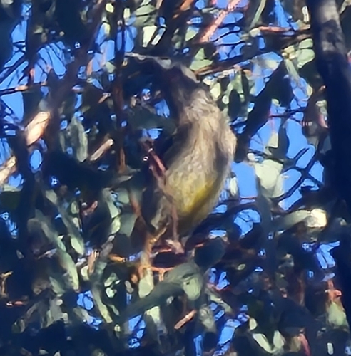
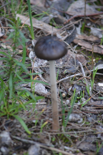
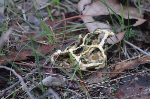
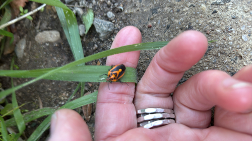
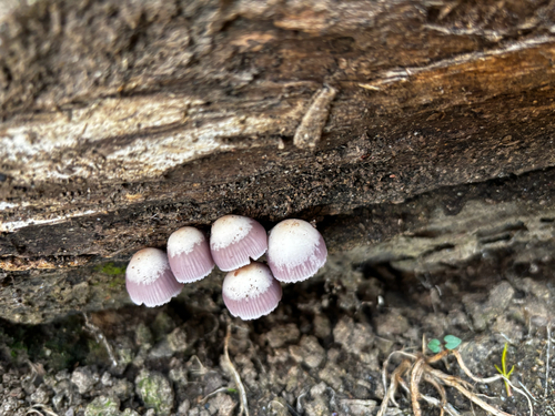
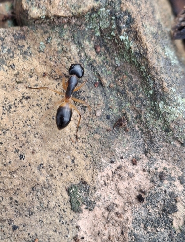
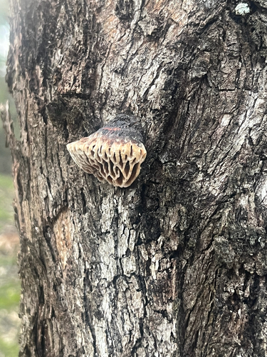
Research-grade observations from iNaturalist (within ~15 mi).
Events
Gallery
Geotagged photos within ~6 miles of Bendigo, from Wikimedia Commons contributors.
 0.1 mi
 0.1 mi
.jpg) 0.1 mi
0.1 mi 0.1 mi
_de_Lacy_Evans,_c,_1879_by_N._White,_(5931919437).jpg) 0.1 mi
0.1 mi 0.2 mi
 0.2 mi
 0.2 mi
 0.2 mi
.jpeg) 0.2 mi
0.2 mi.jpeg) 0.2 mi
0.2 mi.jpeg) 0.2 mi
0.2 mi.jpeg) 0.2 mi
0.2 mi.jpeg) 0.2 mi
0.2 mi.jpeg) 0.2 mi
0.2 mi.jpeg) 0.2 mi
0.2 mi.jpeg) 0.2 mi
0.2 mi.jpeg) 0.2 mi
0.2 mi.jpeg) 0.2 mi
0.2 mi.jpeg) 0.2 mi
0.2 mi.jpeg) 0.2 mi
0.2 mi.jpeg) 0.2 mi
0.2 mi.jpeg) 0.2 mi
0.2 mi.jpeg) 0.2 mi
0.2 miPhotos via Wikimedia Commons — see each image page for license & attribution.
Sources
- • Wikipedia
- • Open-Meteo (ERA5 reanalysis)
- • Wikimedia Commons
- • Wikidata
- • Open-Meteo Air Quality (CAMS)
- • USGS Earthquake Catalog (global feed)
- • GBIF (Global Biodiversity Information Facility)
- • iNaturalist
- • Open-Elevation
- • Open-Meteo / sunrise-sunset.org
- • Wikipedia Pageviews API
- • Open Library