Browse / Australia / Queensland / Bingil Bay
Bingil Bay
Queenslandvillage

Bingil Bay
Total population
438
Demographic figures from Australian Bureau of Statistics. Overview below cites Wikipedia and may reference a different year.
City facts
Overview
Bingil Bay is a coastal town, locality and bay in the Cassowary Coast Region of Queensland, Australia. Bingil Bay, along with North Mission, Wongaling and South Mission, form the coastal township of Mission Beach. In the 2021 census, the locality of Bingil Bay had a population of 438 people.
Read more on WikipediaHistory & geography
History
The name Bingil is believed to be an Aboriginal word meaning a good camping ground given to the area by Frederick Cutten, a pioneer settler in the area. In 1921, an overland connection was created from El Arish (a distance of away) but it was only usable by a dray and the journey took most of the day. On 9 July 1936, the road from El Arish to Bingil Bay was finally completed, reducing the travel time to 30 minutes. It was officially opened by Percy Pease, the Member of the Queensland Legislative Assembly for Herbert. The Bingil Bay Lifesaving Club opened in 1936. Around 1966, then Prime Minister of Australia, Harold Holt and his wife Zara Holt, owned a holiday cottage they called "The Shack" at Bingil Bay. It sat high on the hill with views as far as Dunk Island. The couple were keen spearfishers. The cottage did not have a telephone.
Geography
The locality of Bingil Bay is bounded to the east by the bay of the same name with Ninney Point () on the north-east coast. A long sandy beach extends south from Ninney Point along the coastline. The town is in the south-eastern corner of the locality. The land use is a mixture of residential, growing tropical fruit), and grazing on native vegetation.
Excerpted from the corresponding Wikipedia article (CC BY-SA).
Geography
Coordinates & boundaries from the US Census TIGER/Line shapefiles.
Climate
Air quality
Walkability
Amenities nearby
Wildlife & biodiversity
Most-observed species
- Australasian FigbirdSphecotheres vieilloti Vigors & Horsfield, 1827 · Aves1,096
- Helmeted FriarbirdPhilemon buceroides (Swainson, 1838) · Aves961
- Black ButcherbirdMelloria quoyi (R.P.Lesson & Garnot, 1827) · Aves960
- Masked LapwingVanellus miles (Boddaert, 1783) · Aves941
- Bush Thick-kneeBurhinus grallarius (Latham, 1801) · Aves923
- Rainbow LorikeetTrichoglossus haematodus (Linnaeus, 1771) · Aves882
- Metallic StarlingAplonis metallica (Temminck, 1824) · Aves763
- Torresian Imperial-PigeonDucula spilorrhoa (G.R.Gray, 1858) · Aves754
Citizen-science & research observations from the Global Biodiversity Information Facility (GBIF).
Earthquake history
Most recent
- M 3.6 — 2011-03-1530 km NE of Innisfail Estate, Australia
Events from the USGS Earthquake Catalog (global) (FDSN Event Web Service).
Photos
Sights & places nearby
Notable people from here
Geography & sun
Elevation, sunrise/sunset and daylight from Open-Meteo. Solar climatology from NASA POWER.
Nearby airports
Public attention
Pageview totals from the Wikimedia Pageviews API.
Books about this place
Recent natural events nearby
Ground air-quality sensors
Recently spotted species
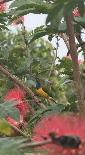
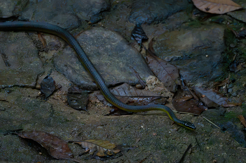
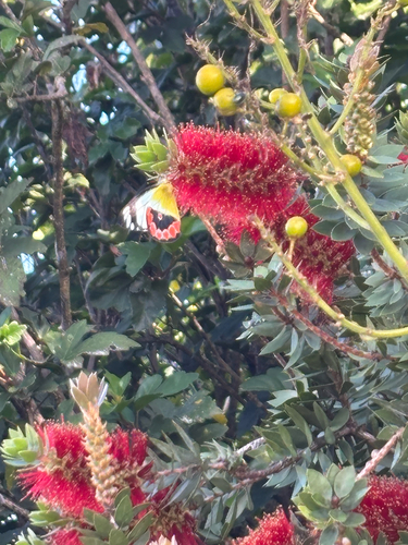
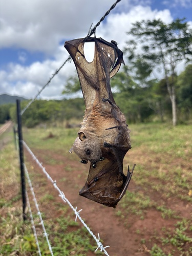
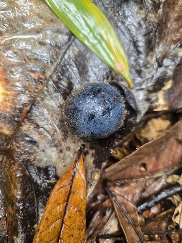
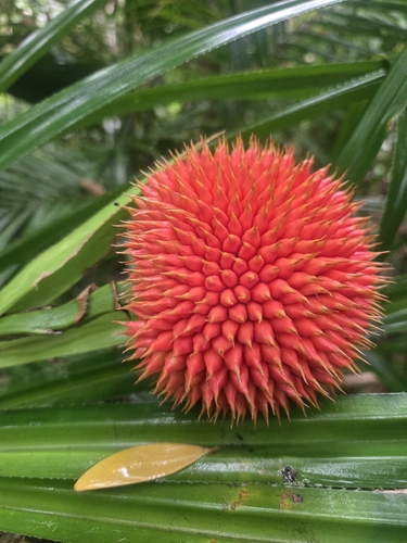
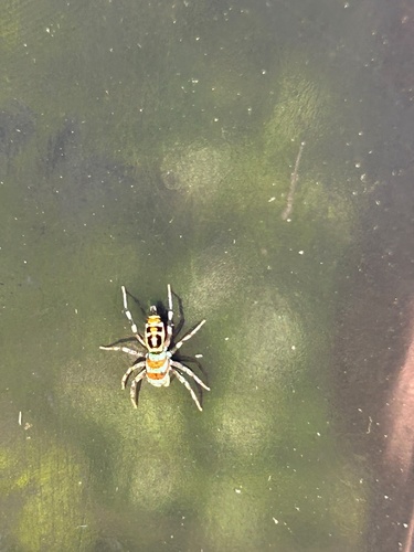
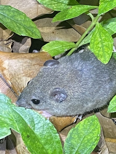
Research-grade observations from iNaturalist (within ~15 mi).
Events
Gallery
Sources
- • Wikipedia
- • Wikidata
- • USGS Earthquake Catalog (global feed)
- • GBIF (Global Biodiversity Information Facility)
- • iNaturalist
- • Open-Meteo / sunrise-sunset.org
- • Wikipedia Pageviews API