Browse / Australia / Western Australia / Boddington
Boddington
Western Australiatown

Boddington
Total population
1,129
Demographic figures from Australian Bureau of Statistics. Overview below cites Wikipedia and may reference a different year.
City facts
Facts from Wikidata (CC0).
Overview
Boddington is a town and shire in the Peel region of Western Australia, located 120 kilometres (75 mi) south-east of Perth. The town sits on the road from Pinjarra to Williams on the Hotham River. The population of the town was 1,844 at the 2016 Census.
Read more on WikipediaHistory & geography
History
The town owes its name to an early settler, Henry Boddington, who was a farmer and shepherd in the 1860s and 1870s and leased land in the area in 1875, later moving to Wagin. His name became associated with a pool in the Hotham River at which he frequently camped. The original settled locality was called Hotham, west of the town at what is now the end of Farmers Avenue, named for the Farmer family, and a post office and school were established. When the Hotham Valley Railway was being constructed in 1912 to meet demand created by the local timber industry, a townsite was chosen adjacent to the town, and subsequently gazetted. The town was built in the 1920s, with a school, hospital, council offices, post office, shops and agricultural hall. A railway bridge was built over the upper reaches of the Murray River in 1949, then known as "Asquith Bridge", and was used for carting railway timber to the Banksiadale Sawmill. The area declined slowly over time, and the 1961 Western Australian bushfires devastated the local timber industry. By 1969, the railway had been closed and Boddington became a typical small service area for the surrounding district. However, the establishment of bauxite mining in 1979 to service Western Australia's alumina production at Worsley, Kwinana and Wagerup, and the opening of the Boddington Gold Mine in 1987 created a thriving mining town.
Excerpted from the corresponding Wikipedia article (CC BY-SA).
Geography
Coordinates & boundaries from the US Census TIGER/Line shapefiles.
Climate
Air quality
Walkability
Amenities nearby
Wildlife & biodiversity
Earthquake history
Photos
Sights & places nearby
Notable people from here
Geography & sun
Elevation, sunrise/sunset and daylight from Open-Meteo. Solar climatology from NASA POWER.
Nearby airports
Public attention
Pageview totals from the Wikimedia Pageviews API.
Books about Boddington
Search results from Open Library.
Recent natural events nearby
Ground air-quality sensors
Recently spotted species
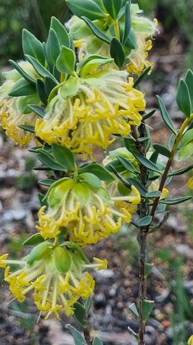
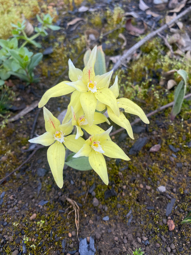
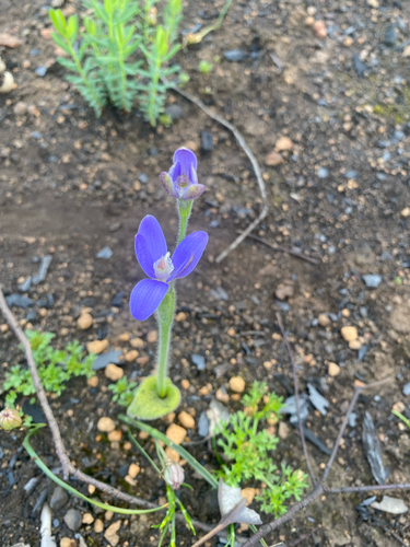
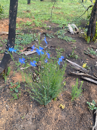
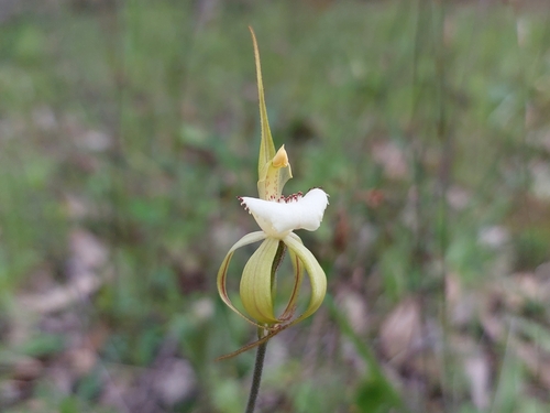
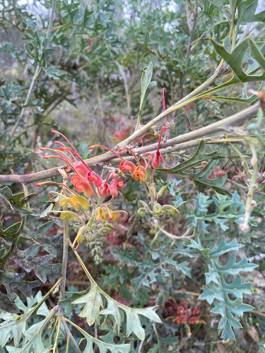
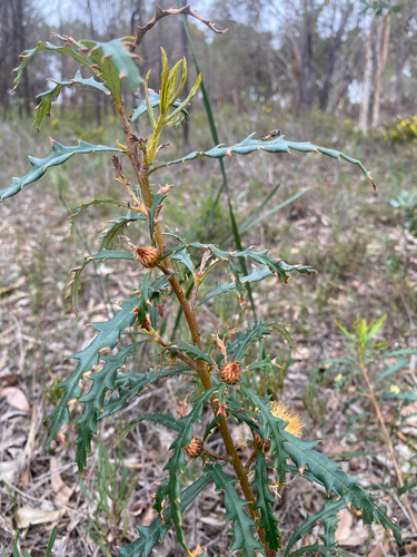
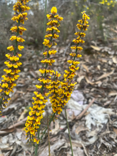
Research-grade observations from iNaturalist (within ~15 mi).
Events
Gallery
Official Identifiers
ABS — Australian Bureau of Statistics
- ASGS 2021
- SAL50137
- Population (Wikidata)
- 1,178
- Wikidata
- Q889385
ASGS 2021 ID via Wikidata P10112
Sources
- • Wikipedia
- • Wikidata
- • iNaturalist
- • Open-Meteo / sunrise-sunset.org
- • Wikipedia Pageviews API
- • Open Library
- • ABS — Australian Bureau of Statistics — ASGS 2021 ID via Wikidata P10112