Browse / Australia / Western Australia / Bridgetown
Bridgetown
Western Australiatown

Bridgetown
Total population
2,300
Demographic figures from Australian Bureau of Statistics. Overview below cites Wikipedia and may reference a different year.
City facts
Overview
Bridgetown is a town in the South West region of Western Australia, approximately 270 kilometres (168 mi) south of Perth on the Blackwood River at the intersection of South Western Highway with Brockman Highway to Nannup and Augusta.
Read more on WikipediaHistory & geography
History
The area was originally known as Geegelup, which was believed to mean "place of gilgies" in the Noongar language, referring to the fresh water lobster that inhabits the area. However recent research suggests the actual meaning of Geegelup may be "place of spears". In 1852, A.C. Gregory made the original survey of the Geegelup area and in 1857, Edward Godfrey Hester (now honoured in nearby Hester) and John Blechynden settled there. In 1861, convicts built the road from Donnybrook into the area. In 1864 the Geegelup Post Office was established in a building on Blechynden's property. The townsite was surveyed in April 1868 by Thomas Carey, who proposed the name Bridgetown for two reasons – "as it is at a bridge and the Bridgetown was the first ship to put in at Bunbury for the wool from these districts", and was approved and gazetted on 9 June 1868. From then until about 1885, many buildings including the primary school (1870), post office, new police station (1880) and two hotels were constructed, many of which are still standing today. In 1885, the Bridgetown Agricultural Society was formed and local farmers produced sheep, cattle, dairy products, timber, fruit and nuts. The building boom in Western Australia during the gold boom of the 1890s saw an increased demand for sawn timber, and numerous mills opened in the Bridgetown area. Bridgetown is the seat of the Shire of Bridgetown-Greenbushes and the centre of a productive agricultural district. Many buildings in the town centre are over a century old. The town has a Jigsaw Gallery and Museum, which claims to host the only jigsaw collection of its kind in the Southern Hemisphere, and also a primary school (1870) and high school (1962), district hospital, telecentre, shire offices, roadhouse, agricultural…
Geography
Bridgetown possesses a borderline warm/hot-summer mediterranean climate (Köppen: Csb/Csa) with warm, dry summers and mild, wet winters. Average maxima vary from in January to in July, while average minima fluctuate between in February and in July. Annual precipitation is rather low (averaging ), and is spread across 157.9 precipitation days. The town experiences 83.9 clear days and 134.2 cloudy days annually. Extreme temperatures have ranged from on 8 February 1933 to on 17 June 2006.
Excerpted from the corresponding Wikipedia article (CC BY-SA).
Geography
Coordinates & boundaries from the US Census TIGER/Line shapefiles.
Climate
Air quality
Walkability
Amenities nearby
Wildlife & biodiversity
Earthquake history
Photos
Sights & places nearby
Notable people from here


People born within ~10 km, from Wikidata (CC0). Click any name for their Wikipedia article.
Nearby places in Western Australia
- Balingup14.8 mi away · pop. 280
- Boyup Brook16.7 mi away · pop. 540
- Boyanup40.3 mi away · pop. 878
- Dardanup44.4 mi away · pop. 545
- Brunswick Junction51.4 mi away · pop. 807
- Augusta61.1 mi away · pop. 1,211
- Binningup61.4 mi away · pop. 1,271
- Prevelly65.5 mi away · pop. 192
- Yallingup67.5 mi away · pop. 1,029
- Cookernup67.9 mi away · pop. 435
- Yarloop70.6 mi away · pop. 357
- Williams77 mi away · pop. 424
Geography & sun
Elevation, sunrise/sunset and daylight from Open-Meteo. Solar climatology from NASA POWER.
Nearby airports
Public attention
Pageview totals from the Wikimedia Pageviews API.
Books about Bridgetown


Search results from Open Library.
Recent natural events nearby
Ground air-quality sensors
Recently spotted species
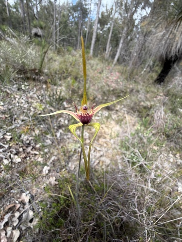
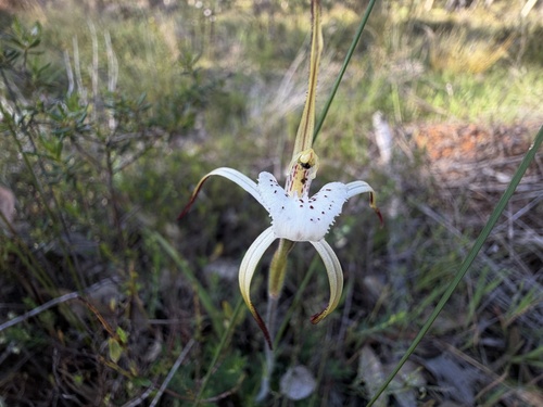
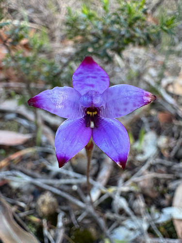
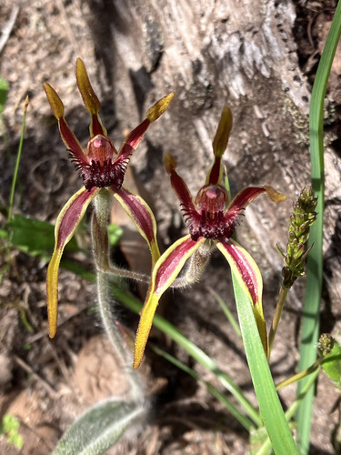
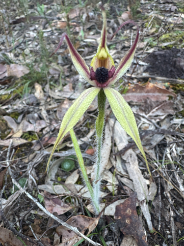
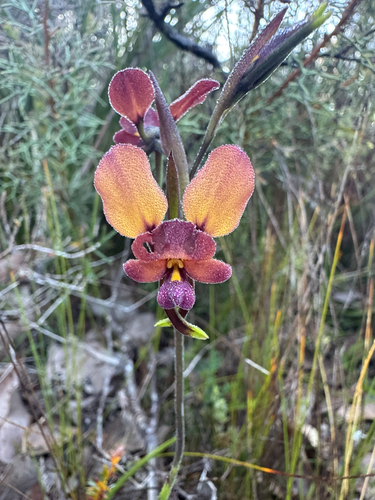
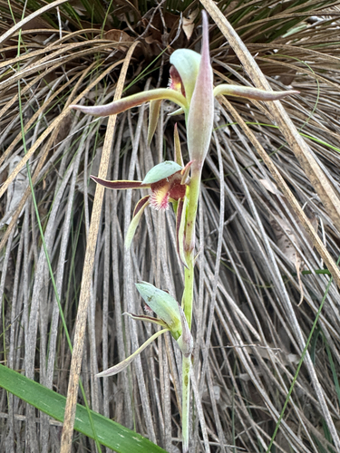
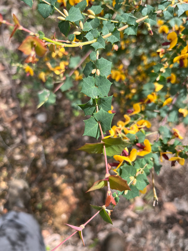
Research-grade observations from iNaturalist (within ~15 mi).
Events
Gallery
Sources
- • Wikipedia
- • Wikidata
- • iNaturalist
- • Open-Meteo / sunrise-sunset.org
- • Wikipedia Pageviews API
- • Open Library