Browse / Australia / Victoria / Bright
Bright
Victoriatown

Bright
Total population
2,481
Air quality index
Demographic figures from Australian Bureau of Statistics. Overview below cites Wikipedia and may reference a different year.
City facts
Facts from Wikidata (CC0).
Overview
Bright is a town in northeastern Victoria, Australia, 319 metres above sea level at the southeastern end of the Ovens Valley. At the 2021 census, Bright had a population of 2,620. It is located in the Alpine Shire local government area.
Read more on WikipediaHistory & geography
History
Hamilton Hume and William Hovell explored the area in 1824, naming the Ovens River. The town was first known as Morse's Creek after F.H. Morse but in 1861 it was renamed in honour of the British orator and politician John Bright. The Post Office opened on 25 January 1860 as Morse's Creek and was renamed Bright in 1866. During the Victorian gold rush there was a rush to the nearby Buckland River. As the gold deposits gradually diminished, Chinese miners arrived in the area to sift the abandoned claims. Tensions over Chinese success from Anglo-Irish miners caused the violent Buckland Riot in nearby Porepunkah in 1857, resulting in deaths of Chinese miners and the fleeing of 2,000 Chinese. The riot was eventually quelled by the Beechworth police under the command of Robert O'Hara Burke from 80 kilometres away. Two years later, Bright itself was home to what became known as the Morses Creek Riots in which a Chinese miner was bludgeoned to death beside the river. Bright has a rich cultural heritage and many locations within the town along with street names can be traced to present day residents. The Bright Historical Society has extensive records of the region's past. The Bright Magistrates' Court closed on 1 January 1990.
Excerpted from the corresponding Wikipedia article (CC BY-SA).
Geography
Coordinates & boundaries from the US Census TIGER/Line shapefiles.
Climate
10-year averages from ERA5 reanalysis (Open-Meteo).
Air quality
Current readings from Open-Meteo Air Quality API (Copernicus CAMS European reanalysis).
Walkability
Amenities nearby
Wildlife & biodiversity
Earthquake history
Most recent
- M 3.9 — 2024-08-0634 km SSW of Mount Buller, Australia
- M 4.4 — 2023-06-2934 km SSW of Mount Buller, Australia
- M 3.2 — 2013-06-2224 km SE of Benalla, Australia
- M 2.8 — 2010-01-0839 km N of Briagolong, Australia
- M 2.6 — 2007-06-1012 km SE of Myrtleford, Australia
- M 2.9 — 2006-02-2814 km WNW of Falls Creek, Australia
Events from the USGS Earthquake Catalog (global) (FDSN Event Web Service).
Photos
Sights & places nearby
Notable people from here
Nearby places in Victoria
- Wandiligong3.1 mi away · pop. 362
- Porepunkah3.3 mi away · pop. 771
- Smoko8 mi away
- Harrietville12.7 mi away · pop. 354
- Ovens14.5 mi away
- Merriang19.5 mi away
- Falls Creek20.1 mi away · pop. 321
- Eskdale24.4 mi away · pop. 84
- Stanley25.1 mi away
- Dinner Plain25.5 mi away · pop. 127
- Yackandandah29.4 mi away · pop. 1,113
- Cheshunt29.7 mi away
Geography & sun
Elevation, sunrise/sunset and daylight from Open-Meteo. Solar climatology from NASA POWER.
Nearby airports
Public attention
Pageview totals from the Wikimedia Pageviews API.
Books about this place
Recent natural events nearby
Ground air-quality sensors
Recently spotted species
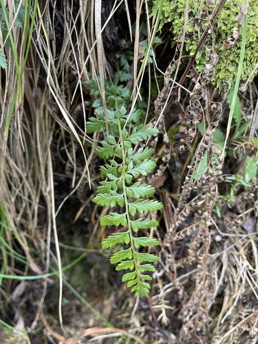
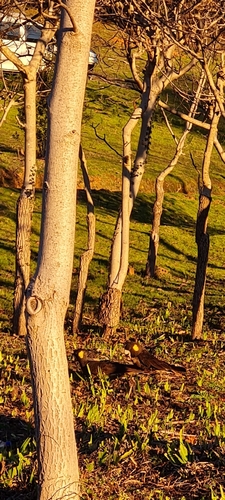
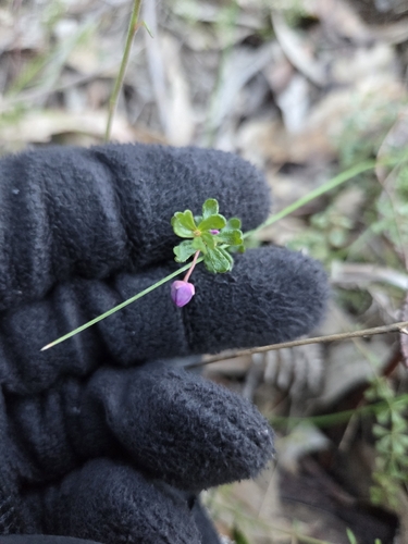
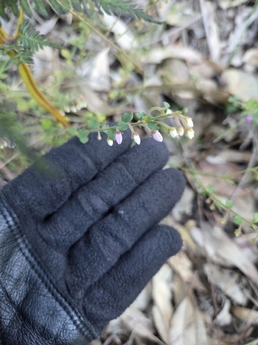
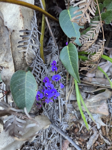
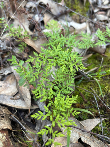
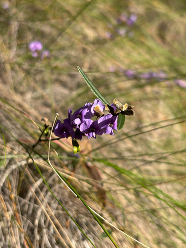
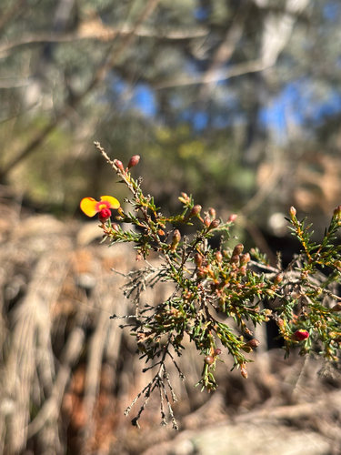
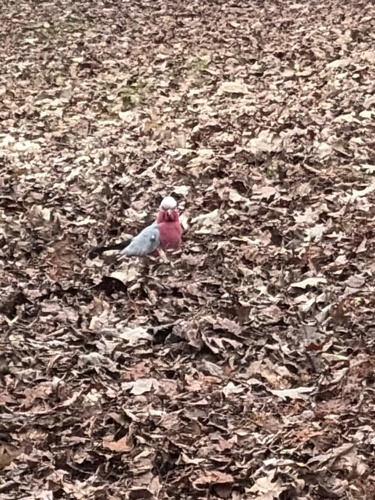
Research-grade observations from iNaturalist (within ~15 mi).
Events
Gallery
Sources
- • Wikipedia
- • Open-Meteo (ERA5 reanalysis)
- • Wikidata
- • Open-Meteo Air Quality (CAMS)
- • USGS Earthquake Catalog (global feed)
- • iNaturalist
- • Open-Meteo / sunrise-sunset.org
- • Wikipedia Pageviews API