Browse / Australia / Western Australia / Broad Arrow
Broad Arrow
Western Australiahamlet
Demographic figures from Australian Bureau of Statistics. Overview below cites Wikipedia and may reference a different year.
City facts
Overview
Broad Arrow is a ghost town in Western Australia, located 38 km north of Kalgoorlie and 633 km east of Perth. It is on the Kalgoorlie to Leonora Road.
Read more on WikipediaHistory & geography
History
Initially called Kurawah, this was where gold was first discovered in 1893, triggering a gold rush in the region north of Kalgoorlie. The Broad Arrow Goldfield was gazetted on 11 November 1896, and in 1897 the municipality of Kurawah was declared. The town derives its name from the markers, in the shape of a broad arrow, left on the ground by a miner, Reison, who left them to direct his friends who were following him to a gold discovery he had made. His mine was also named Broad Arrow. Extensions to the Eastern Goldfields Railway, the line from Kalgoorlie to Menzies was begun in August 1897, and reached Broad Arrow on 6 November the same year. The railway station included a passenger platform. At its peak the town had 15,000 residents, eight hotels and two breweries as well as a stock exchange. Other facilities included a hospital, three churches, Salvation Army Hall, a chemist, two banks, police station with resident magistrate, a mining registrar, a post office, a cordial factory, six grocery stores and two draperies, and blacksmith and bakers' shops. The town was the administrative centre for smaller settlements in the area including Ora Banda, Smithfield, Black Flat, White Flag and Grant's Patch. It had its own newspaper, The Broad Arrow Standard, from 1896 to 1899. A dam was built for the Public Works Department in Broad Arrow in 1897. The population of the town was 337 (218 males and 119 females) in 1898. By the 1920s the gold had run out and the town had been abandoned. The movie Nickel Queen was filmed here in 1971, using the town's remaining hotel, the Broad Arrow Tavern. The Tavern remains open for travellers today and is noted for having almost every wall covered with handwritten notes from past visitors. In recent years the area has had…
Excerpted from the corresponding Wikipedia article (CC BY-SA).
Geography
Coordinates & boundaries from the US Census TIGER/Line shapefiles.
Climate
Air quality
Walkability
Amenities nearby
Wildlife & biodiversity
Earthquake history
Photos
Sights & places nearby
Notable people from here
Nearby places in Western Australia
- Coolgardie36.2 mi away · pop. 763
- Menzies55.2 mi away · pop. 93
- Leonora108 mi away · pop. 567
- Tamoola Mine116.6 mi away
- Southern Cross130.4 mi away · pop. 523
- Laverton141.4 mi away · pop. 407
- Moorine Rock143.6 mi away · pop. 70
- Leinster179.2 mi away · pop. 395
- Mukinbudin188.4 mi away · pop. 284
- Hyden200.6 mi away · pop. 377
- Narembeen206.1 mi away · pop. 423
- Mount Keith Village223.7 mi away
Geography & sun
Elevation, sunrise/sunset and daylight from Open-Meteo. Solar climatology from NASA POWER.
Nearby airports
Public attention
Pageview totals from the Wikimedia Pageviews API.
Books about Broad Arrow
Search results from Open Library.
Recent natural events nearby
Ground air-quality sensors
Recently spotted species
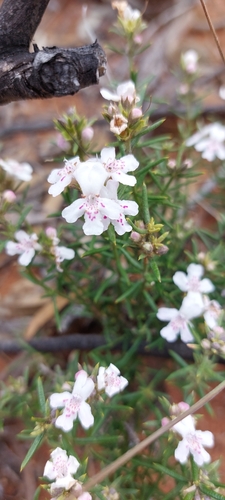
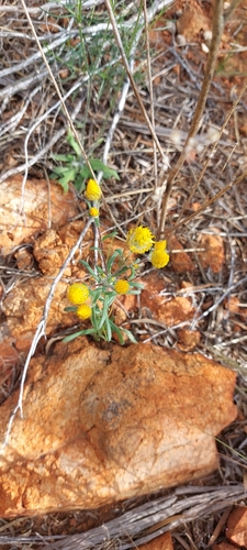
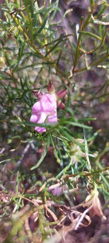
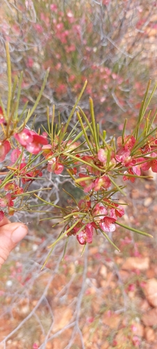
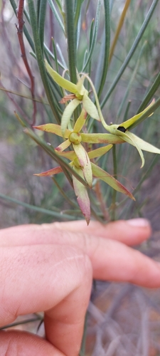
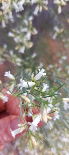
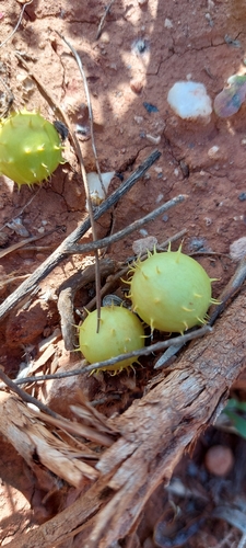
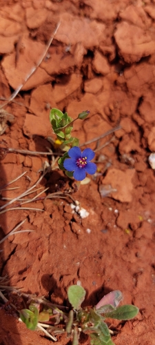
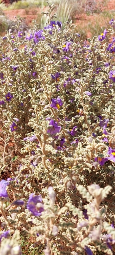
Research-grade observations from iNaturalist (within ~15 mi).
Events
Gallery
Sources
- • Wikipedia
- • Wikidata
- • iNaturalist
- • Open-Meteo / sunrise-sunset.org
- • Wikipedia Pageviews API
- • Open Library