Browse / Australia / Victoria / Buchan
Buchan
Victoriavillage
Total population
115
Demographic figures from Australian Bureau of Statistics. Overview below cites Wikipedia and may reference a different year.
City facts
Overview
Buchan is a town in the East Gippsland region of Victoria, Australia. The town is situated adjacent to the Buchan River, in the Shire of East Gippsland, upstream from the river's junction with the Snowy River. At the 2011 census, Buchan and the surrounding area had a population of 385. The town is most well known for the limestone Buchan Caves.
Read more on WikipediaHistory & geography
History
European settlement first entered the area in October 1838 and Buchan station was established in January 1839. Free selection after 1868, and a township was proclaimed in 1873 taking its name from the station. The Buchan Post Office opened around October 1878 and at Buchan South in 1901 (closed 1980). It is thought that the name Buchan was taken from an Aboriginal word Bukkan-mungie to which various meanings have been ascribed, one interpretation of its meaning is place of grass bag and another is a 'place of rocks with holes in them'; however, it is more likely to be named after Buchan, Scotland, given how many of Australia's locations are named after places in the United Kingdom. Farming included cattle, sheep and crops. Wheat, oats, barley, maize, hops, arrowroot and beans were grown on the river flats at various times. Dairying operations, initially for local consumption, commenced prior to the turn of the century. This expanded into several cheese factories and a butter factory which operated for many years. Sheep and cattle grazing increased as settlement spread and cattle sales began in Buchan in 1901. The township grew as closer settlement of the farming land meant more demand for services. A number of mines were opened as early as 1869 including silver, gold and lead. Some of the bigger mines were profitable but most were short-lived. Some commercial quarries operated in the early 1900s and marble from the quarries was used to build the Shrine and State Library in Melbourne and buildings in London and throughout the state. From the 1950s a quarry also produced crushed lime for agriculture, paper manufacture and other uses. Wattle bark stripping was an important industry and small spot mills worked in the surrounding bush. Following World War 2, two large…
Excerpted from the corresponding Wikipedia article (CC BY-SA).
Geography
Coordinates & boundaries from the US Census TIGER/Line shapefiles.
Climate
Air quality
Walkability
Amenities nearby
Wildlife & biodiversity
Most-observed species
- sambarRusa unicolor (Kerr, 1792) · Mammalia1,248
- swamp wallabyWallabia bicolor (Desmarest, 1804) · Mammalia145
- Australian MagpieGymnorhina tibicen (Latham, 1802) · Aves144
- Gray FantailRhipidura albiscapa Gould, 1840 · Aves141
- Superb FairywrenMalurus cyaneus (Ellis, 1782) · Aves140
- Superb LyrebirdMenura novaehollandiae Latham, 1802 · Aves138
- Laughing KookaburraDacelo novaeguineae (Hermann, 1783) · Aves121
- Gray ShrikethrushColluricincla harmonica (Latham, 1802) · Aves106
Citizen-science & research observations from the Global Biodiversity Information Facility (GBIF).
Earthquake history
Most recent
- M 3 — 2003-09-2653 km SSE of Corryong, Australia
- M 3.2 — 2003-07-0728 km SSE of Lakes Entrance, Australia
Events from the USGS Earthquake Catalog (global) (FDSN Event Web Service).
Photos
Sights & places nearby
Notable people from here
Geography & sun
Elevation, sunrise/sunset and daylight from Open-Meteo. Solar climatology from NASA POWER.
Nearby airports
Public attention
Pageview totals from the Wikimedia Pageviews API.
Books about Buchan
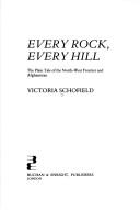
Search results from Open Library.
Recent natural events nearby
Ground air-quality sensors
Recently spotted species
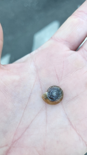
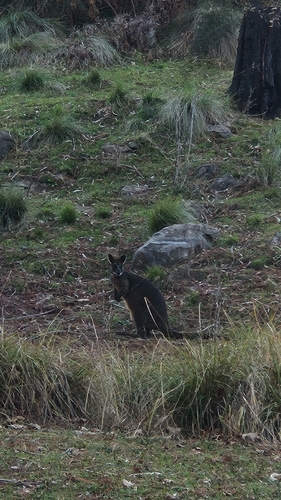
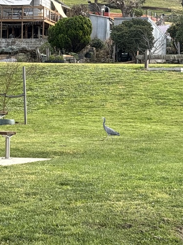
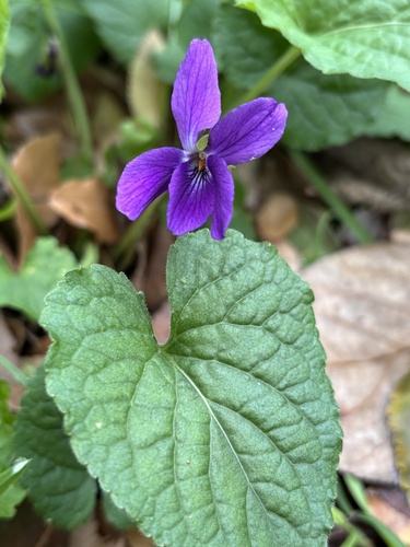
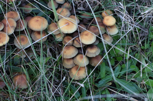
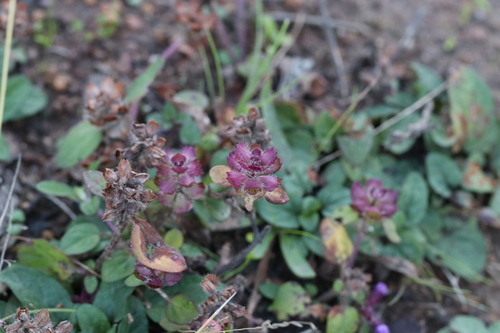
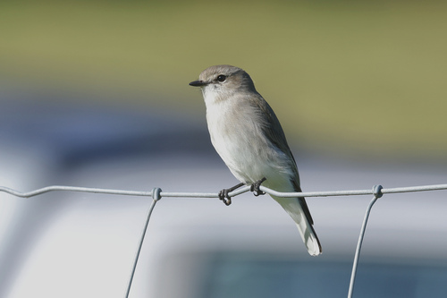
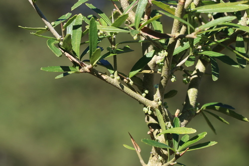
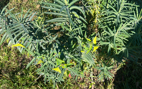
Research-grade observations from iNaturalist (within ~15 mi).
Events
Gallery
Geotagged photos within ~6 miles of Buchan, from Wikimedia Commons contributors.


_-_(9780956241).jpg)


Photos via Wikimedia Commons — see each image page for license & attribution.
Official Identifiers
ABS — Australian Bureau of Statistics
- ASGS 2021
- SAL20366
- Population (Wikidata)
- 236
- Wikidata
- Q4982529
ASGS 2021 ID via Wikidata P10112
Sources
- • Wikipedia
- • Wikimedia Commons
- • USGS Earthquake Catalog (global feed)
- • GBIF (Global Biodiversity Information Facility)
- • iNaturalist
- • Open-Meteo / sunrise-sunset.org
- • Wikipedia Pageviews API
- • Open Library
- • ABS — Australian Bureau of Statistics — ASGS 2021 ID via Wikidata P10112