Browse / Australia / Queensland / Burnett Heads
Burnett Heads
Queenslandtown

Burnett Heads
Total population
2,908
Air quality index
Demographic figures from Australian Bureau of Statistics. Overview below cites Wikipedia and may reference a different year.
City facts
Overview
Burnett Heads is a coastal town and locality in the Bundaberg Region, Queensland, Australia. In the 2021 census, the locality of Burnett Heads had a population of 2,908 people.
Read more on WikipediaHistory & geography
History
The Barolin run was leased by Alfred Henry Brown from 1862. This was on a coastal strip of the Barolin Plain which stretched from the southern side of the Burnett River to the northern side of the Elliott River. In February 1883, land surveyed by Charlton and Gardiner, licensed surveyors, in the township of New Bundaberg was offered for sale in the Victoria Hall, Bundaberg. The locality map advertising the sale also shows land in the Barolin Marine Township Estate to be offered for sale on the same day. The same map shows the lighthouse, pilot station and public telegraph office at South Head. New Bundaberg is now Port Bundaberg and the Barolin Marine Township Estate is the current Burnett Heads township. Both townships are part of the current Burnett Heads locality. The Maryborough Chronicle later reported that the New Bundaberg town allotments sold well, recording the buyers and prices paid while the Barolin estate did not sell so well on the day. The auction was conducted three auctioneers: Bryant and Co., John Cameron and W. E. Curtis. In 1883, the Maryborough Barolin Syndicate proposed to build a private tramline and railway station from New Bundaberg to connect with the terminus of the Bundaberg and Burrum railway. In 1884 the New Bundaberg Land, Building, and Investment Co., Limited acquired the rights to the land reserved for that purpose. The tramline did not eventuate. Methodist services were held at the Burnett Heads State School, until the Burnett Heads Methodist Church was opened on Thursday 6 August 1903. It was on the eastern side of Burnett Heads Road halfway down the school hill. In 1967, it was relocated to its present site in Zunker Street. In 1977, the Methodist Church entered into an amalgamation to create the Uniting Church in Australia;…
Geography
The locality of Burnett Heads is on the southern side of the Burnett River at its mouth into the Coral Sea.The river forms the western and northern boundaries, while the ocean forms most of the eastern boundary. The land use is a mixture of residential (mostly with proximity to the coast), industrial (mostly the Port of Bundaberg) and some agricultural use (growing sugarcane). There is a network of cane tramways to transport the harvested sugarcane to the Millaquin sugar mill for processing.
Excerpted from the corresponding Wikipedia article (CC BY-SA).
Geography
Coordinates & boundaries from the US Census TIGER/Line shapefiles.
Climate
Air quality
Current readings from Open-Meteo Air Quality API (Copernicus CAMS European reanalysis).
Walkability
Amenities nearby
Wildlife & biodiversity
Most-observed species
- Australian IbisThreskiornis molucca (Cuvier, 1829) · Aves3,002
- Willie-wagtailRhipidura leucophrys (Latham, 1802) · Aves2,883
- Rainbow LorikeetTrichoglossus haematodus (Linnaeus, 1771) · Aves2,824
- Magpie-larkGrallina cyanoleuca (Latham, 1802) · Aves2,789
- Noisy MinerManorina melanocephala (Latham, 1801) · Aves2,719
- Masked LapwingVanellus miles (Boddaert, 1783) · Aves2,659
- Australian MagpieGymnorhina tibicen (Latham, 1802) · Aves2,658
- Australasian FigbirdSphecotheres vieilloti Vigors & Horsfield, 1827 · Aves2,642
Citizen-science & research observations from the Global Biodiversity Information Facility (GBIF).
Earthquake history
Events from the USGS Earthquake Catalog (global) (FDSN Event Web Service).
Photos
Sights & places nearby
Notable people from here
Nearby places in Queensland
Geography & sun
Elevation, sunrise/sunset and daylight from Open-Meteo. Solar climatology from NASA POWER.
Nearby airports
Public attention
Pageview totals from the Wikimedia Pageviews API.
Books about Burnett Heads
Search results from Open Library.
Recent natural events nearby
Ground air-quality sensors
Recently spotted species
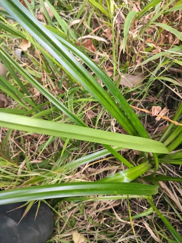
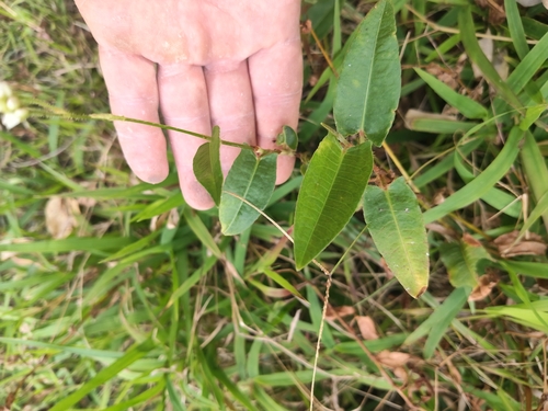
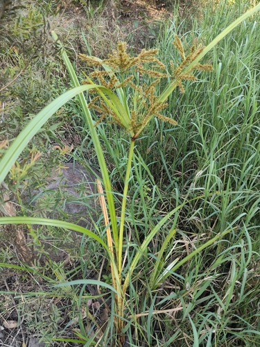
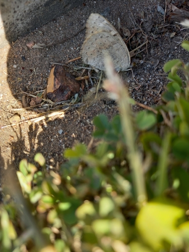
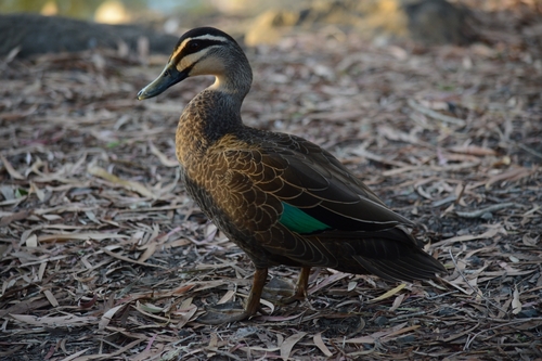
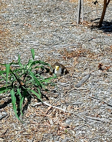
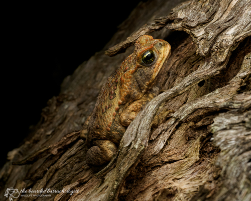
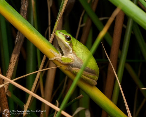
Research-grade observations from iNaturalist (within ~15 mi).
Events
Gallery
Sources
- • Wikipedia
- • Wikidata
- • Open-Meteo Air Quality (CAMS)
- • USGS Earthquake Catalog (global feed)
- • GBIF (Global Biodiversity Information Facility)
- • iNaturalist
- • Open-Meteo / sunrise-sunset.org
- • Wikipedia Pageviews API
- • Open Library