Browse / Australia / Western Australia / Byford
Byford
Western Australiatown

Byford
Demographic figures from Australian Bureau of Statistics. Overview below cites Wikipedia and may reference a different year.
City facts
Facts from Wikidata (CC0).
Overview
Byford is a suburb on the south-eastern edge of Perth, Western Australia, within the Shire of Serpentine-Jarrahdale. The town has its origins in a township that was gazetted under the name "Beenup" in 1906. In 1920, the name of the township was changed to Byford.
Read more on WikipediaHistory & geography
History
Little has been documented of the Aboriginal occupation of the Byford area, but material traces of the district's original inhabitants have been found in numerous locations. During the colonial period, the foothills were on the periphery of Thomas Peel's 1834 land grant, and during the 1840s European settlers took up small land holdings around the area at Wungong and Cardup. By the 1890s, the area was settled by a small number of large landowners, with names of early settlers included Lazenby, Mead, and Liddelow. Mead was an enterprising farmer with numerous landholdings in the foothills between the Serpentine River and the Wongong Brook, and at East Rockingham. Majority of early settlers in Byford lived in poor conditions before they obtained building supplies for houses, and often had large families with up to 13 children. A second major brickworks was set up at Beenup, north of Cardup, in 1913. This industry was a state government initiative aimed at reducing the cost of worker housing. Like the brickworks operating at Cardup and Armadale, this one exploited the shale deposits of the escarpment to produce high quality pressed brick and used the railway to transport the finished product to customers. The State Brickworks at Byford closed down in 1964, due in part to its operations being eclipsed by a new brickworks in Armadale. The Cardup brickworks closed in 2012, but much of the infrastructure is still extant. Shortly after the brickworks had been established at Beenup, local land owner Mr C C Blythe (of Blythewood Park Estate) initiated the planning of another townsite on the eastern side of the rail line - a convenient distance from the brickworks and highway. The new townsite, which is now the most established part of Byford, has a distinctive square plan…
Excerpted from the corresponding Wikipedia article (CC BY-SA).
Geography
Coordinates & boundaries from the US Census TIGER/Line shapefiles.
Climate
Air quality
Walkability
Amenities nearby
Wildlife & biodiversity
Most-observed species
- Australian RavenCorvus coronoides Vigors & Horsfield, 1827 · Aves5,270
- Australian MagpieGymnorhina tibicen (Latham, 1802) · Aves4,737
- Red WattlebirdAnthochaera carunculata (Shaw, 1790) · Aves4,365
- Willie-wagtailRhipidura leucophrys (Latham, 1802) · Aves3,890
- New Holland HoneyeaterPhylidonyris novaehollandiae (Latham, 1790) · Aves3,793
- Rainbow LorikeetTrichoglossus haematodus (Linnaeus, 1771) · Aves3,606
- Gray FantailRhipidura albiscapa Gould, 1840 · Aves3,511
- Pacific Black DuckAnas superciliosa J.F.Gmelin, 1789 · Aves3,441
Citizen-science & research observations from the Global Biodiversity Information Facility (GBIF).
Earthquake history
Most recent
- M 2.8 — 2005-05-065 km NW of Bullsbrook, Australia
- M 2.5 — 2005-04-1510 km SSW of York, Australia
- M 2.7 — 2005-03-1546 km NE of Boddington, Australia
Events from the USGS Earthquake Catalog (global) (FDSN Event Web Service).
Photos
Sights & places nearby
Notable people from here


People born within ~10 km, from Wikidata (CC0). Click any name for their Wikipedia article.
Nearby places in Western Australia
Geography & sun
Elevation, sunrise/sunset and daylight from Open-Meteo. Solar climatology from NASA POWER.
Nearby airports
Public attention
Pageview totals from the Wikimedia Pageviews API.
Books about Byford
Search results from Open Library.
Recent natural events nearby
Ground air-quality sensors
Recently spotted species
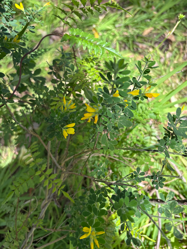
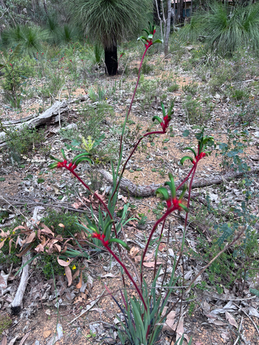
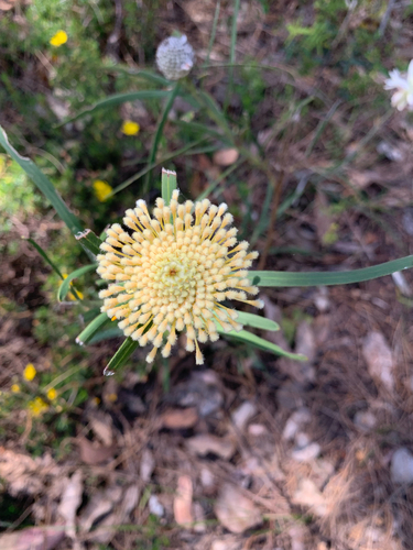
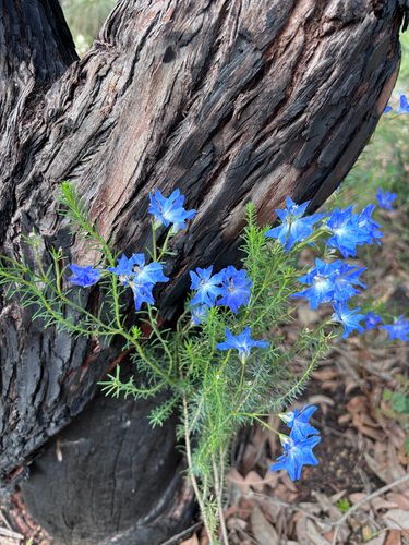
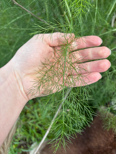
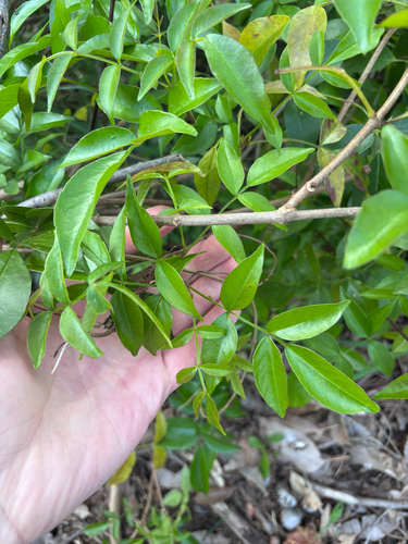
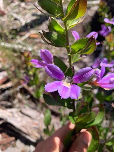
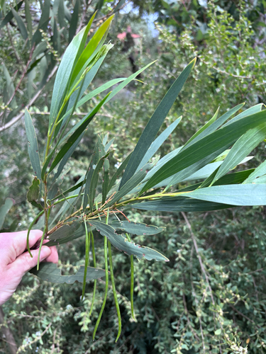
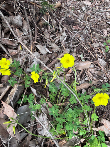
Research-grade observations from iNaturalist (within ~15 mi).
Events
Gallery
Official Identifiers
ABS — Australian Bureau of Statistics
- ASGS 2021
- SAL50230
- Population (Wikidata)
- 14,908
- Wikidata
- Q5004080
ASGS 2021 ID via Wikidata P10112
Sources
- • Wikipedia
- • Wikidata
- • USGS Earthquake Catalog (global feed)
- • GBIF (Global Biodiversity Information Facility)
- • iNaturalist
- • Open-Meteo / sunrise-sunset.org
- • Wikipedia Pageviews API
- • Open Library
- • ABS — Australian Bureau of Statistics — ASGS 2021 ID via Wikidata P10112