Browse / Australia / New South Wales / Byron Shire / Byron Bay
Byron Bay
Byron Shire, New South WalesTown

Byron Bay
Total population
10,914
Median income
$90,896
Air quality index
Demographic figures from Australian Bureau of Statistics. Overview below cites Wikipedia and may reference a different year.
City facts
Facts from Wikidata (CC0).
Overview
Byron Bay is a beachside town located in the far-northeastern corner of New South Wales, Australia. It is located 772 kilometres (480 mi) north of Sydney and 165 kilometres (103 mi) south of Brisbane. Cape Byron, a headland adjacent to the town, is the easternmost point of mainland Australia. At the 2021 census, the town had a permanent population of 6,330. It is the largest town of Byron Shire local government area, though not the shire's administrative centre.
Read more on WikipediaHistory & geography
History
Byron Bay and surrounds are located on traditional lands of the Bundjalung Nation of the Arakwal, Minjungbal and the Widjabul people who have lived by the coast for at least 22,000 years. Traditional custodians of the region believe that the land and people were created by Nguthungulli, who rests at what is now called Julian Rocks. The traditional name of the township area was Cavvanbah, meaning "meeting place". Significant totems for the area include Wajung and Kabul. In 1770 Lieutenant James Cook found safe anchorage and named Cape Byron after a fellow sailor Vice Admiral 'Foul-Weather Jack' John Byron, circumnavigator of the world and grandfather of the poet Lord Byron. European settlement in the area took place in the 1830s. A massacre took place in the 1850s, south of Suffolk Park where the quarry is today. Timber getting became insignificant after World War I. As a result, many former timber workers became farmers. Gold mining of the beaches was the next industry to occur. Gold was discovered in Byron Bay in 1870. Up to 20 mining leases set up on Tallow Beach to extract gold from the black sands around the 1870s. Byron Bay has a history of primary industrial production (dairy factory, abattoirs, fishing, and whaling until 1963) and was a significant, but hazardous, sea port. The poet Brunton Stephens spoke of cattle grazing on the "mossy plains" of Cape Byron in a poem he penned in 1876. The first jetty was built in 1886, and the railway was connected in 1894, and Cavvanbah became Byron Bay in 1894. The introduction of paspalum grass improved production, and Byron Bay exported butter from its depots at Murwillumbah and Lismore to the world. The Cape Byron Lighthouse was built in 1901 at the most easterly point on the Australian mainland. The smell from the…
Excerpted from the corresponding Wikipedia article (CC BY-SA).
Demographics & economy
Source: US Census Bureau — American Community Survey, 5-year estimates.
Geography
Coordinates & boundaries from the US Census TIGER/Line shapefiles.
Climate
Air quality
Current readings from Open-Meteo Air Quality API (Copernicus CAMS European reanalysis).
Walkability
Amenities nearby
Wildlife & biodiversity
Most-observed species
- Lewin's HoneyeaterMeliphaga lewinii (Swainson, 1837) · Aves3,393
- Rainbow LorikeetTrichoglossus haematodus (Linnaeus, 1771) · Aves3,091
- Australian MagpieGymnorhina tibicen (Latham, 1802) · Aves2,975
- Welcome SwallowHirundo neoxena Gould, 1842 · Aves2,885
- Torresian CrowCorvus orru Bonaparte, 1850 · Aves2,795
- Australasian FigbirdSphecotheres vieilloti Vigors & Horsfield, 1827 · Aves2,793
- Willie-wagtailRhipidura leucophrys (Latham, 1802) · Aves2,460
- Pied CurrawongStrepera graculina (Shaw, 1790) · Aves2,416
Citizen-science & research observations from the Global Biodiversity Information Facility (GBIF).
Earthquake history
Events from the USGS Earthquake Catalog (global) (FDSN Event Web Service).
Photos
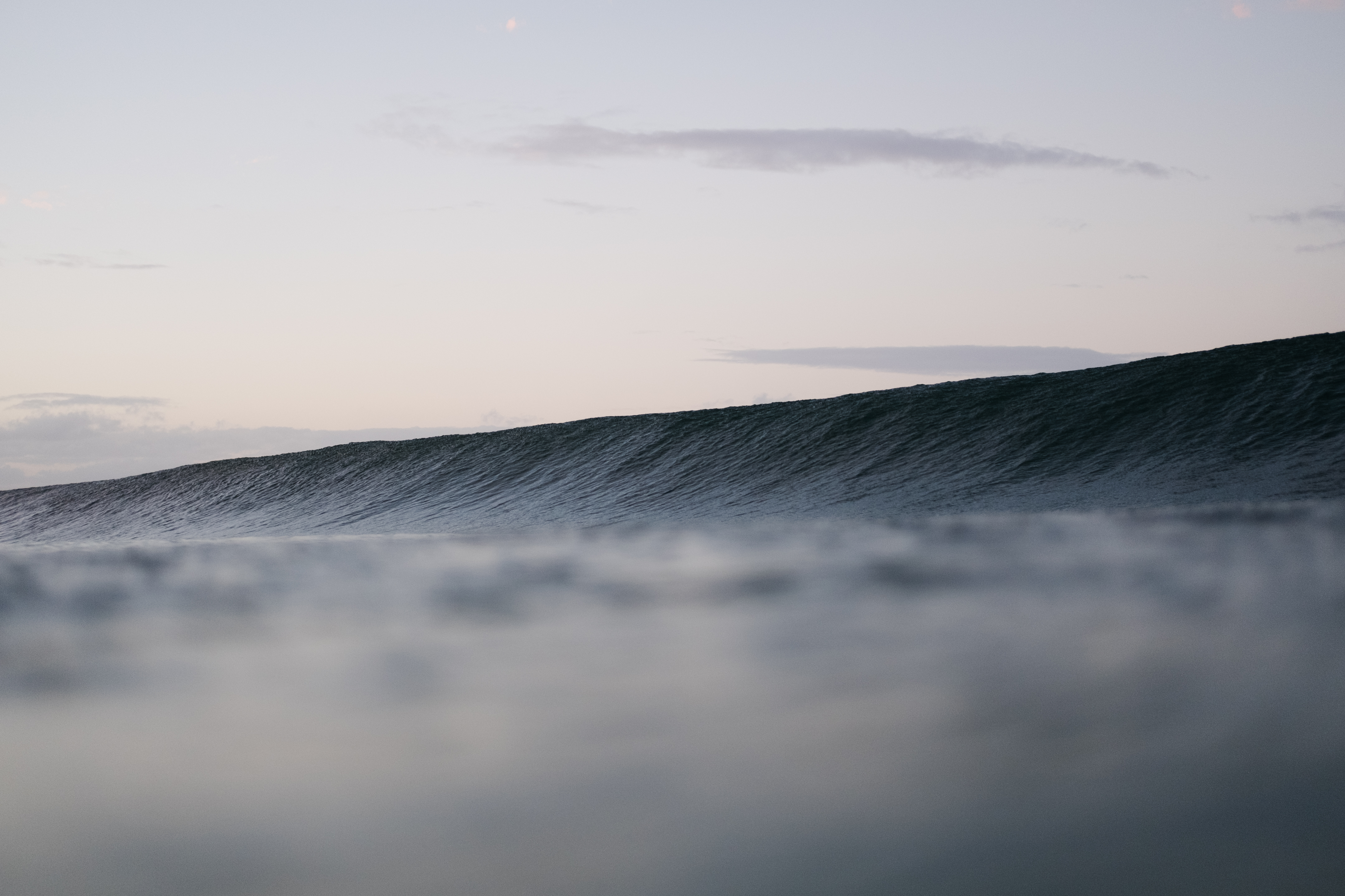
.jpg)
Reflections 1 (Unsplash)
.jpg)
Byron Bay, Australia (Unsplash yDS3sLuSM5c)
.jpg)
Byron Bay, Australia (Unsplash U6KmF4RpgiU)
.jpeg)
Is It Paradise Or Is It (31640459)
.jpeg)
Sunset Over (137127511)

Byron Bay by Kate Branch

Winter sun, Byron Bay - Flickr - d.i.

Katebranch - 8

Power car 661 at Byron Beach station

Hussy Hicks performing at the Byron Theatre in Byron Bay 02

Hussy Hicks performing at the Byron Theatre in Byron Bay 06

Hussy Hicks performing at the Byron Theatre in Byron Bay 07
Geo-tagged photos from Wikimedia Commons (CC-licensed; click any photo for license details).
Sights & places nearby
Notable people from here


People born within ~10 km, from Wikidata (CC0). Click any name for their Wikipedia article.
Nearby places in New South Wales
- Ewingsdale3 mi away · pop. 733
- The Heath5.5 mi away
- Eureka10.2 mi away · pop. 353
- Goonengerry10.2 mi away · pop. 422
- Booyong11.5 mi away · pop. 84
- Durrumbul12.8 mi away
- The Big Fig Tree20.9 mi away
- Mount Burrell25.6 mi away
- Fingal31 mi away
- Browns Rocks53.4 mi away
- Crystal Waters56.1 mi away
- Angourie59.3 mi away · pop. 185
Geography & sun
Elevation, sunrise/sunset and daylight from Open-Meteo. Solar climatology from NASA POWER.
Nearby airports
Public attention
Pageview totals from the Wikimedia Pageviews API.
Books about Byron Bay




Search results from Open Library.
Recent natural events nearby
Ground air-quality sensors
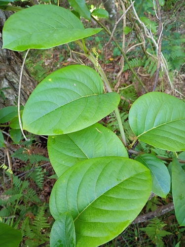
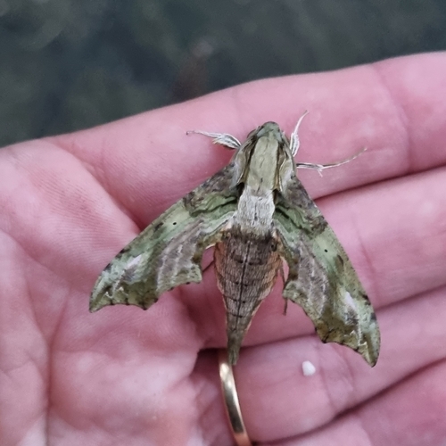
Recently spotted species




Research-grade observations from iNaturalist (within ~15 mi).
Events
Gallery
Geotagged photos within ~6 miles of Byron Bay, from Wikimedia Commons contributors.
0 mi0 mi0 mi.jpg) 0.7 mi
0.7 mi.jpg) 0.7 mi
0.7 mi.jpg) 0.7 mi0.7 mi0.7 mi0.7 mi
0.7 mi0.7 mi0.7 mi0.7 mi.jpeg) 0.7 mi
0.7 mi.jpeg) 0.7 mi
0.7 mi.jpeg) 0.7 mi0.7 mi0.7 mi
0.7 mi0.7 mi0.7 mi 0.7 mi0.7 mi
 0.7 mi0.7 mi
 0.7 mi
 0.7 mi
 0.7 mi0.7 mi0.7 mi
 0.7 mi
Photos via Wikimedia Commons — see each image page for license & attribution.
Sources
- • Wikipedia
- • US Census Bureau (ACS 5-year estimates)
- • Wikimedia Commons
- • Wikidata
- • Open-Meteo Air Quality (CAMS)
- • USGS Earthquake Catalog (global feed)
- • GBIF (Global Biodiversity Information Facility)
- • iNaturalist
- • Open-Elevation
- • Open-Meteo / sunrise-sunset.org
- • Wikipedia Pageviews API
- • Open Library