Browse / Australia / Tasmania / Campbell Town
Campbell Town
Tasmaniatown

Campbell Town
Total population
823
Founded
1821
Demographic figures from Australian Bureau of Statistics. Overview below cites Wikipedia and may reference a different year.
City facts
Facts from Wikidata (CC0).
Overview
Campbell Town is a town in Tasmania, Australia, on the Midland Highway. At the 2021 census, the town had a population of 823.
Read more on WikipediaHistory & geography
History
The traditional custodians of the Campbell Town area were the Tyerrernotepanner (chera-noti-pahner) Clan of the North Midlands Nation. The Tyerrernotepanner were a nomadic people who traversed country from the Central Plateau to the Eastern Tiers but were recorded as inhabiting "resorts" around present day Campbell Town, lagoons near present-day Cleveland and Conara and the southern banks of the South Esk River. The colonial name for this clan was the Stony Creek Tribe, named after a small southern tributary of the South Esk at Llewellyn. The Tyerrernotepanner called the Campbell Town area norerytymonerler or parndokenne. Their name for the hills above Campbell Town ( the Campbell Town Tier) was Lukargener Purntobebenner and the Elizabeth River was parndokennerlyerpinder. The Tyerrernotepanner were formidable opponents of settler colonisation and aggression during the Black War and were recorded as attacking settlers from the Lake River to The South Esk and Tamar River Valleys during the final phase of Aboriginal resistance in the 1820s and 1830s. The Tyerrernotepanner were led by elders such as [http://www.utas.edu.au/telling-places-in-country/historical-context/historical-biographies/memerlannelargenna Memerlannerlargenna] and Eumarrah subjects of fearful reminiscence by settlers after the Black War. The last members of the Tyerrernotepanner were "conciliated" by George Augustus Robinson and, under orders from Governor Arthur, were exiled from their country to die in the squalor of Wybalenna or Oyster Cove. The area of modern Campbell Town would have been known to colonials in Launceston (then Port Dalrymple), as the name of the river passing through was already known as Relief Creek. Lachlan Macquarie renamed it after his wife Elizabeth when passing through in…
Excerpted from the corresponding Wikipedia article (CC BY-SA).
Geography
Coordinates & boundaries from the US Census TIGER/Line shapefiles.
Climate
Air quality
Walkability
Amenities nearby
Wildlife & biodiversity
Earthquake history
Photos
Sights & places nearby
Notable people from here


People born within ~10 km, from Wikidata (CC0). Click any name for their Wikipedia article.
Nearby places in Tasmania
Geography & sun
Elevation, sunrise/sunset and daylight from Open-Meteo. Solar climatology from NASA POWER.
Nearby airports
Public attention
Pageview totals from the Wikimedia Pageviews API.
Books about Campbell Town

Search results from Open Library.
Recent natural events nearby
Ground air-quality sensors
Recently spotted species
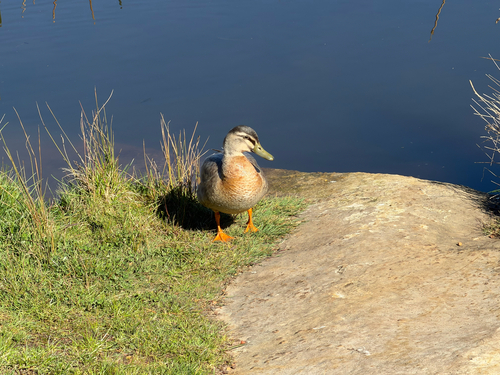
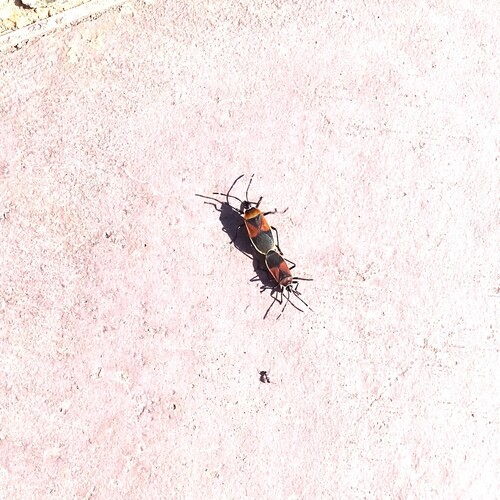
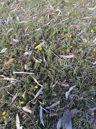
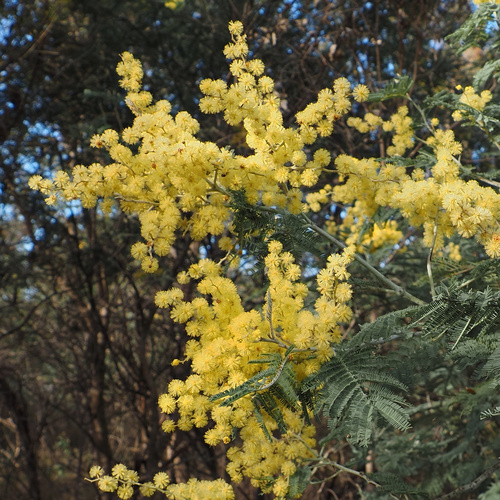
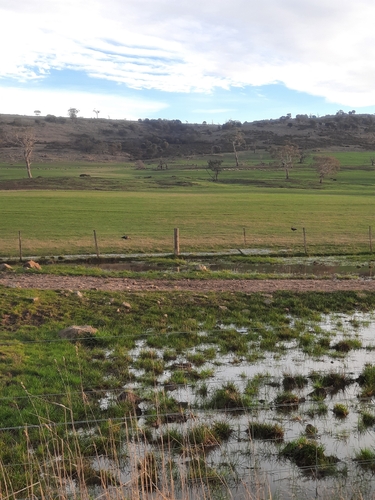
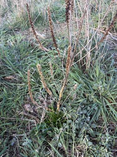
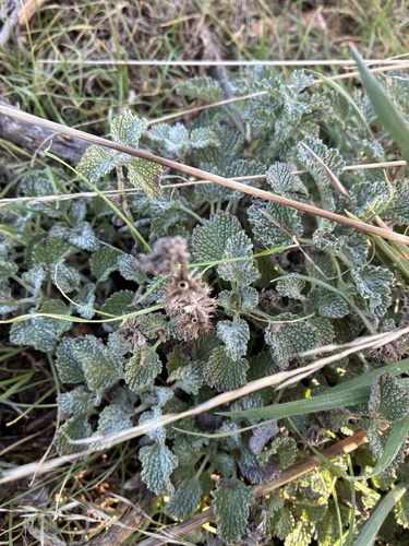
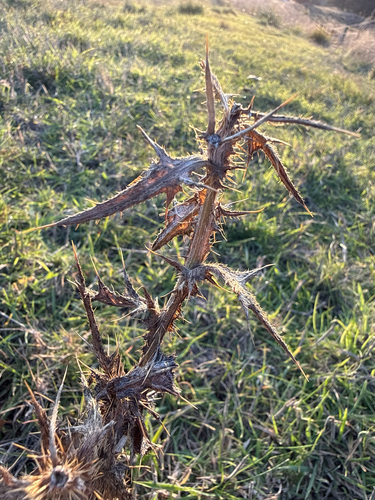
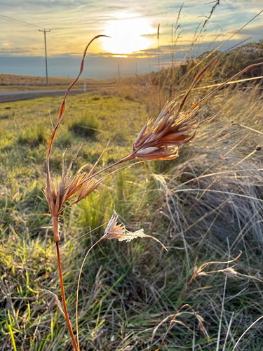
Research-grade observations from iNaturalist (within ~15 mi).
Events
Gallery
Sources
- • Wikipedia
- • Wikidata
- • iNaturalist
- • Open-Meteo / sunrise-sunset.org
- • Wikipedia Pageviews API
- • Open Library