Browse / Australia / Queensland / Capella
Capella
Queenslandtown

Capella
Total population
974
Air quality index
Demographic figures from Australian Bureau of Statistics. Overview below cites Wikipedia and may reference a different year.
City facts
Overview
Capella is a rural town and locality in the Central Highlands Region, Queensland, Australia. In the 2021 census, the locality of Capella had a population of 974 people.
Read more on WikipediaHistory & geography
History
Capella was founded on traditional Wangan land in the 1860s by graziers influenced by the good reports of Ludwig Leichhardt. The town takes its name from Capella Creek, which was in turn named after the star Capella. The Creek was probably named by surveyor Charles Frederick Gregory In June 1883 Mr Jorgensen was contracted to build a Presbyterian Church and school for £146, to be completed in one month. Capella Provisional School opened on 29 August 1883. In July 1884 the school had an enrolment of 35 children, and an average attendance of 28 children. In 1900 it became Capella State School. In 1978 a pre-school was added. In 1984 a secondary department was added, but it ceased when Capella State High School opened on 23 January 1989. Gordon Downs Provisional School opened circa 1885 and closed circa 1886. Land resumed from large pastoral runs was made available to small farm selectors in 1883 and small cropping and dairying became early industries; a Butter Factory was built in 1900 under the "Meat and Diary Encouragement Act." From 1894 Wesleyan Methodist services were held at Capella State School by Reverend Taylor, minister of the Wesleyan Church in Clermont. On 2 May 1898, Reverend J.R. Williams, based at Clermont, held the first Wesleyan service in the Capella church. By the late 1890s it was reported that "great improvements have been made at this place of late": in 1898 new offices for the Peak Downs Divisional Board (the fore-runner of the Peak Downs Shire Council) were opened, a number of new shops had been built, and the Old Exchange Hotel and the Peak Downs Hotel were renovated and re-opened. Mrs Lucy Stuart of Gordon Downs Station laid the foundation block for the Holy Spirit Anglican Church on Easter Monday 1 April 1907. The early 20th century…
Geography
Capella is midway between Emerald and Clermont on the Gregory Highway. The highway, also known as Peak Downs Street, passes through Capella from north to south and is Capella's Main Street. Capella is served by the Capella railway station () on a railway line from Emerald to Blair Athol; it is a branch line of the Central Western railway line. The branch line also runs from north to south and is immediately adjacent and to the west of the highway. Capella Creek flows from east to west across the northern part of the locality to the immediate north of the town. Capella Creek is a tributary of the Nogoa River, which in turn is a tributary of the Fitzroy River which enters the Coral Sea.
Excerpted from the corresponding Wikipedia article (CC BY-SA).
Geography
Coordinates & boundaries from the US Census TIGER/Line shapefiles.
Climate
Air quality
Current readings from Open-Meteo Air Quality API (Copernicus CAMS European reanalysis).
Walkability
Amenities nearby
Wildlife & biodiversity
Most-observed species
- Crested PigeonOcyphaps lophotes (Temminck, 1822) · Aves65
- GalahEolophus roseicapilla (Vieillot, 1817) · Aves54
- Magpie-larkGrallina cyanoleuca (Latham, 1802) · Aves49
- Australian MagpieGymnorhina tibicen (Latham, 1802) · Aves49
- Torresian CrowCorvus orru Bonaparte, 1850 · Aves47
- ApostlebirdStruthidea cinerea Gould, 1837 · Aves44
- Yellow-throated MinerManorina flavigula (Gould, 1840) · Aves41
- Pale-headed RosellaPlatycercus adscitus (Latham, 1790) · Aves38
Citizen-science & research observations from the Global Biodiversity Information Facility (GBIF).
Earthquake history
Events from the USGS Earthquake Catalog (global) (FDSN Event Web Service).
Photos
Sights & places nearby
Notable people from here
Nearby places in Queensland
- Summerhill3.4 mi away
- Kurrajong3.6 mi away
- Barrylar Homestead31 mi away
- Kielys Farm34.6 mi away
- Wolfang Park38.6 mi away
- Mt Stuart Homestead41.6 mi away
- Tae Glen43.1 mi away
- West Wolfang Homestead45.9 mi away
- Middlemount47.1 mi away · pop. 1,884
- Jimbaroo47.2 mi away
- Anvilee Homestead48.8 mi away
- Undara Downs Homestead49.7 mi away
Geography & sun
Elevation, sunrise/sunset and daylight from Open-Meteo. Solar climatology from NASA POWER.
Nearby airports
Public attention
Pageview totals from the Wikimedia Pageviews API.
Books about this place
Recent natural events nearby
Ground air-quality sensors
Recently spotted species
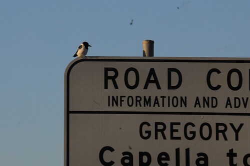
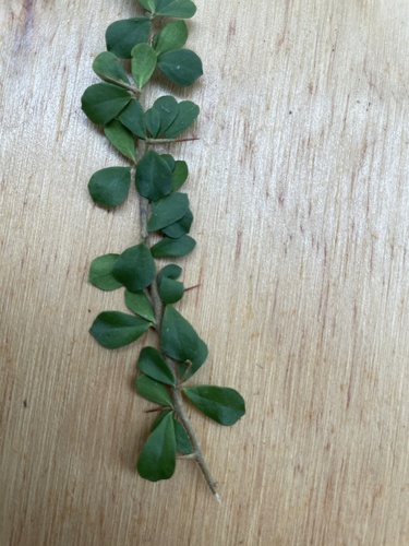
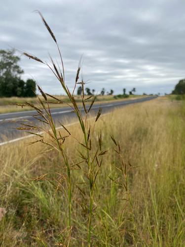
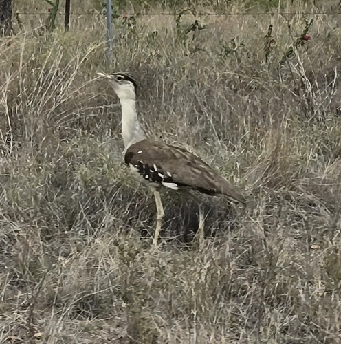
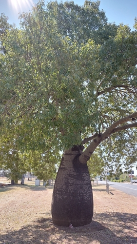
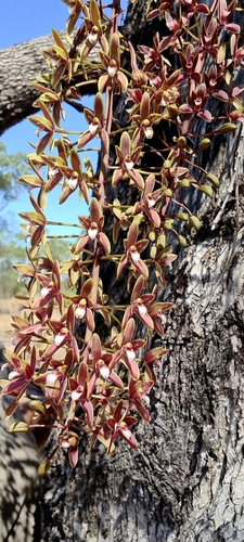
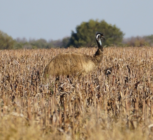
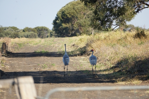
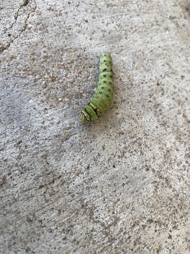
Research-grade observations from iNaturalist (within ~15 mi).
Events
Gallery
Sources
- • Wikipedia
- • Wikidata
- • Open-Meteo Air Quality (CAMS)
- • USGS Earthquake Catalog (global feed)
- • GBIF (Global Biodiversity Information Facility)
- • iNaturalist
- • Open-Meteo / sunrise-sunset.org
- • Wikipedia Pageviews API