Browse / Australia / Victoria / Cobram
Cobram
Victoriatown

Cobram
Total population
5,389
Founded
1888
Demographic figures from Australian Bureau of Statistics. Overview below cites Wikipedia and may reference a different year.
City facts
Facts from Wikidata (CC0).
Overview
Cobram is a town in Victoria, Australia. It is on the Murray River which forms the border between Victoria and New South Wales. Cobram along with the nearby towns of Numurkah and Yarrawonga is part of Shire of Moira and is the administrative centre of the council. Its twin town of Barooga is located on the north side of the Murray River. Surrounding Cobram are a number of orchards, dairy farms and wineries. At the 2021 census, Cobram had a population of 6,148. Barooga's population is currently 1,888.
Read more on WikipediaHistory & geography
History
Aboriginals, although they had disappeared from the area prior to European settlement, were believed to inhabit the stretch of region bound by the Murray River from Tocumwal to the east of Cobram and south as far as the Broken Creek. The main tribe believed to have occupied the area were the Bangerang. A 'horde', or smaller grouping of about 100 persons, named Angootheraban, are believed to have lived in the immediate Cobram area. Charles Sturt first passed through the region on the northern bank of the Murray River in June 1838 en route to South Australia, leading a cattle droving party, with 300 head of cattle. In January 1845, Octavius Phillpotts established Cobram station between the already existing Yarrawonga and Strathmerton stations, located where Cobram East now is. This was divided into the Cobram and St. James stations in 1855. By the 1860s, present day Cobram still hadn't begun to exist, and the area was still broadly referred to as Yarroweyah. In 1868, the old township of Cobram, bound by Warkil Street to the west and the Murray River to the east was reserved for future use, about 15 kilometres west of Cobram East. Up until this time, the area of Cobram was part of the Echuca Shire, Cobram station was included when Yarrawonga Shire was created on 15 May 1878. On 12 August 1879 the first school, 2166 Cobram, opened, later renamed Cobram East. In 1886, the government produced the town plan for Cobram, as section 110. 1888 brought about the establishment of the township proper, with the opening of the primary school, Cobram 2881, in April, the opening of the Cobram Post Office near the court house on 1 May, and the coming of the railway on 1 October, which had been heavily publicised by the Cobram Courier, the town's newspaper, first issued 12 September…
Excerpted from the corresponding Wikipedia article (CC BY-SA).
Geography
Coordinates & boundaries from the US Census TIGER/Line shapefiles.
Climate
10-year averages from ERA5 reanalysis (Open-Meteo).
Air quality
Walkability
Amenities nearby
Wildlife & biodiversity
Most-observed species
- White NightshadeSolanum elaeagnifolium Cav. · Magnoliopsida428
- Perforate St John's-wortHypericum perforatum L. · Magnoliopsida376
- Australian MagpieGymnorhina tibicen (Latham, 1802) · Aves351
- GalahEolophus roseicapilla (Vieillot, 1817) · Aves279
- White HorehoundMarrubium vulgare L. · Magnoliopsida267
- Sulphur-crested CockatooCacatua galerita (Latham, 1790) · Aves249
- Maned DuckChenonetta jubata (Latham, 1801) · Aves231
- Laughing KookaburraDacelo novaeguineae (Hermann, 1783) · Aves226
Citizen-science & research observations from the Global Biodiversity Information Facility (GBIF).
Earthquake history
Most recent
- M 3.2 — 2013-06-2224 km SE of Benalla, Australia
- M 3 — 2010-05-268 km E of Rochester, Australia
- M 3.3 — 2005-01-2016 km WNW of Wangaratta, Australia
- M 2.5 — 2002-08-0910 km ESE of Kyabram, Australia
Events from the USGS Earthquake Catalog (global) (FDSN Event Web Service).
Photos
Sights & places nearby
Notable people from here

People born within ~10 km, from Wikidata (CC0). Click any name for their Wikipedia article.
Nearby places in Victoria
- Koonoomoo4.7 mi away
- Yarroweyah4.9 mi away · pop. 137
- Strathmerton9.3 mi away · pop. 572
- Katamatite11.3 mi away · pop. 240
- Invergordon North15.8 mi away
- Invergordon16.6 mi away
- Youarang17.8 mi away
- Marungi18.2 mi away
- Wunghnu20.2 mi away · pop. 221
- Yabba North20.6 mi away
- Tungamah21.2 mi away · pop. 348
- Katandra West21.8 mi away · pop. 255
Geography & sun
Elevation, sunrise/sunset and daylight from Open-Meteo. Solar climatology from NASA POWER.
Nearby airports
Public attention
Pageview totals from the Wikimedia Pageviews API.
Books about Cobram
Search results from Open Library.
Recent natural events nearby
Ground air-quality sensors
Recently spotted species
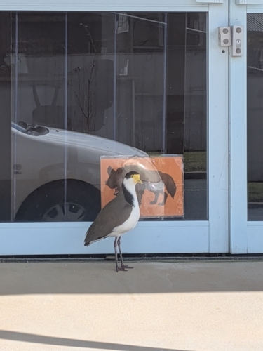
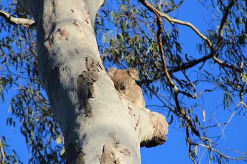
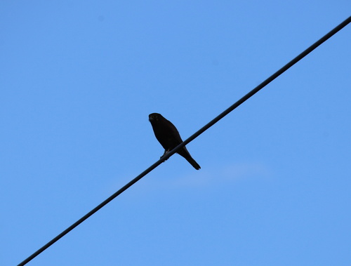
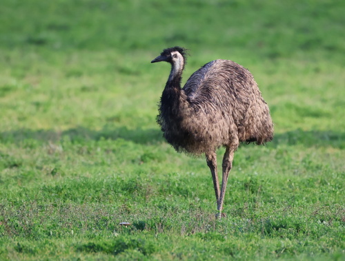
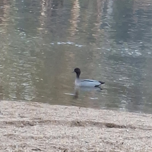
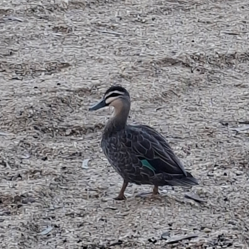
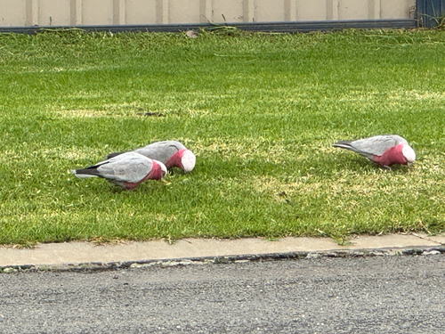
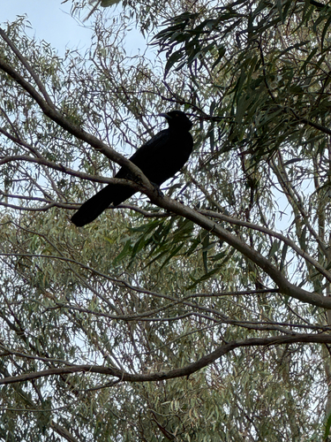
Research-grade observations from iNaturalist (within ~15 mi).
Events
Gallery
Geotagged photos within ~6 miles of Cobram, from Wikimedia Commons contributors.


Photos via Wikimedia Commons — see each image page for license & attribution.
Sources
- • Wikipedia
- • Open-Meteo (ERA5 reanalysis)
- • Wikimedia Commons
- • Wikidata
- • USGS Earthquake Catalog (global feed)
- • GBIF (Global Biodiversity Information Facility)
- • iNaturalist
- • Open-Meteo / sunrise-sunset.org
- • Wikipedia Pageviews API
- • Open Library