Browse / Australia / New South Wales / Coolah
Coolah
New South Walestown

Coolah
Total population
722
Demographic figures from Australian Bureau of Statistics. Overview below cites Wikipedia and may reference a different year.
City facts
Facts from Wikidata (CC0).
Overview
Coolah is a town in the central western part of New South Wales, Australia in Warrumbungle Shire. At the 2016 census, Coolah had a population of 1,290. The name Coolah is derived from the Port Jackson Pidgin English word meaning "angry".
Read more on WikipediaHistory & geography
History
Coolah was initially the lands of the Wiradjuri and Kamilaroi People. It is said the valley was often used as a meeting ground between peoples of the two nations. The area was also the home to King Togee a legendary leader of his people. His gravesite is on the Neilrex Road to the west of Coolah. The Coolah area was first colonised by British pastoralists in the late 1830s. A Border Police barracks was established at Coolah around 1840 under Graham Douglas Hunter who was the Commissioner for Crown Lands for the Bligh District. Coolah Post Office opened on 1 January 1849. The town was served by the Coolah railway line from March 1920 until May 1975. Cadbury Schweppes introduced a citrus-flavoured energy drink in the US in 2006 named Coolah Energy. The text on the packaging for this product refers to the Australian Cadbury Schweppes product Solo as its inspiration, along with the lifestyle of the inhabitants of the town of Coolah. Coolah is the location of the first Australian memorial commemorating The Battle of Long Tan. A total of 18 trees were planted along Coolah's Vietnam Memorial Avenue, one for each Australian soldier killed during the battle.
Geography
On the northeastern side of the area is the Liverpool Range with the Coolah Tops National Park. Most of the region is agricultural with sheep and cattle raising and crops grown along the Talbragar River and Coolaburragundy River valleys.
Excerpted from the corresponding Wikipedia article (CC BY-SA).
Geography
Coordinates & boundaries from the US Census TIGER/Line shapefiles.
Climate
Air quality
Walkability
Amenities nearby
Wildlife & biodiversity
Most-observed species
- Australian MagpieGymnorhina tibicen (Latham, 1802) · Aves64
- Perforate St John's-wortHypericum perforatum L. · Magnoliopsida59
- Sulphur-crested CockatooCacatua galerita (Latham, 1790) · Aves56
- Magpie-larkGrallina cyanoleuca (Latham, 1802) · Aves52
- Willie-wagtailRhipidura leucophrys (Latham, 1802) · Aves44
- Noisy MinerManorina melanocephala (Latham, 1801) · Aves42
- Common MynaAcridotheres tristis (Linnaeus, 1766) · Aves42
- Eastern RosellaPlatycercus eximius (Shaw, 1792) · Aves37
Citizen-science & research observations from the Global Biodiversity Information Facility (GBIF).
Earthquake history
Events from the USGS Earthquake Catalog (global) (FDSN Event Web Service).
Photos
Sights & places nearby
Notable people from here
People born within ~10 km, from Wikidata (CC0). Click any name for their Wikipedia article.
Nearby places in New South Wales
Geography & sun
Elevation, sunrise/sunset and daylight from Open-Meteo. Solar climatology from NASA POWER.
Nearby airports
Public attention
Pageview totals from the Wikimedia Pageviews API.
Books about this place
Recent natural events nearby
Ground air-quality sensors
Recently spotted species
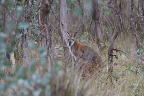
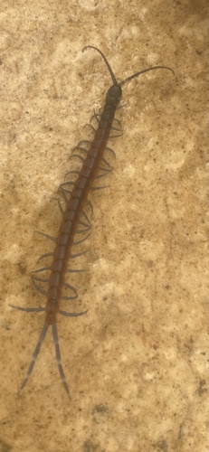
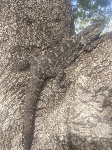
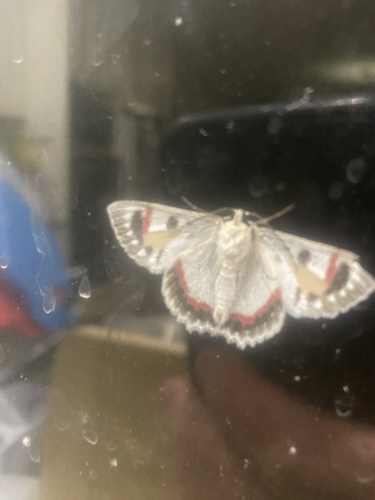
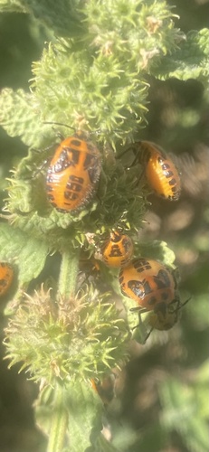
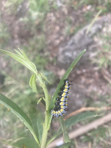
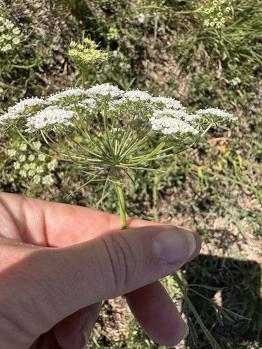
Research-grade observations from iNaturalist (within ~15 mi).
Events
Gallery
Sources
- • Wikipedia
- • Wikidata
- • USGS Earthquake Catalog (global feed)
- • GBIF (Global Biodiversity Information Facility)
- • iNaturalist
- • Open-Meteo / sunrise-sunset.org
- • Wikipedia Pageviews API