Browse / Australia / New South Wales / Coolamon
Coolamon
New South Walestown

Coolamon
Total population
1,744
Demographic figures from Australian Bureau of Statistics. Overview below cites Wikipedia and may reference a different year.
City facts
Facts from Wikidata (CC0).
Overview
Coolamon is a town in the Riverina region of south-west New South Wales, Australia. Coolamon is 40 kilometres (25 mi) north-west of Wagga Wagga and 506 kilometres (314 mi) south-west of Sydney via the Hume and Sturt Highways. The town is situated on the railway line between Junee and Narrandera. Coolamon had a population of 2,275 at the 2021 census and is 290 metres (950 ft) above sea level. It is the administrative and service centre for the local government area which bears its name—Coolamon Shire.
Read more on WikipediaHistory & geography
History
The name of Coolamon comes from the Aboriginal word for a basin-shaped wooden dish made and used by Australian Aboriginal people. In the area around the town are thousands of naturally occurring indentations in the ground called Coolamon Holes which fill with water. The original land where Coolamon now stands, prior to European settlement, was occupied by the Wiradjuri Aboriginal peoples. A property "Coleman" was first settled there by a Mr J. Atkinson in 1848. The town was surveyed prior to the coming of the railway in 1881. Cowabbie Post Office opened on 1 May 1881 and was renamed Ganmain on 1 July and Coolamon on 1 November of that year. At the outbreak of World War 1 Coolamon was hosting the then opposition leader The Right Hon. Andrew Fisher MP. who shortly before addressing a meeting in the Odd Fellow's hall received a telegram from the Prime Minister Joseph Cook advising him that the UK Government had declared war on Germany. He announced to the meeting that Australia would support Britain "to the last man and the last shilling" a line that he would repeat frequently throughout the war, but which was first used in Coolamon. Fisher became Prime Minister following an election held a month later.
Excerpted from the corresponding Wikipedia article (CC BY-SA).
Geography
Coordinates & boundaries from the US Census TIGER/Line shapefiles.
Climate
Air quality
Walkability
Amenities nearby
Wildlife & biodiversity
Most-observed species
- African BoxthornLycium ferocissimum Miers · Magnoliopsida536
- Perforate St John's-wortHypericum perforatum L. · Magnoliopsida188
- White NightshadeSolanum elaeagnifolium Cav. · Magnoliopsida143
- Australian MagpieGymnorhina tibicen (Latham, 1802) · Aves120
- Magpie-larkGrallina cyanoleuca (Latham, 1802) · Aves105
- GalahEolophus roseicapilla (Vieillot, 1817) · Aves92
- Crested PigeonOcyphaps lophotes (Temminck, 1822) · Aves89
- White-winged ChoughCorcorax melanoramphos (Vieillot, 1817) · Aves84
Citizen-science & research observations from the Global Biodiversity Information Facility (GBIF).
Earthquake history
Most recent
- M 3.9 — 2004-02-2816 km SSE of Junee, Australia
- M 3.3 — 2003-07-1115 km WNW of Cootamundra, Australia
- M 2.5 — 2003-07-1115 km WNW of Cootamundra, Australia
- M 2.7 — 2002-03-042 km W of West Wyalong, Australia
Events from the USGS Earthquake Catalog (global) (FDSN Event Web Service).
Photos
Sights & places nearby
Notable people from here
Nearby places in New South Wales
Geography & sun
Elevation, sunrise/sunset and daylight from Open-Meteo. Solar climatology from NASA POWER.
Nearby airports
Public attention
Pageview totals from the Wikimedia Pageviews API.
Books about Coolamon
Search results from Open Library.
Recent natural events nearby
Ground air-quality sensors
Recently spotted species
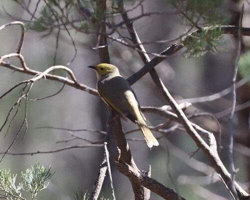
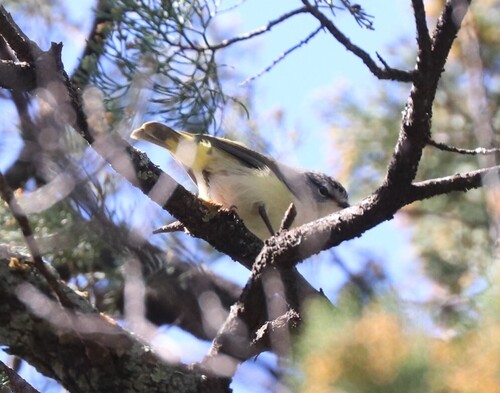
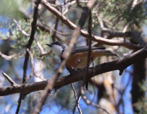
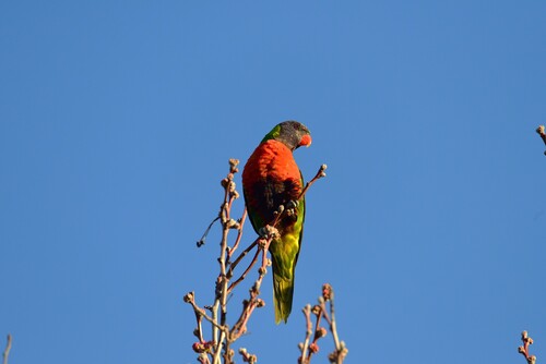
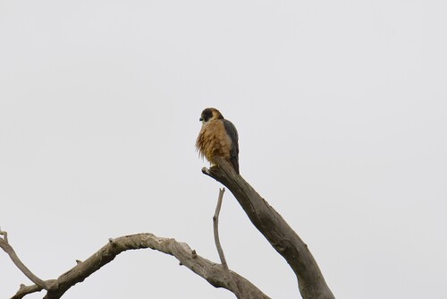
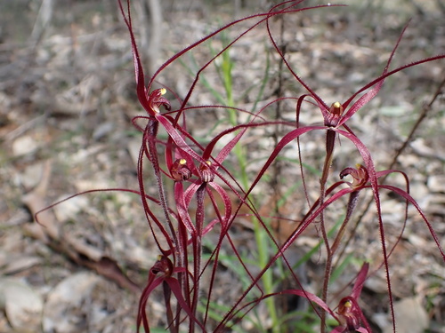
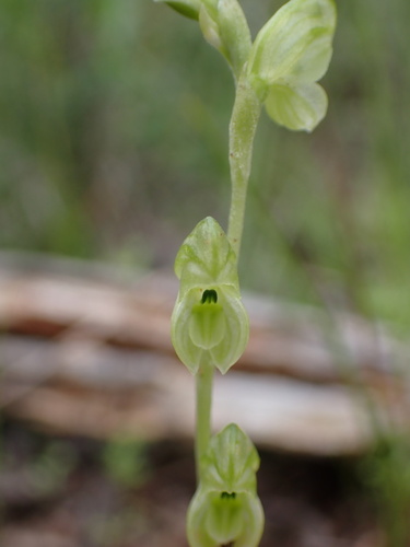
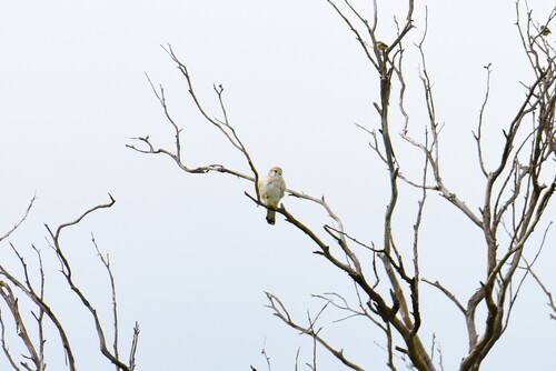
Research-grade observations from iNaturalist (within ~15 mi).
Events
Gallery
Sources
- • Wikipedia
- • Wikidata
- • USGS Earthquake Catalog (global feed)
- • GBIF (Global Biodiversity Information Facility)
- • iNaturalist
- • Open-Meteo / sunrise-sunset.org
- • Wikipedia Pageviews API
- • Open Library