Browse / Australia / Western Australia / Derby
Derby
Western Australiatown

Derby
Total population
3,009
Demographic figures from Australian Bureau of Statistics. Overview below cites Wikipedia and may reference a different year.
City facts
Facts from Wikidata (CC0).
Overview
Derby is a town in the Kimberley region of Western Australia. At the 2021 census, Derby had a population of 3,222 with 41.5% of Aboriginal and Torres Strait Islander descent. Along with Broome and Kununurra, it is one of only three towns in the Kimberley to have a population over 2,000. Located on King Sound, Derby has the highest tides in Australia, with the differential between low and high tide reaching 11.8 metres (39 ft).
Read more on WikipediaHistory & geography
History
Derby falls within Nyiginka country. The town was founded in 1883 and named after Edward Stanley, 15th Earl of Derby, the British secretary of state for the colonies. During World War II, Derby was bombed by Japanese planes because of an air base and jetty that was used by Australian forces. More recently, refugees were housed at Royal Australian Air Force Base Curtin, however the detention centre was closed in 2014. Derby was famous in the 1920s as the terminus of the first scheduled aviation service in Australia, West Australian Airways Ltd. Their service began with their first flight on 5 December 1921, which crashed, near Geraldton. At one time the Perth to Derby service was the world's longest passenger airline route. Derby Hospital treated many aboriginal patients with Hansen's Disease, then known as leprosy. The Derby Leprosarium operated from 1936 to 1986, staffed by nuns led by Sr Mary Gertrude. In 1968 the town had a population of approximately 1,500 people, many employed at the meatworks. A A$900,000 beef road from Glenroy Station to Derby was completed the same year to assist with the development of beef processing. A A$2 million steel and concrete jetty was built in 1965 to provide adequate port facilities for the shipment of live cattle. The West Kimberley Regional Prison, whose architecture won several awards, was opened in 2012. Local boy Jimmy Taylor disappeared from Derby on 29 August 1974 after walking to a local shop. In 2014, a coroner determined that he had died, but was unable to determine when or how, recording an open verdict. Convicted child killer James Ryan O'Neill was living in Derby at the time of Taylor's disappearance but he has denied any involvement. In 2023, a $1 million reward was offered to anyone who provided information as…
Excerpted from the corresponding Wikipedia article (CC BY-SA).
Geography
Coordinates & boundaries from the US Census TIGER/Line shapefiles.
Climate
Air quality
Walkability
Amenities nearby
Wildlife & biodiversity
Earthquake history
Photos
Sights & places nearby
Notable people from here


People born within ~10 km, from Wikidata (CC0). Click any name for their Wikipedia article.
Geography & sun
Elevation, sunrise/sunset and daylight from Open-Meteo. Solar climatology from NASA POWER.
Nearby airports
Public attention
Pageview totals from the Wikimedia Pageviews API.
Books about this place
Recent natural events nearby
Ground air-quality sensors
Recently spotted species
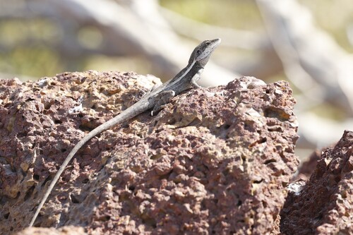

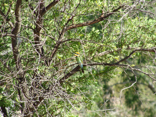
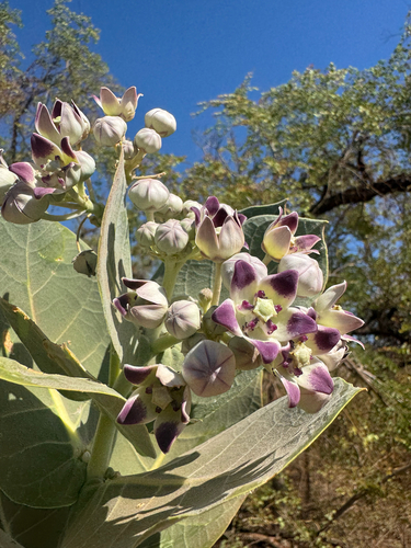
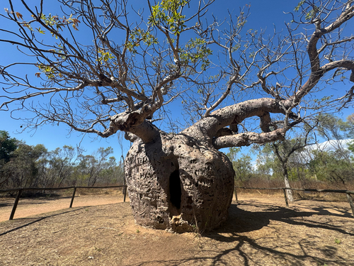
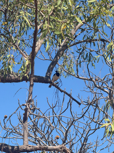
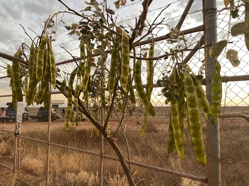
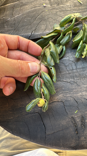
Research-grade observations from iNaturalist (within ~15 mi).
Events
Gallery
Sources
- • Wikipedia
- • Wikidata
- • iNaturalist
- • Open-Meteo / sunrise-sunset.org
- • Wikipedia Pageviews API