Browse / Australia / Queensland / Dimbulah
Dimbulah
Queenslandvillage

Dimbulah
Total population
366
Demographic figures from Australian Bureau of Statistics. Overview below cites Wikipedia and may reference a different year.
City facts
Overview
Dimbulah is a rural town and locality in Far North Queensland, Australia, 114 kilometres (71 mi) from Cairns by road, on the Atherton Tableland. It is within the local government area of Shire of Mareeba. In the 2021 census, the locality of Dimbulah had a population of 975 people, a decrease from the 1,050 people in the 2016 census.
Read more on WikipediaHistory & geography
History
The town was established in 1876 to service the Tyrconnell Gold Mine, one of the richest mines on the Hodgkinson Gold Fields. The name "Dimbulah" is thought to have come from the local Indigenous Australian word for "long waterhole", referring to the Walsh River that runs nearby the town. Dimboola Post Office opened by 1900 and was renamed Dimbulah in 1904. The area around Dimbulah was originally home to the Djankun and Kuku Djungan tribe. Wolfram Camp Provisional School opened in 1905. On 1 January 1909, it became Wolfram Camp State School and was renamed that year to be Wolfram State School. It closed in 1930, reopened in 1938 and then closed finally circa 1940. Boonmoo Provisional School opened circa July 1910 and closed circa April 1912. Dimbulah Provisional School opened on 28 September 1914. On 1 December 1914, it became Dimbulah State School. On 25 January 1965, it was expanded to include a secondary department. The school celebrated its centenary on 27 September 2014. The Dimbulah parish of the Roman Catholic Diocese of Cairns was established in 1963. The Dimbulah Public Library opened in 1995 with a minor refurbishment in 2013.
Geography
Dimbulah is south-west of Cairns. The Tablelands railway line passes through the locality which is served by the following railway stations (from north to south): * Chircan railway station, now abandoned () * Verdure railway station, now abandoned ()
Excerpted from the corresponding Wikipedia article (CC BY-SA).
Geography
Coordinates & boundaries from the US Census TIGER/Line shapefiles.
Climate
Air quality
Walkability
Amenities nearby
Wildlife & biodiversity
Most-observed species
- Australian MagpieGymnorhina tibicen (Latham, 1802) · Aves45
- Pied ButcherbirdCracticus nigrogularis (Gould, 1837) · Aves44
- Black KiteMilvus migrans (Boddaert, 1783) · Aves43
- Blue-faced HoneyeaterEntomyzon cyanotis (Latham, 1801) · Aves40
- Magpie-larkGrallina cyanoleuca (Latham, 1802) · Aves35
- Red-tailed Black-CockatooCalyptorhynchus banksii (Latham, 1790) · Aves33
- Pale-headed RosellaPlatycercus adscitus (Latham, 1790) · Aves32
- Whistling KiteHaliastur sphenurus (Vieillot, 1818) · Aves32
Citizen-science & research observations from the Global Biodiversity Information Facility (GBIF).
Earthquake history
Events from the USGS Earthquake Catalog (global) (FDSN Event Web Service).
Photos
Sights & places nearby
Notable people from here
People born within ~10 km, from Wikidata (CC0). Click any name for their Wikipedia article.
Geography & sun
Elevation, sunrise/sunset and daylight from Open-Meteo. Solar climatology from NASA POWER.
Nearby airports
Public attention
Pageview totals from the Wikimedia Pageviews API.
Books about Dimbulah
Search results from Open Library.
Recent natural events nearby
Ground air-quality sensors
Recently spotted species
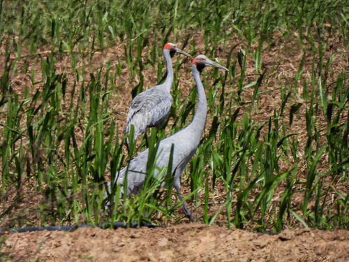
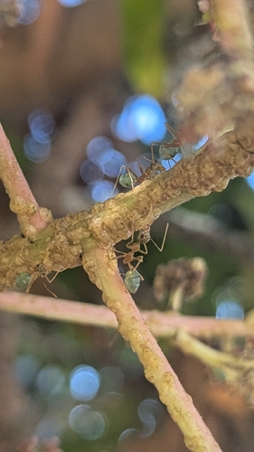
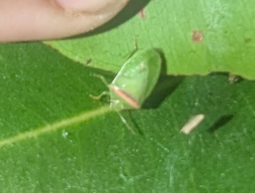
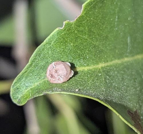
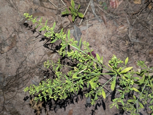
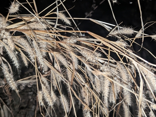
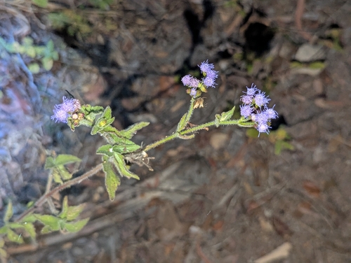
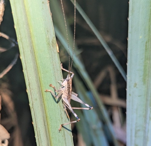
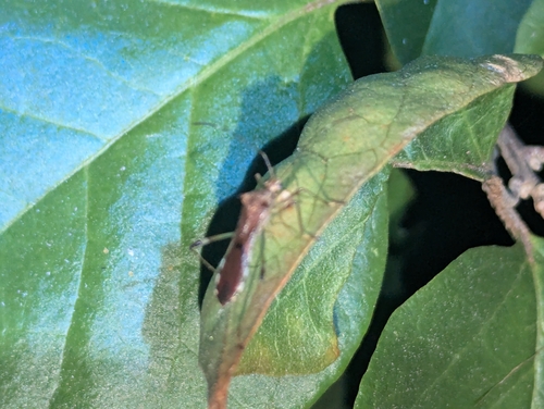
Research-grade observations from iNaturalist (within ~15 mi).
Events
Gallery
Sources
- • Wikipedia
- • Wikidata
- • USGS Earthquake Catalog (global feed)
- • GBIF (Global Biodiversity Information Facility)
- • iNaturalist
- • Open-Meteo / sunrise-sunset.org
- • Wikipedia Pageviews API
- • Open Library