Browse / Australia / Queensland / Doomadgee
Doomadgee
Queenslandvillage
Total population
1,387
Demographic figures from Australian Bureau of Statistics. Overview below cites Wikipedia and may reference a different year.
City facts
Overview
Doomadgee is an outback town and locality in the Aboriginal Shire of Doomadgee, Queensland, Australia. It is a mostly Indigenous community, situated about 140 kilometres (87 mi) from the Northern Territory border, and 93 kilometres (58 mi) west of Burketown. The settlement began with the establishment of the Doomadgee Mission in 1933, which relocated from Bayley Point to Nicholson River in 1936. In the 2021 census, the locality of Doomadgee had a population of 1,387 people.
Read more on WikipediaHistory & geography
History
The Waanyi and Ganggalidda (Yukulta) people are the recognised Aboriginal Australian peoples who are the traditional owners for the region surrounding Doomadgee. Historically, Gadawa, Lardil, Mingginda and Garawa groups inhabited or traversed the area. The Waanyi language (also known as Wanyi, Wanyee, Wanee, Waangyee, Wonyee, Garawa, and Wanji) is an Australian Aboriginal language of the Gulf Country. The language region includes the western parts of Lawn Hill Creek and Nicholson River, from about the boundary between the Northern Territory and Queensland, westwards towards Alexandria station, Doomadgee, and Nicholson River. It includes the local government area of the Shire of Doomadgee. Yukulta (also known as Ganggalida) is also spoken in the Gulf Country, including the in Doomadgee and Mornington Shires. From the late 19th century, Europeans started settling in the area, making a huge impact on the lives of the Indigenous peoples. Conflict occurred, as it did elsewhere in the Australian frontier wars. Native Police, known as yabayiri to the locals, were established at Turn Off Lagoon, which was on the Nicholson River about west of present-day Doomadgee site, in 1889. Before this, Native Police had been at a location on Carl Creek, to the south, since 1878. The Protector of Aboriginals was appointed on 30 Apr 1936, under the Aboriginals Protection and Restriction of the Sale of Opium Act 1897, whereby Aboriginal and Torres Strait Islander people became wards of the state. The Protector controlled the lives of Aboriginal people in Queensland until the Aborigines and Torres Strait Islanders Affairs Act 1965 came into force on 28 April 1966 and the Department of Aboriginal and Island Affairs was created, and every Clerk of the Court within the State became a…
Excerpted from the corresponding Wikipedia article (CC BY-SA).
Geography
Coordinates & boundaries from the US Census TIGER/Line shapefiles.
Climate
Air quality
Walkability
Amenities nearby
Wildlife & biodiversity
Earthquake history
Events from the USGS Earthquake Catalog (global) (FDSN Event Web Service).
Photos
Sights & places nearby
Notable people from here
Nearby places in Queensland
- Burketown49.3 mi away · pop. 167
- Gregory56.3 mi away
- Njinjilki76.4 mi away
- Burke and Wills133.1 mi away
- Karumba136.1 mi away · pop. 487
- Camooweal144.4 mi away · pop. 152
- Normanton149.2 mi away · pop. 1,326
- Croydon225.2 mi away
- Strathmore245.5 mi away
- Urandangi255.5 mi away
- Julia Creek267.1 mi away · pop. 377
- Pormpuraaw280.1 mi away · pop. 606
Geography & sun
Elevation, sunrise/sunset and daylight from Open-Meteo. Solar climatology from NASA POWER.
Nearby airports
Public attention
Pageview totals from the Wikimedia Pageviews API.
Books about Doomadgee
Search results from Open Library.
Recent natural events nearby
Ground air-quality sensors
Recently spotted species
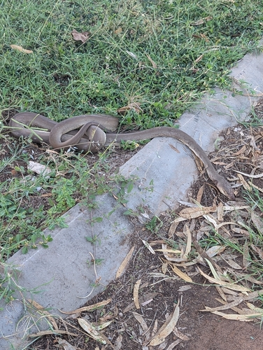
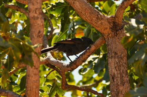
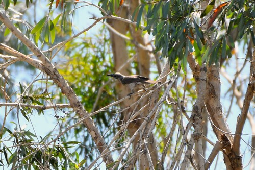
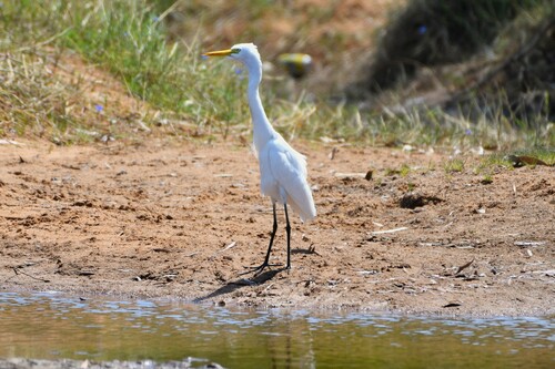
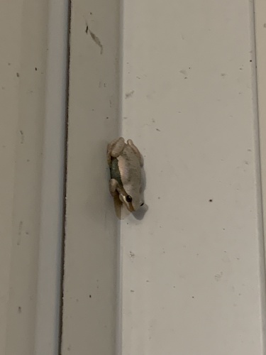
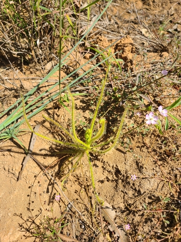
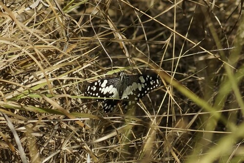
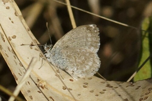
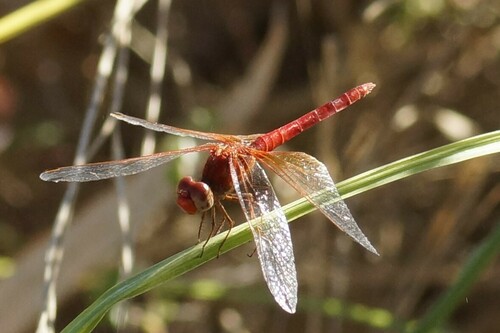
Research-grade observations from iNaturalist (within ~15 mi).
Events
Gallery
Sources
- • Wikipedia
- • Wikidata
- • USGS Earthquake Catalog (global feed)
- • iNaturalist
- • Open-Meteo / sunrise-sunset.org
- • Wikipedia Pageviews API
- • Open Library