Browse / Australia / Victoria / Ensay
Ensay
Victoriavillage

Ensay
Demographic figures from Australian Bureau of Statistics. Overview below cites Wikipedia and may reference a different year.
City facts
Overview
Ensay is a town located between Swifts Creek and Bruthen on the Great Alpine Road in East Gippsland, Victoria, Australia. Ensay is 80 kilometres (50 mi) north of the major town of Bairnsdale and 366 kilometres (227 mi) east of the state capital Melbourne. Other nearby towns include Omeo and Benambra.
Read more on WikipediaHistory & geography
History
The Aboriginal name for the area around Ensay was Numblamunjie, which translates as ‘blackfish place’. Archibald Macleod (see Bairnsdale, History) set up a station in this area in 1843. He named it after the now unpopulated island of Ensay in the Outer Hebrides of his homeland of Scotland, whose name originates from the Old Norse for Ewe Island. The land around Ensay was originally taken up in 1839 by the noted explorer of the district Angus McMillan on behalf of his then employer Lachlan Macalister. This was abandoned shortly afterwards in 1841 with the settlement of large areas of land in the more central parts of Gippsland. The original Ensay Station covered an enormous , which took in most of the Ensay district up to Swifts Creek, where it abutted the Tongio Station. Some areas very near Ensay, such as Reedy Flat, were outside the Ensay Station boundaries and were not occupied by European settlers until the 1870s. About 1881 T. Macknight Hamiton (d. 1907) and James Hamilton Irvine (d. 1895; whose brother was the 20th Laird of Drum) purchased Ensay Station. Ensay Station was progressively split up into smaller farms over the years. Notably the area became a site for soldier settlers following World War I, as returned servicemen looking for employment were allocated areas of land to farm by the government. Agricultural use of the land around Ensay remains chiefly for the raising of cattle and sheep.
Excerpted from the corresponding Wikipedia article (CC BY-SA).
Geography
Coordinates & boundaries from the US Census TIGER/Line shapefiles.
Climate
10-year averages from ERA5 reanalysis (Open-Meteo).
Air quality
Walkability
Amenities nearby
Wildlife & biodiversity
Most-observed species
- Superb FairywrenMalurus cyaneus (Ellis, 1782) · Aves201
- Australian MagpieGymnorhina tibicen (Latham, 1802) · Aves174
- Crimson RosellaPlatycercus elegans (Gmelin, 1788) · Aves154
- Pied CurrawongStrepera graculina (Shaw, 1790) · Aves151
- Australian RavenCorvus coronoides Vigors & Horsfield, 1827 · Aves146
- Gray FantailRhipidura albiscapa Gould, 1840 · Aves145
- Sulphur-crested CockatooCacatua galerita (Latham, 1790) · Aves138
- Gray ShrikethrushColluricincla harmonica (Latham, 1802) · Aves138
Citizen-science & research observations from the Global Biodiversity Information Facility (GBIF).
Earthquake history
Most recent
- M 2.8 — 2010-01-0839 km N of Briagolong, Australia
- M 2.9 — 2006-02-2814 km WNW of Falls Creek, Australia
- M 3 — 2003-09-2653 km SSE of Corryong, Australia
- M 3.2 — 2003-07-0728 km SSE of Lakes Entrance, Australia
- M 3.4 — 2001-12-168 km SW of Hotham Heights, Australia
Events from the USGS Earthquake Catalog (global) (FDSN Event Web Service).
Photos
Sights & places nearby
Notable people from here
Nearby places in Victoria
- Omeo23.2 mi away · pop. 242
- Bullumwaal24.9 mi away
- Nowa Nowa28.4 mi away · pop. 140
- Seldom Seen29.1 mi away
- Benambra29.9 mi away · pop. 58
- Swan Reach31 mi away
- Nicholson31 mi away
- Kalimna West34.2 mi away
- Lakes Entrance36 mi away · pop. 6,527
- Castleburn38.5 mi away
- Cobbannah38.8 mi away
- Dinner Plain40.8 mi away · pop. 127
Geography & sun
Elevation, sunrise/sunset and daylight from Open-Meteo. Solar climatology from NASA POWER.
Nearby airports
Public attention
Pageview totals from the Wikimedia Pageviews API.
Books about this place
Recent natural events nearby
Ground air-quality sensors
Recently spotted species
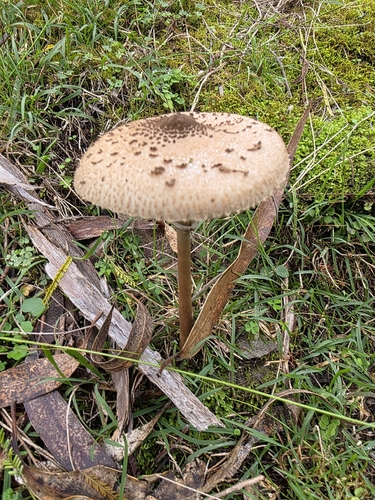
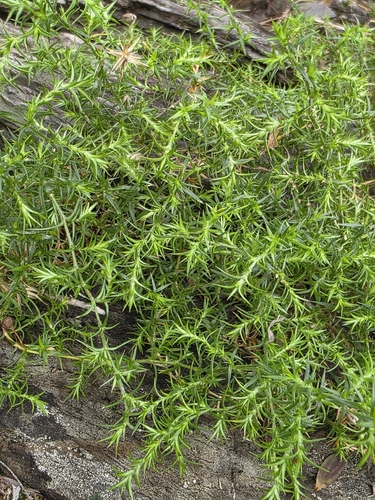
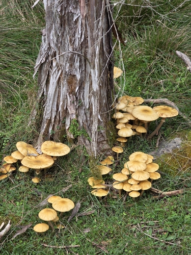
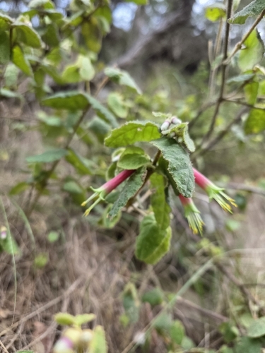
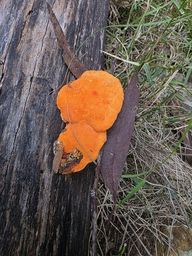
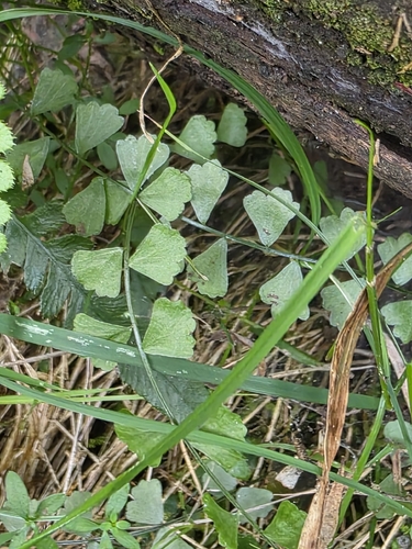
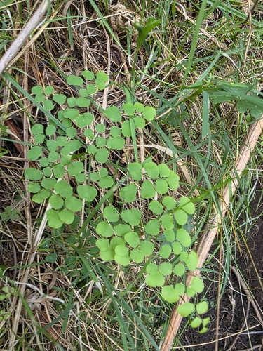
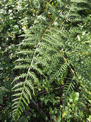
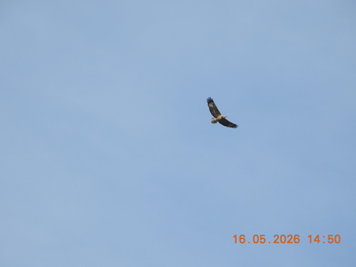
Research-grade observations from iNaturalist (within ~15 mi).
Events
Gallery
Official Identifiers
ABS — Australian Bureau of Statistics
- ASGS 2021
- SAL20875
- Population (Wikidata)
- 109
- Wikidata
- Q186688
ASGS 2021 ID via Wikidata P10112
Sources
- • Wikipedia
- • Open-Meteo (ERA5 reanalysis)
- • Wikidata
- • USGS Earthquake Catalog (global feed)
- • GBIF (Global Biodiversity Information Facility)
- • iNaturalist
- • Open-Meteo / sunrise-sunset.org
- • Wikipedia Pageviews API
- • ABS — Australian Bureau of Statistics — ASGS 2021 ID via Wikidata P10112