Browse / Australia / Western Australia / Eucla
Eucla
Western Australiahamlet

Eucla
Total population
37
Demographic figures from Australian Bureau of Statistics. Overview below cites Wikipedia and may reference a different year.
City facts
Facts from Wikidata (CC0).
Overview
Eucla is the easternmost locality in Western Australia, located in the Goldfields-Esperance region of Western Australia along the Eyre Highway, approximately 11 kilometres (7 mi) west of the South Australian border. At the 2016 Australian census, Eucla had a population of 53.
Read more on WikipediaHistory & geography
History
The name Eucla is believed to originate from an Aboriginal word Yinculyer which one (uncited) source gives as referring to the rising of the planet Venus. It was first used by Europeans for the area at some point before 1867. and in 1870, John Forrest camped at the location for nearly two weeks. In 1873, land was taken up at Moopina Station near the present townsite, and work commenced on a telegraph line from Albany to Adelaide. Land was set aside at Eucla for the establishment of a manual repeater station, and when the telegraph line opened in 1877, Eucla was one of the most important telegraph stations on the line. The station was important as a conversion point because South Australia and Victoria used American Morse code (locally known as the Victorian alphabet) while Western Australia used the international Morse code that is familiar today. A jetty and tram line were constructed for offloading supplies brought in by sea. The town was proclaimed a township and gazetted in 1885, and reached its peak in the 1920s, prior to the construction of a new telegraph line further north alongside the Trans-Australian Railway in 1929. In the 1890s, a rabbit plague passed through the area and ate much of the Delisser Sandhills' dune vegetation, thus destabilising the dune system and causing large sand drifts to encroach on the townsite. The original town was abandoned and a new townsite established about to the north and higher up on the escarpment. The ruins of the original telegraph station which still stand amongst the dunes are a local tourist attraction. Many of the pioneer farmers and telegraph operators were buried at Eucla, but as the sand dunes encroached onto their graves, some of the headstones and plaques were removed and can now be seen at the museum at…
Excerpted from the corresponding Wikipedia article (CC BY-SA).
Geography
Coordinates & boundaries from the US Census TIGER/Line shapefiles.
Climate
Air quality
Walkability
Amenities nearby
Wildlife & biodiversity
Earthquake history
Photos
Sights & places nearby
Notable people from here
Nearby places in Western Australia
- Forrest73.4 mi away
- Kybo143.1 mi away
- Yackadunyah152.8 mi away
- Rawlinna214.8 mi away · pop. 30
- Ilkurlka244 mi away
- Kitchener280.4 mi away
- Zanthus316.8 mi away
- Irrunytju387.6 mi away · pop. 157
- Papulankutja394.1 mi away · pop. 162
- Kanpa406.9 mi away
- Warburton407.5 mi away · pop. 511
- Mantamaru408.5 mi away · pop. 113
Geography & sun
Elevation, sunrise/sunset and daylight from Open-Meteo. Solar climatology from NASA POWER.
Nearby airports
Public attention
Pageview totals from the Wikimedia Pageviews API.
Books about Eucla
Search results from Open Library.
Recent natural events nearby
Ground air-quality sensors
Recently spotted species
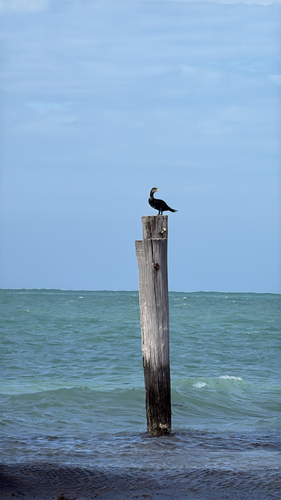
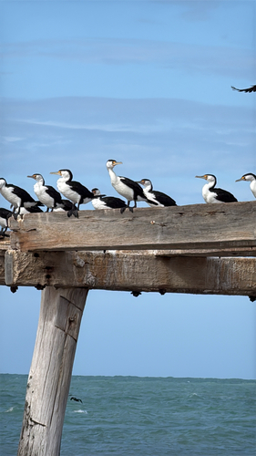
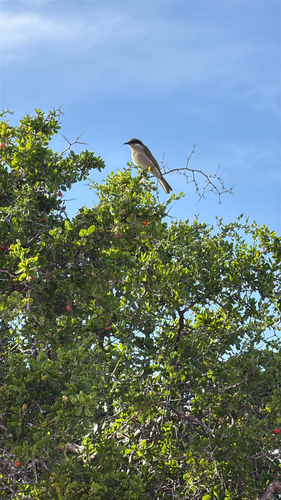
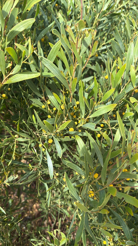
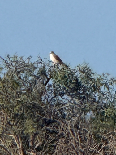
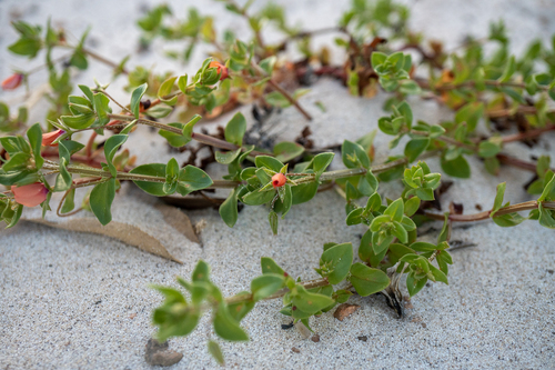
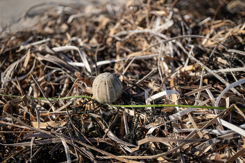
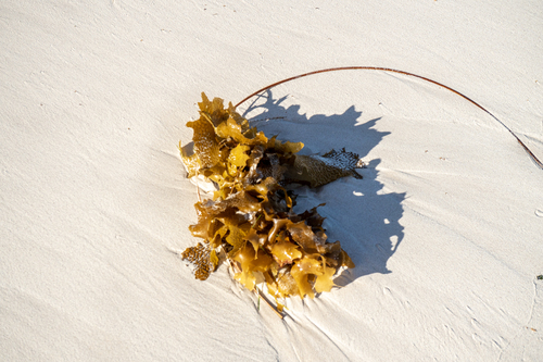
Research-grade observations from iNaturalist (within ~15 mi).
Events
Gallery
Official Identifiers
ABS — Australian Bureau of Statistics
- ASGS 2021
- SAL50494
- Population (Wikidata)
- 53
- Wikidata
- Q548172
ASGS 2021 ID via Wikidata P10112
Sources
- • Wikipedia
- • Wikidata
- • iNaturalist
- • Open-Meteo / sunrise-sunset.org
- • Wikipedia Pageviews API
- • Open Library
- • ABS — Australian Bureau of Statistics — ASGS 2021 ID via Wikidata P10112