Browse / Australia / Western Australia / Fitzroy Crossing
Fitzroy Crossing
Western Australiatown

Fitzroy Crossing
Total population
1,022
Demographic figures from Australian Bureau of Statistics. Overview below cites Wikipedia and may reference a different year.
City facts
Facts from Wikidata (CC0).
Overview
Fitzroy Crossing is a small town in the Kimberley region of Western Australia, 400 kilometres (250 mi) east of Broome and 300 kilometres (190 mi) west of Halls Creek. It is approximately 2,524 kilometres (1,568 mi) from the state capital of Perth. It is 114 metres (374 ft) above sea level and is situated on a low rise surrounded by the vast floodplains of the Fitzroy River and its tributary Margaret River.
Read more on WikipediaHistory & geography
History
Fitzroy Crossing and the lands and valleys around it were the home for a number of Aboriginal language groups. When Fitzroy Crossing was established the main group was the Bunuba people, their land stretching from the present day Brooking Springs and Leopold Downs Station to the Oscar, Napier and Wunaamin-Miliwundi Ranges. Another group in the area stretching on the other side of the Fitzroy River from Gogo, Fossil Downs, and Louisa Downs Station, and on either side of the Margaret River, is the Gooniyandi people. The plains Aboriginal people are the Nyigina and further south are the Walmajarri, the people of the Great Sandy Desert. Other traditional owners of the area are the Njikena, Konejani, and Waladjari peoples. One of the first European explorers of the Kimberley area was Alexander Forrest and his party in 1879, following the Fitzroy River to its junction with the Margaret River at Geikie Gorge. The party then travelled east as far as Darwin. Following this exploration, around 1882, the first sheep stations were established around the mouth of the Fitzroy and the next couple of years saw the stations move out west, with Noonkanbah and Quanbun opening up in 1886. The area was finally settled in 1886 by Dan MacDonald when he set up the Fossil Downs cattle station. This was following a three-year, trek from Goulburn, New South Wales. Fitzroy Crossing received its first bridge in 1935; it was built up into a more substantial structure in 1958. However this bridge could be closed for months during the monsoonal summer. In 1974 a new bridge was built south of the crossing, which moved the focus of the settlement from its original site. In January 2023, this bridge was heavily damaged and partially collapsed after record floods. It was replaced by a larger,…
Excerpted from the corresponding Wikipedia article (CC BY-SA).
Geography
Coordinates & boundaries from the US Census TIGER/Line shapefiles.
Climate
Air quality
Walkability
Amenities nearby
Wildlife & biodiversity
Most-observed species
- Magpie-larkGrallina cyanoleuca (Latham, 1802) · Aves122
- Black KiteMilvus migrans (Boddaert, 1783) · Aves118
- Peaceful DoveGeopelia placida Gould, 1844 · Aves116
- Whistling KiteHaliastur sphenurus (Vieillot, 1818) · Aves91
- Bar-shouldered DoveGeopelia humeralis (Temminck, 1821) · Aves88
- Great BowerbirdChlamydera nuchalis (Jardine & Selby, 1830) · Aves84
- Yellow-tinted HoneyeaterPtilotula flavescens (Gould, 1840) · Aves82
- Little FriarbirdPhilemon citreogularis (Gould, 1837) · Aves81
Citizen-science & research observations from the Global Biodiversity Information Facility (GBIF).
Earthquake history
Most recent
- M 4.2 — 2026-05-1152 km N of Fitzroy Crossing, Australia
- M 4.2 — 2023-06-2173 km NNW of St George Ranges, Australia
- M 3.6 — 2004-12-1681 km NW of Fitzroy Crossing, Australia
Events from the USGS Earthquake Catalog (global) (FDSN Event Web Service).
Photos
Sights & places nearby
Notable people from here
Nearby places in Western Australia
Geography & sun
Elevation, sunrise/sunset and daylight from Open-Meteo. Solar climatology from NASA POWER.
Nearby airports
Public attention
Pageview totals from the Wikimedia Pageviews API.
Books about Fitzroy Crossing

Search results from Open Library.
Recent natural events nearby
Ground air-quality sensors
Recently spotted species
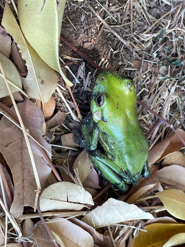
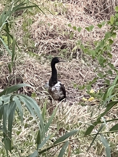
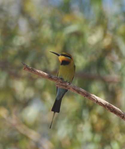
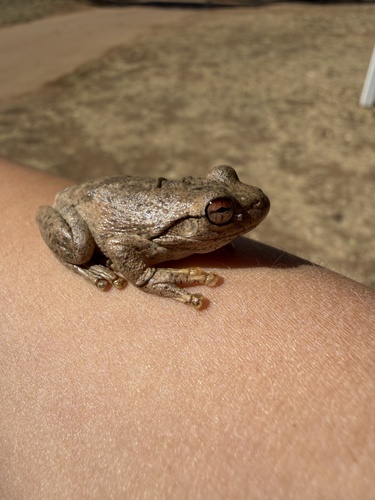
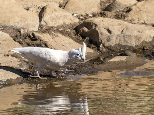
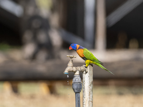
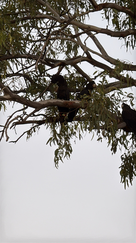
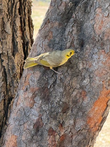
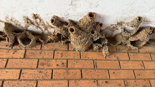
Research-grade observations from iNaturalist (within ~15 mi).
Events
Gallery
Sources
- • Wikipedia
- • Wikidata
- • USGS Earthquake Catalog (global feed)
- • GBIF (Global Biodiversity Information Facility)
- • iNaturalist
- • Open-Meteo / sunrise-sunset.org
- • Wikipedia Pageviews API
- • Open Library