Browse / Australia / Queensland / Forsayth
Forsayth
Queenslandtown

Forsayth
Total population
58
Demographic figures from Australian Bureau of Statistics. Overview below cites Wikipedia and may reference a different year.
City facts
Overview
Forsayth is a rural town and locality in the Shire of Etheridge, Queensland, Australia. In the 2021 census, the locality of Forsayth had a population of 107 people.
Read more on WikipediaHistory & geography
History
Jangga, also known as Yangga, is a language of Central Queensland. The Jangga language region includes the landscape within the local government boundaries of the Etheridge Shire Council. Originally known as Finnigan's Camp after the prospector who discovered gold nearby in 1871, within a year the settlement had become Charleston township, and it continued to grow despite near desertion when its inhabitants rushed to the Palmer River Goldfield in 1874 and to the Hodgkinson in 1876. Charleston Post Office opened on 1 February 1876, was renamed Charleston West in 1910 and closed in 1915. After a slump in the mid-1880s the township was again a flourishing centre by the mid-1890s, having five hotels, a school and a court of petty sessions. Charleston Provisional School opened on 4 March 1895. On 1 January 1909 it became Charleston State School. In 1920 it was renamed Forsayth State School. By the late 1890s base metal prices were high: a number of promising copper deposits were opened up in the Etheridge district at Charleston, Einasleigh and Ortona, and several were acquired by a subsidiary of the Chillagoe Company. This led the company to commence a rail link in 1907 from Almaden to Einasleigh and the Charleston area, which was completed in January 1910. The Etheridge Railway terminated at a new settlement on the other side of the Delaney River. First known as New Charleston, it was renamed Forsayth after the railways commissioner, James Forsyth Thallon. During the year, all the buildings in Charleston, including the police station and the school, which had previously been at Gilberton, were moved across the Delaney River to Forsayth. The second Charleston Post Office opened here by April 1910 and was renamed Forsayth in December 1910. On 1 December 1914, it became…
Geography
Forsayth is in Far North Queensland approximately by road from Cairns. The town is the terminus of the Etheridge Railway.
Excerpted from the corresponding Wikipedia article (CC BY-SA).
Geography
Coordinates & boundaries from the US Census TIGER/Line shapefiles.
Climate
Air quality
Walkability
Amenities nearby
Wildlife & biodiversity
Most-observed species
- Torresian CrowCorvus orru Bonaparte, 1850 · Aves32
- Pied ButcherbirdCracticus nigrogularis (Gould, 1837) · Aves32
- GalahEolophus roseicapilla (Vieillot, 1817) · Aves31
- Magpie-larkGrallina cyanoleuca (Latham, 1802) · Aves31
- ApostlebirdStruthidea cinerea Gould, 1837 · Aves29
- Pale-headed RosellaPlatycercus adscitus (Latham, 1790) · Aves28
- Whistling KiteHaliastur sphenurus (Vieillot, 1818) · Aves26
- Blue-faced HoneyeaterEntomyzon cyanotis (Latham, 1801) · Aves26
Citizen-science & research observations from the Global Biodiversity Information Facility (GBIF).
Earthquake history
Events from the USGS Earthquake Catalog (global) (FDSN Event Web Service).
Photos
Sights & places nearby
Notable people from here
Nearby places in Queensland
- Cobbold Gorge Village18.6 mi away
- Georgetown20.9 mi away · pop. 222
- Strathmore84.8 mi away
- Croydon92.9 mi away
- Greenvale94.4 mi away
- Nymbool115.1 mi away
- Chillagoe116.1 mi away · pop. 150
- Mount Garnet117.5 mi away · pop. 253
- Savannah120.8 mi away
- Malpas-Trenton133.8 mi away
- Millstream135.6 mi away
- Turulka140.1 mi away
Geography & sun
Elevation, sunrise/sunset and daylight from Open-Meteo. Solar climatology from NASA POWER.
Nearby airports
Public attention
Pageview totals from the Wikimedia Pageviews API.
Books about this place
Recent natural events nearby
Ground air-quality sensors
Recently spotted species
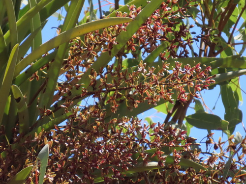
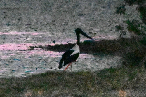
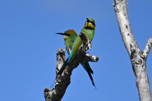
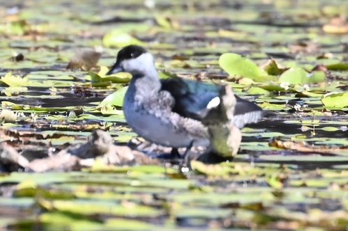
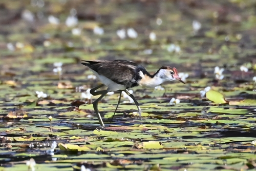
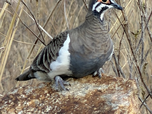
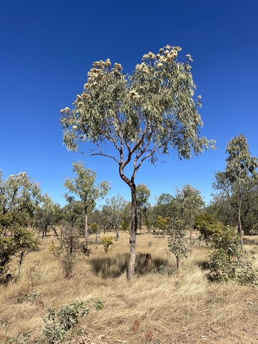
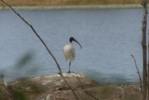
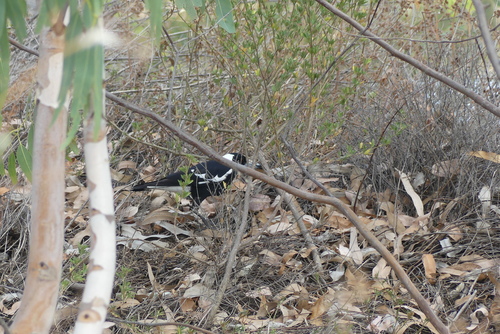
Research-grade observations from iNaturalist (within ~15 mi).
Events
Gallery
Official Identifiers
ABS — Australian Bureau of Statistics
- ASGS 2021
- SAL31073
- Population (Wikidata)
- 107
- Wikidata
- Q2687067
ASGS 2021 ID via Wikidata P10112
Sources
- • Wikipedia
- • Wikidata
- • USGS Earthquake Catalog (global feed)
- • GBIF (Global Biodiversity Information Facility)
- • iNaturalist
- • Open-Meteo / sunrise-sunset.org
- • Wikipedia Pageviews API
- • ABS — Australian Bureau of Statistics — ASGS 2021 ID via Wikidata P10112