Browse / Australia / Victoria / Geelong
Geelong
Victoriacity

Geelong
Total population
180,239
Founded
1838
Air quality index
Demographic figures from Australian Bureau of Statistics. Overview below cites Wikipedia and may reference a different year.
City facts
Sister cities
Facts from Wikidata (CC0).
Overview
Geelong is a port city in Victoria, Australia, located at the eastern end of Corio Bay and the left bank of Barwon River, about 75 km (47 mi) southwest of Melbourne. With an estimated population of 282,809 in 2023, Geelong is the second-largest city in the state of Victoria. It is the administrative centre for the City of Greater Geelong municipality, which is Port Phillip's only regional metropolitan area, and covers all the urban, rural and coastal reserves around the city including the entire Bellarine Peninsula and from the plains of Lara in the north to the rolling hills of Waurn Ponds to the south, with Corio Bay to the east and the Barrabool Hills to the west.
Read more on WikipediaHistory & geography
History
The name Geelong comes from Djilang, used by the Wadawurrung traditional owners of the area at the time of settlement. The area of Geelong and the Bellarine Peninsula are the traditional lands of the Wadawurrung (Wathaurong) Indigenous Australian tribe. The first non-Indigenous person recorded as visiting the region was Lieutenant John Murray, who commanded the brig . Led by John Bowen, they explored the immediate area, returning to Lady Nelson on 4 February. On reporting favourable findings, Lady Nelson entered Port Phillip on 14 February, and did not leave until 12 March. During this time, Murray explored the Geelong area and, whilst on the far side of the bay, claimed the entire area for Britain. He named the bay Port King, after Philip Gidley King, Arriving not long after Murray was Matthew Flinders, who entered Port Phillip on 27 April 1802. In October of the same year, led by Lieutenant Colonel David Collins arrived in the bay to establish the Sullivan Bay penal colony. The party spent 22 to 27 October on the north shore of Corio Bay, where the first Aboriginal death at the hands of a European in Victoria occurred. and it was at this time they reported that the Aboriginals called the area Corayo, the bay being called Djillong. In 1835, John Batman used Indented Head as his base camp, leaving behind several employees whilst he returned to Tasmania (then known as Van Diemen's Land) for more supplies and his family. In this same year, Buckley surrendered to the party led by John Helder Wedge and was later pardoned by Lieutenant-Governor Sir George Arthur, and subsequently given the position of interpreter to the natives. In March 1836, three squatters, David Fisher, James Strachan, and George Russell, arrived on Caledonia and settled the area. Fyans arranged the…
Geography
Geelong is located on the shores of the western tip of Corio Bay, a southwestern inlet of Port Phillip Bay. During clear weather, the distant Melbourne skyline is visible from higher areas of Geelong when viewed across the waters of Port Phillip. The Barwon River flows through the southern fringe of the Geelong city centre before entering Lake Connewarre and the estuary at Barwon Heads before draining into the Bass Strait. The city is situated just east of the gap between the Otway Ranges and Brisbane Ranges, and commands the only lowland passage between the Werribee Plain and Western Volcanic Plains. Geologically, the oldest rocks in the area date back to the Cambrian period 500 million years ago, with volcanic activities occurring in the Devonian period 350 million years ago. In prehistoric times water covered much of the lowlands that are now Geelong, with the Barwon River estuary located at Belmont Common, the course of the river being changed when Mount Moriac erupted and lava was sent eastwards towards Geelong. suitable for intensive farming, grazing, forestry, and viticulture. Many materials used to construct buildings were quarried from Geelong, such as bluestone from the You Yangs and sandstone from the Brisbane Ranges. Limestone has also been quarried for cement production at Fyansford since 1888, Geelong has over 60 suburbs, including the following: Anakie, Armstrong Creek, Avalon, Balliang, Barwon Heads, Batesford, Bell Park, Bell Post Hill, Bellarine, Belmont, Breakwater, Breamlea, Ceres, Charlemont, City of Greater Geelong, Clifton Springs, Connewarre, Corio, Curlewis, Drumcondra, Drysdale, East Geelong, Fyansford, Geelong West, Grovedale, Hamlyn Heights, Herne Hill, Highton, Indented Head, Lara, Leopold, Little…
Excerpted from the corresponding Wikipedia article (CC BY-SA).
Geography
Coordinates & boundaries from the US Census TIGER/Line shapefiles.
Climate
Air quality
Current readings from Open-Meteo Air Quality API (Copernicus CAMS European reanalysis).
Walkability
Amenities nearby
Wildlife & biodiversity
Most-observed species
- Australian MagpieGymnorhina tibicen (Latham, 1802) · Aves23,093
- Little RavenCorvus mellori Mathews, 1912 · Aves19,098
- Red WattlebirdAnthochaera carunculata (Shaw, 1790) · Aves18,466
- Magpie-larkGrallina cyanoleuca (Latham, 1802) · Aves17,754
- Superb FairywrenMalurus cyaneus (Ellis, 1782) · Aves16,613
- Welcome SwallowHirundo neoxena Gould, 1842 · Aves15,882
- Masked LapwingVanellus miles (Boddaert, 1783) · Aves13,652
- Rainbow LorikeetTrichoglossus haematodus (Linnaeus, 1771) · Aves13,593
Citizen-science & research observations from the Global Biodiversity Information Facility (GBIF).
Earthquake history
Most recent
- M 3.5 — 2023-10-2110 km NW of Apollo Bay, Australia
- M 4.8 — 2023-10-2116 km WNW of Apollo Bay, Australia
- M 3.8 — 2023-05-285 km W of Mickleham, Australia
- M 2.9 — 2021-11-054 km S of Rosebud, Australia
- M 2.8 — 2015-03-103 km NNE of Pakenham, Australia
- M 3.6 — 2014-12-034 km SW of Pakenham, Australia
Events from the USGS Earthquake Catalog (global) (FDSN Event Web Service).
Photos
Sights & places nearby
Notable people from here


People born within ~10 km, from Wikidata (CC0). Click any name for their Wikipedia article.
Nearby places in Victoria
- Batesford5.8 mi away · pop. 1,139
- Freshwater Creek8.7 mi away · pop. 557
- Modewarre15.2 mi away
- Inverleigh16.8 mi away · pop. 773
- Maude17.1 mi away
- Steiglitz21.3 mi away
- Meredith26.2 mi away · pop. 412
- Deans Marsh30.9 mi away · pop. 138
- Birregurra33.8 mi away · pop. 628
- Lorne34.2 mi away · pop. 1,248
- Arthurs Seat35.2 mi away · pop. 414
- Myrniong36.6 mi away · pop. 220
Geography & sun
Elevation, sunrise/sunset and daylight from Open-Meteo. Solar climatology from NASA POWER.
Nearby airports
Public attention
Pageview totals from the Wikimedia Pageviews API.
Books about Geelong
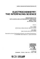
Search results from Open Library.
Recent natural events nearby
Ground air-quality sensors
Recently spotted species
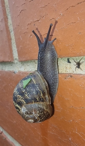
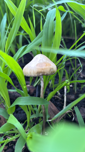
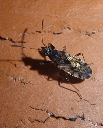
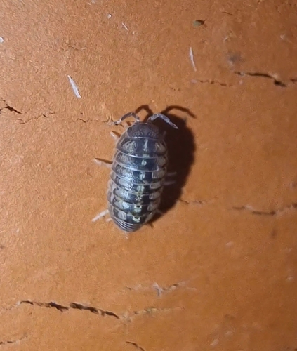
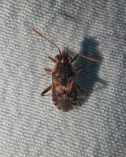
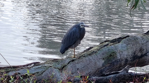
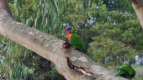
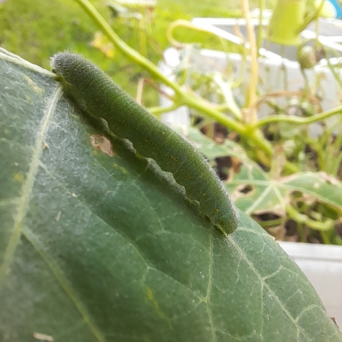
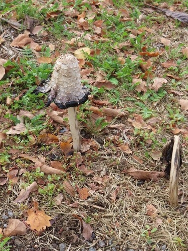
Research-grade observations from iNaturalist (within ~15 mi).
Events
Gallery
Geotagged photos within ~6 miles of Geelong, from Wikimedia Commons contributors.
 0 mi
0 mi 0 mi
0 mi.jpg) 0 mi
0 mi 0 mi
0 mi 0 mi
0 mi.jpg) 0 mi
0 mi 0.1 mi
.jpg) 0.1 mi
0.1 mi.jpg) 0.1 mi
0.1 mi.jpg) 0.1 mi
0.1 mi.jpg) 0.1 mi
0.1 mi.jpg) 0.1 mi
0.1 mi.jpg) 0.1 mi
0.1 mi.jpg) 0.1 mi
0.1 mi.jpg) 0.1 mi
0.1 mi.jpg) 0.1 mi
0.1 mi.jpg) 0.1 mi
0.1 mi.jpg) 0.1 mi
0.1 mi.jpg) 0.1 mi
0.1 mi.jpg) 0.1 mi
0.1 mi.jpg) 0.1 mi
0.1 mi.jpg) 0.1 mi
0.1 mi.jpg) 0.1 mi
0.1 mi.jpg) 0.1 mi
0.1 miPhotos via Wikimedia Commons — see each image page for license & attribution.
Sources
- • Wikipedia
- • Wikimedia Commons
- • Wikidata
- • Open-Meteo Air Quality (CAMS)
- • USGS Earthquake Catalog (global feed)
- • GBIF (Global Biodiversity Information Facility)
- • iNaturalist
- • Open-Meteo / sunrise-sunset.org
- • Wikipedia Pageviews API
- • Open Library