Browse / Australia / New South Wales / Girilambone
Girilambone
New South Waleshamlet

Girilambone
Total population
107
Air quality index
Demographic figures from Australian Bureau of Statistics. Overview below cites Wikipedia and may reference a different year.
City facts
Overview
Girilambone is a small village in western New South Wales, Australia. It is located north of Nyngan and 610 km north-west of Sydney. The name is also applied to the surrounding area, for postal and statistical purposes. At the 2016 census, the population of the village and its surrounding area was only 107, but it had fallen to just 86 in 2021. The village was originally associated with copper mining.
Read more on WikipediaHistory & geography
History
The area of land now known as Girilambone lies within the traditional lands of the Wangaaypuwan dialect speakers (also known as Wangaibon) of the Ngiyampaa people. The name Girilambone is an anglicised word, derived from the local language, for 'place of many stars' or 'place of falling stars'. The name is associated with a dreamtime story of the local people. In 1907, there were no Aboriginal people recorded as living at Girilambone. At the 2021 census, some people living in Girilambone were recorded as having Aboriginal ancestry. In early 1880, mining had commenced on a small scale at the Girilambone Copper Mine—3 km west of Girilambone Giriambone was initially founded as a privately owned mining town. In late 1880, a 100-acre block, east of the copper mine and adjacent to the planned railway line, was surveyed and the plan of a private subdivision of it was made. This land is on the western side of the railway line, and two of its streets are the modern-day Sydney Road—then 'Great Northern Road'—and Railway Road. Girilambone originally developed on this land, which was also the site of the first school, which opened in 1882. Other streets of the private town were, Girilambone, Louisa, Oxide, Carbonate, Malachite and Suphate Streets, Australia Parade, and the incongruously-named Rue d'Enfer (named after a former street of Paris). Thomas Hartman became a hotel keeper, at Girilambone. He lived there for many years, but subsequently moved to Sydney, where he died seven months later, in June 1904. For some decades, there were two Girilambone settlements; the original privately owned mining town—thereafter called Girilambone Mine—and the newer government village of Girilambone vied with each other for dominance. The focus of the settlement gradually…
Excerpted from the corresponding Wikipedia article (CC BY-SA).
Geography
Coordinates & boundaries from the US Census TIGER/Line shapefiles.
Climate
Air quality
Current readings from Open-Meteo Air Quality API (Copernicus CAMS European reanalysis).
Walkability
Amenities nearby
Wildlife & biodiversity
Most-observed species
- Psilocybe subaeruginosa ClelandPsilocybe subaeruginosa Cleland · Agaricomycetes43
- GalahEolophus roseicapilla (Vieillot, 1817) · Aves24
- Willie-wagtailRhipidura leucophrys (Latham, 1802) · Aves24
- Bribie Island-pineCallitris columellaris F.Muell. · Pinopsida23
- White-browed WoodswallowArtamus superciliosus (Gould, 1837) · Aves23
- Rufous WhistlerPachycephala rufiventris (Latham, 1802) · Aves23
- Spiny-cheeked HoneyeaterAcanthagenys rufogularis Gould, 1838 · Aves22
- rough speargrassAustrostipa scabra (Lindl.) S.W.L.Jacobs & J.Everett · Liliopsida22
Citizen-science & research observations from the Global Biodiversity Information Facility (GBIF).
Earthquake history
Most recent
- M 4.8 — 2025-05-2386 km NNE of Nyngan, Australia
Events from the USGS Earthquake Catalog (global) (FDSN Event Web Service).
Photos
Sights & places nearby
Notable people from here
Geography & sun
Elevation, sunrise/sunset and daylight from Open-Meteo. Solar climatology from NASA POWER.
Nearby airports
Public attention
Pageview totals from the Wikimedia Pageviews API.
Books about this place
Recent natural events nearby
Ground air-quality sensors
Recently spotted species
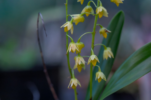
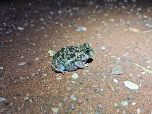
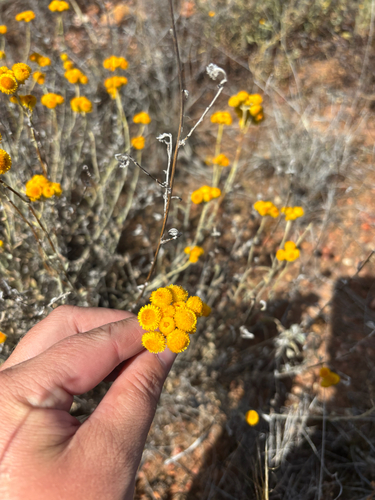
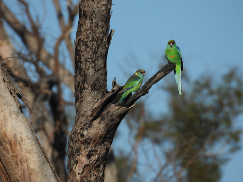
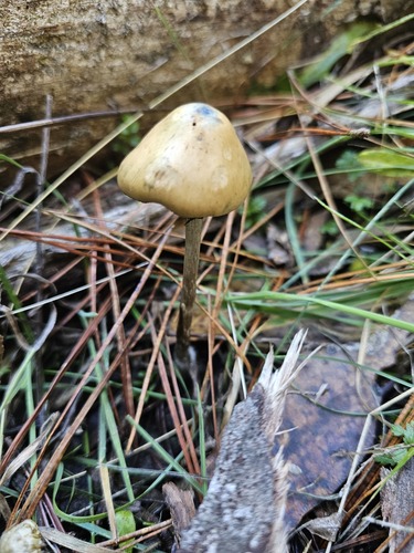
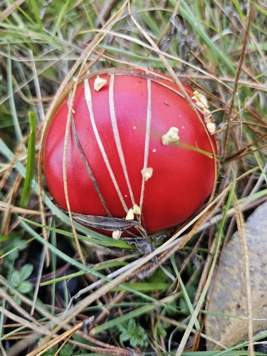
Research-grade observations from iNaturalist (within ~15 mi).
Events
Gallery
Official Identifiers
ABS — Australian Bureau of Statistics
- ASGS 2021
- SAL11636
- Population (Wikidata)
- 86
- Wikidata
- Q5564276
ASGS 2021 ID via Wikidata P10112
Sources
- • Wikipedia
- • Wikidata
- • Open-Meteo Air Quality (CAMS)
- • USGS Earthquake Catalog (global feed)
- • GBIF (Global Biodiversity Information Facility)
- • iNaturalist
- • Open-Meteo / sunrise-sunset.org
- • Wikipedia Pageviews API
- • ABS — Australian Bureau of Statistics — ASGS 2021 ID via Wikidata P10112