Browse / Australia / Queensland / Giru
Giru
Queenslandtown

Giru
Total population
272
Demographic figures from Australian Bureau of Statistics. Overview below cites Wikipedia and may reference a different year.
City facts
Overview
Giru is a rural town and coastal locality in the Shire of Burdekin, Queensland, Australia, situated on the Haughton River, 54 kilometres (34 mi) south-east of Townsville. In the 2021 census, the locality of Giru had a population of 387 people.
Read more on WikipediaHistory & geography
History
The name of the town and the locality derives from the railway station name, assigned on 31 March 1916, derived from "goru", a type name for a species of sugarcane from New Guinea which was successfully experimented with and widely grown in the district. The Invicta Sugar Mill was originally located on the Richmond River in New South Wales. In 1906, it was relocated to Bucca near the Kolan River near Bundaberg. In 1919, it was moved north to the Haughton River in the Burdekin district, where the township of Giru grew around it. It commenced crushing there under the same name on 4 August 1921. On Saturday 1 May 1926, the School of Arts Hall was officially opened with a dance. The Giru Post Office opened by 1922. Giru State School opened on 1 October 1924. The school celebrated its golden jubilee (50th anniversary) in 1974. St Joseph's School opened in 1945 and closed in 1998. The Palm Creek Folk Festival was an annual event held in Giru on the Queen's Birthday public holiday, and spanned four days. It commonly featured known and up-and-coming bands from several music genres, ranging from folk to alternative.
Geography
Giru is mainly sugarcane farms. The Invicta sugar mill in Giru is owned by Wilmar Sugar Cane Limited with three iconic chimney stacks. The Bruce Highway bypasses the town.
Excerpted from the corresponding Wikipedia article (CC BY-SA).
Geography
Coordinates & boundaries from the US Census TIGER/Line shapefiles.
Climate
Air quality
Walkability
Amenities nearby
Wildlife & biodiversity
Most-observed species
- Peaceful DoveGeopelia placida Gould, 1844 · Aves506
- Masked LapwingVanellus miles (Boddaert, 1783) · Aves470
- Whistling KiteHaliastur sphenurus (Vieillot, 1818) · Aves428
- Black KiteMilvus migrans (Boddaert, 1783) · Aves414
- Willie-wagtailRhipidura leucophrys (Latham, 1802) · Aves370
- Great EgretArdea alba Linnaeus, 1758 · Aves365
- Bar-shouldered DoveGeopelia humeralis (Temminck, 1821) · Aves343
- Magpie-larkGrallina cyanoleuca (Latham, 1802) · Aves310
Citizen-science & research observations from the Global Biodiversity Information Facility (GBIF).
Earthquake history
Most recent
- M 4.1 — 2025-03-010 km SE of Kelso, Australia
- M 4.3 — 2011-09-1744 km NNW of Collinsville, Australia
- M 4 — 2011-04-1645 km NNW of Collinsville, Australia
- M 5 — 2011-04-16Queensland, Australia
Events from the USGS Earthquake Catalog (global) (FDSN Event Web Service).
Photos
Sights & places nearby
Notable people from here
People born within ~10 km, from Wikidata (CC0). Click any name for their Wikipedia article.
Nearby places in Queensland
Geography & sun
Elevation, sunrise/sunset and daylight from Open-Meteo. Solar climatology from NASA POWER.
Nearby airports
Public attention
Books about this place
Recent natural events nearby
Ground air-quality sensors
Recently spotted species
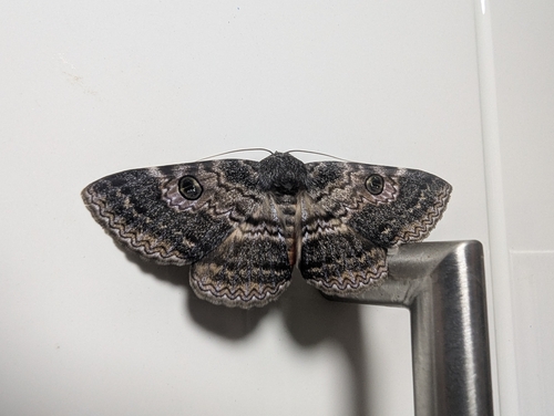
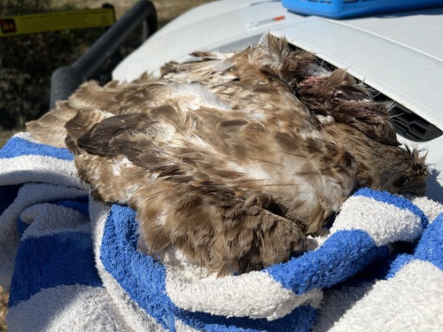
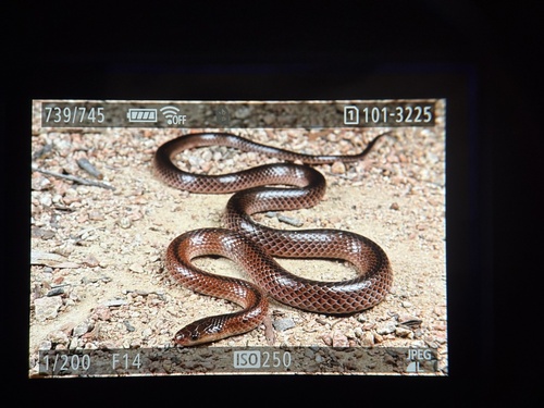
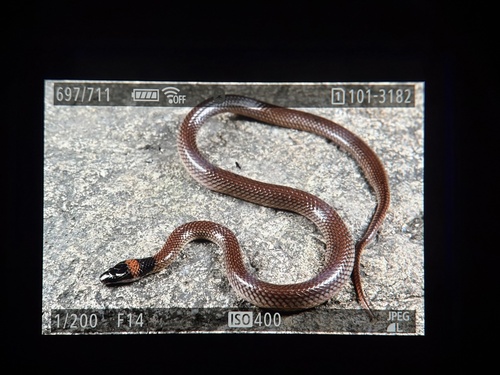
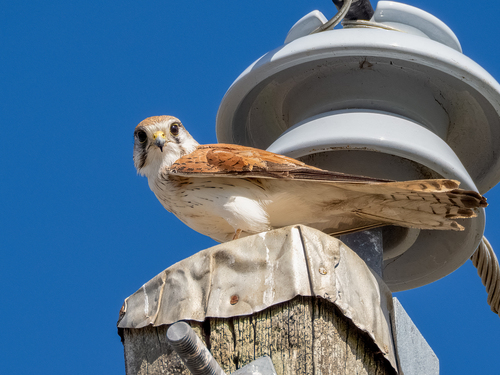
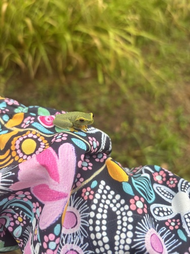
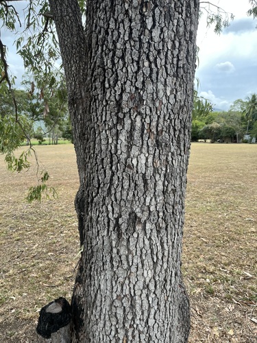
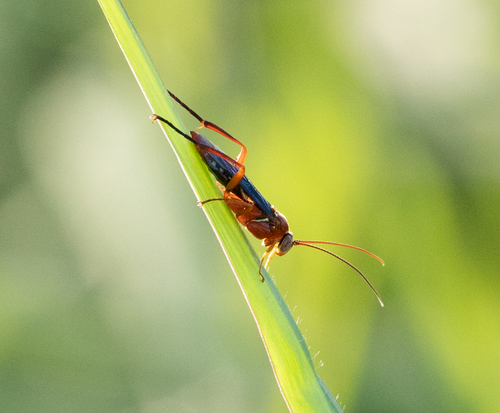
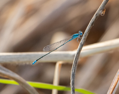
Research-grade observations from iNaturalist (within ~15 mi).
Events
Gallery
Geotagged photos within ~6 miles of Giru, from Wikimedia Commons contributors.

.jpg)
.jpg)

Photos via Wikimedia Commons — see each image page for license & attribution.
Sources
- • Wikipedia
- • Wikimedia Commons
- • Wikidata
- • USGS Earthquake Catalog (global feed)
- • GBIF (Global Biodiversity Information Facility)
- • iNaturalist
- • Open-Meteo / sunrise-sunset.org