Browse / Australia / New South Wales / Gosford
Gosford
New South Walescity

Gosford
Total population
325,255
Founded
1823
Air quality index
Demographic figures from Australian Bureau of Statistics. Overview below cites Wikipedia and may reference a different year.
City facts
Sister cities
Facts from Wikidata (CC0).
Overview
Gosford is a waterfront city at the northern end of Brisbane Water on the Central Coast in the state of New South Wales, Australia. The Gosford Waterfront is known for its boating and scenic views on the shores of Brisbane Water. Gosford is the main commercial hub and gateway of the Central Coast. It is situated approximately 77 km (48 mi) north of Sydney and 86 km (53 mi) south of Newcastle. Gosford is located in the local government area of the Central Coast Council.
Read more on WikipediaHistory & geography
History
Until white settlement, the area around Gosford was inhabited by the Guringai peoples, who were principally coastal-dwellers, and the Darkinjung people that inhabited the hinterland. Along with the other land around the Hawkesbury River estuary, the Brisbane Water district was explored during the early stages of the settlement of New South Wales. Gosford itself was explored by State Governor Arthur Phillip between 1788 and 1789. The area was difficult to access, and settlement began around 1823. By the late 19th century, the agriculture in the region was diversifying, with market gardens and citrus orchards occupying the rich soil left after the timber harvest. As late as 1850, the road between Hawkesbury (near Pittwater) and Brisbane Water was a cart wheel track. East Gosford was the first centre of settlement. Gosford was named in 1839 after Archibald Acheson, 2nd Earl of Gosford – a friend of the then Governor of New South Wales George Gipps. Acheson's title derives its name from Gosford, a townland (sub-division) of Markethill in County Armagh in Northern Ireland. In 1887, the Main Northern railway line to Sydney was completed, requiring a bridge over the Hawkesbury River and a tunnel through the sandstone ridge west of Woy Woy. The introduction of this transport link and then the Pacific Highway in 1930 accelerated the development of the region. Gosford became a town in 1885 and was declared a municipality in 1886. It was then declared a Shire in 1947, and a City on 1 January 1980.
Geography
Gosford has a humid subtropical climate (Köppen climate classification: Cfa) with warm summers and mild winters. In summer, temperatures average about 27–28 °C in the day with high humidity and about 17–18 °C at night. Winters are mild with cool overnight temperatures and mild to occasionally warm daytime temperatures with lower humidity. Records range from a maximum of on 18 January 2013, to a low of on 16 July 1970. Average rainfall is 1314.3 mm, much of which falls in the late summer and autumn. Rainfall is less common in late winter and early spring because of the foehn effect, as the city is located on the leeward side of the Great Dividing Range. The reason for the relatively high amount of annual rainfall compared to other places in the vicinity is the shape and orientation of the coastline, which makes Gosford (and the Central Coast region in general) slightly more prone to rain from southerly winds. Gosford proper is located in a valley with President's Hill on the city's western border, Rumbalara Reserve on its eastern border, and Brisbane Water to the city's south. Mann Street, Gosford's main street and part of the Pacific Highway, runs north–south and contains the frontage for much of the commercial district. In the centre of Gosford is a shopping and community precinct, including Kibble Park, William Street Mall, Gosford City Library, the Imperial Shopping Centre and a full range of shops, cafes, banks and services. A renewed period of optimism has followed the demolition of several derelict buildings and several infrastructure investment projects including the full fibre optic telecommunications rollout of the National Broadband Network in 2012 in the city's CBD as well as the so-called Kibbleplex project, announced in 2013 that plans…
Excerpted from the corresponding Wikipedia article (CC BY-SA).
Geography
Coordinates & boundaries from the US Census TIGER/Line shapefiles.
Climate
Air quality
Current readings from Open-Meteo Air Quality API (Copernicus CAMS European reanalysis).
Walkability
Amenities nearby
Wildlife & biodiversity
Most-observed species
- Rainbow LorikeetTrichoglossus haematodus (Linnaeus, 1771) · Aves11,189
- Australian MagpieGymnorhina tibicen (Latham, 1802) · Aves8,650
- Noisy MinerManorina melanocephala (Latham, 1801) · Aves8,070
- Laughing KookaburraDacelo novaeguineae (Hermann, 1783) · Aves7,115
- Masked LapwingVanellus miles (Boddaert, 1783) · Aves6,828
- Welcome SwallowHirundo neoxena Gould, 1842 · Aves6,204
- Superb FairywrenMalurus cyaneus (Ellis, 1782) · Aves5,369
- Australian RavenCorvus coronoides Vigors & Horsfield, 1827 · Aves5,325
Citizen-science & research observations from the Global Biodiversity Information Facility (GBIF).
Earthquake history
Most recent
- M 3.6 — 2025-05-283 km WNW of Cobbitty, Australia
- M 5.1 — 2025-04-2218 km SW of Singleton, Australia
- M 3.5 — 2024-03-0814 km SSW of Woodford, Australia
- M 3.2 — 2012-09-1033 km ESE of Blue Bay, Australia
- M 3.1 — 2007-04-113 km SE of Stanwell Park, Australia
Events from the USGS Earthquake Catalog (global) (FDSN Event Web Service).
Photos
Sights & places nearby
Notable people from here


People born within ~10 km, from Wikidata (CC0). Click any name for their Wikipedia article.
Nearby places in New South Wales
Geography & sun
Elevation, sunrise/sunset and daylight from Open-Meteo. Solar climatology from NASA POWER.
Nearby airports
Public attention
Pageview totals from the Wikimedia Pageviews API.
Books about Gosford
Search results from Open Library.
Recent natural events nearby
Ground air-quality sensors
Recently spotted species
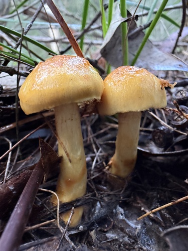
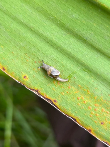
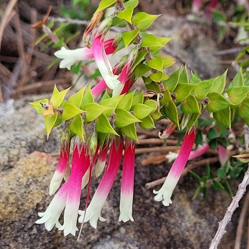
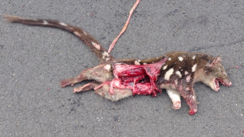
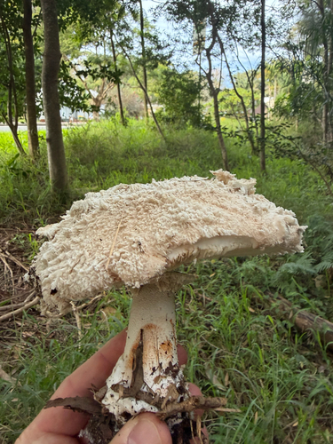
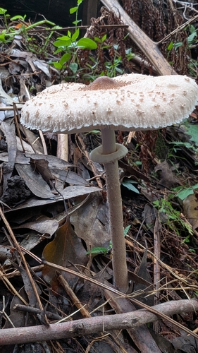
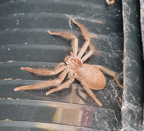
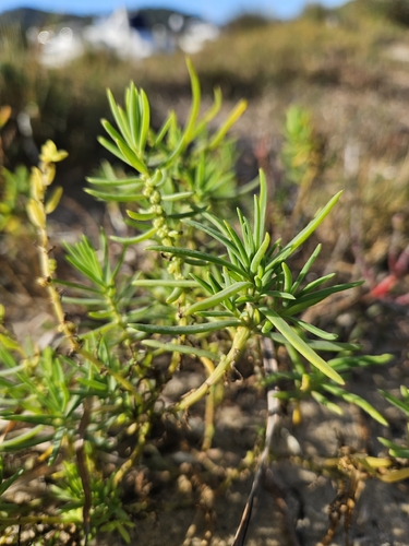
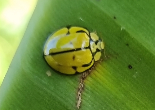
Research-grade observations from iNaturalist (within ~15 mi).
Events
Gallery
Geotagged photos within ~6 miles of Gosford, from Wikimedia Commons contributors.
.jpg) 0 mi
0 mi 0 mi
0 mi 0 mi
0 mi 0 mi
0 mi.jpg) 0 mi
0 mi.jpg) 0.1 mi
0.1 mi.jpg) 0.1 mi
0.1 mi.jpg) 0.1 mi
0.1 mi 0.1 mi
 0.1 mi
 0.1 mi
 0.1 mi
 0.1 mi
 0.1 mi
 0.1 mi
 0.1 mi
.jpg) 0.1 mi
0.1 mi 0.2 mi
 0.2 mi
 0.2 mi
 0.2 mi
.jpg) 0.2 mi
0.2 mi.jpg) 0.2 mi
0.2 mi 0.2 mi
Photos via Wikimedia Commons — see each image page for license & attribution.
Sources
- • Wikipedia
- • Wikimedia Commons
- • Wikidata
- • Open-Meteo Air Quality (CAMS)
- • USGS Earthquake Catalog (global feed)
- • GBIF (Global Biodiversity Information Facility)
- • iNaturalist
- • Open-Elevation
- • Open-Meteo / sunrise-sunset.org
- • Wikipedia Pageviews API
- • Open Library