Browse / Australia / Tasmania / Grove
Grove
Tasmaniavillage
Demographic figures from Australian Bureau of Statistics. Overview below cites Wikipedia and may reference a different year.
City facts
Overview
Grove is a rural locality in the local government area (LGA) of Huon Valley in the South-east region of Tasmania, Australia. The locality is 35 km southwest of Hobart and 7 km north-east of the town of Huonville. As a rural locality, there are no urban settlements in Grove. The 2016 census does not provide a population for the locality of Grove. It covers an area of approximately 30.8 km2. The postcode for Grove is 7109.
Read more on WikipediaHistory & geography
History
The first non-Aboriginal occupation of Grove was the farm property Grove Estate, by Silas Parsons in 1839. Grove was gazetted as a locality in 1970.
Geography
Mountain River, a tributary of the Huon River, flows from north-east to south-west through the northern part of Grove, and then forms much of its western boundary. Most of the part of Grove southeast of the Huon Highway (12.7 km2) is hilly and remains forested, whereas most of the part northwest of the Huon Highway (18.1 km2) is undulating and cleared for agriculture - chiefly grazing and orchards. Huonville is the nearest service centre for Grove, which contains few facilities or services. Grove experiences an oceanic climate (Köppen: Cfb) with very mild, drier summers and relatively cool, wetter winters. On average, the town only has 32.7 clear days whilst having 133.5 cloudy days per annum. The wettest recorded day was 23 April 1960 with of rainfall. Extreme temperatures ranged from on 4 January 2013 to on 24 June 1972. A former weather station recorded climate data from 1952 to 2010. This included temperature, precipitation, 3 pm conditions and sunshine. A newer weather station opened in 2004. It records climate data for temperature and precipitation.
Excerpted from the corresponding Wikipedia article (CC BY-SA).
Geography
Coordinates & boundaries from the US Census TIGER/Line shapefiles.
Climate
Air quality
Walkability
Amenities nearby
Wildlife & biodiversity
Earthquake history
Photos
Sights & places nearby
Notable people from here
Nearby places in Tasmania
Geography & sun
Elevation, sunrise/sunset and daylight from Open-Meteo. Solar climatology from NASA POWER.
Nearby airports
Public attention
Pageview totals from the Wikimedia Pageviews API.
Books about Grove




Search results from Open Library.
Recent natural events nearby
Ground air-quality sensors
Recently spotted species
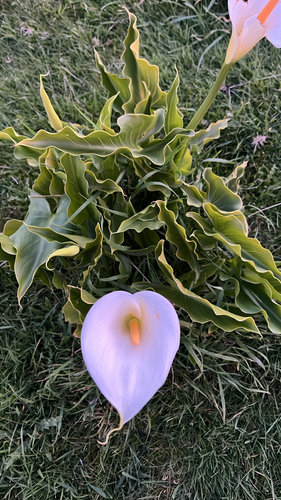
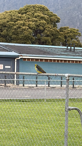
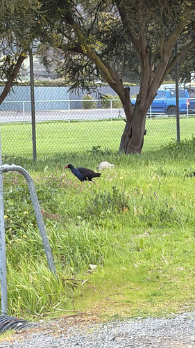
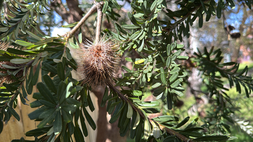
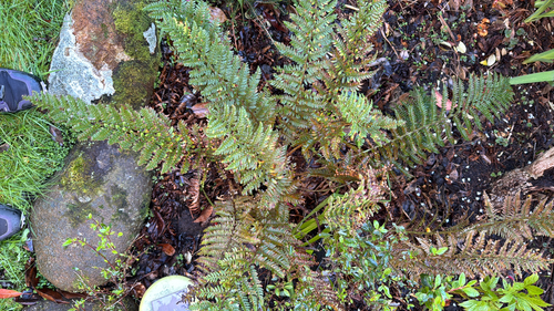
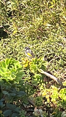
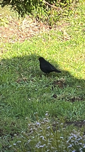
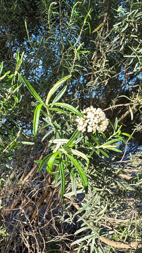
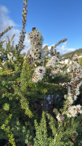
Research-grade observations from iNaturalist (within ~15 mi).
Events
Gallery
Official Identifiers
ABS — Australian Bureau of Statistics
- ASGS 2021
- SAL60254
- Population (Wikidata)
- 458
- Wikidata
- Q5611362
ASGS 2021 ID via Wikidata P10112
Sources
- • Wikipedia
- • iNaturalist
- • Open-Meteo / sunrise-sunset.org
- • Wikipedia Pageviews API
- • Open Library
- • ABS — Australian Bureau of Statistics — ASGS 2021 ID via Wikidata P10112