Browse / Australia / South Australia / Gumeracha
Gumeracha
South Australiatown

Gumeracha
Total population
721
Air quality index
Demographic figures from Australian Bureau of Statistics. Overview below cites Wikipedia and may reference a different year.
City facts
Facts from Wikidata (CC0).
Overview
Gumeracha is a town in the Adelaide Hills, South Australia, located on the Adelaide-Mannum Road. It is located in the Adelaide Hills Council local government area on the south bank of the upper River Torrens. The region relies heavily on grazing, dairying, grape growing, orchards, and market gardening. Its most prominent attraction is the Big Rocking Horse.
Read more on WikipediaHistory & geography
History
The original inhabitants of the area were the Peramangk people, and the name "Gumeracha" derives from an Aboriginal word meaning "fine waterhole". The area was one of the earliest settled by Europeans in South Australia. First to explore the district were Dr George Imlay and John Hill, on 24 January 1838. In 1839, the South Australia Company took up a parcel of land, on which the settlements of Gumeracha, Kenton Valley and Forreston developed. The company established a district headquarters and opened it up for sheep grazing. In 1841, The South Australian Company built a home, known as "Ludlow House", for the first manager of the station known as "Timnath", William Beavis Randell. The company also built a flour mill in the 1840s. The estate housed his large family, his workforce and their families. In 1846, Randell donated land and funds for a church, and the Salem Baptist Church was built – the oldest Baptist church still in use in South Australia. The surrounding area, meanwhile, had become an agricultural centre, and the Gumeracha Farmers' Society held annual shows. In 1853, the District Council of Talunga was established to administer the Hundred of Talunga, including in large part the early Adelaide Hills pioneering community that would become Gumeracha. In 1855, Randell allocated land for a township and by 1860 the town was laid out. Most of the buildings in use at that time still stand. William Beavis Randell's son, William Richard Randell, built the first Murray River paddlesteamer in Gumeracha in 1852. In 1935, the District Council of Gumeracha replaced Talunga Council to administer a broader area around the town, centred at Gumeracha, the main point of population in that part of the Adelaide Hills.
Geography
Gumeracha is located between Inglewood and Birdwood along the Adelaide-Mannum Road, and north of Lobethal along the Gumeracha-Lobethal Road. At the 2021 Australian census, Gumeracha had a population of 721 people.
Excerpted from the corresponding Wikipedia article (CC BY-SA).
Geography
Coordinates & boundaries from the US Census TIGER/Line shapefiles.
Climate
Air quality
Current readings from Open-Meteo Air Quality API (Copernicus CAMS European reanalysis).
Walkability
Amenities nearby
Wildlife & biodiversity
Most-observed species
- Australian MagpieGymnorhina tibicen (Latham, 1802) · Aves3,105
- Crimson RosellaPlatycercus elegans (Gmelin, 1788) · Aves2,848
- Rainbow LorikeetTrichoglossus haematodus (Linnaeus, 1771) · Aves2,523
- New Holland HoneyeaterPhylidonyris novaehollandiae (Latham, 1790) · Aves2,491
- Superb FairywrenMalurus cyaneus (Ellis, 1782) · Aves2,436
- Red WattlebirdAnthochaera carunculata (Shaw, 1790) · Aves2,162
- GalahEolophus roseicapilla (Vieillot, 1817) · Aves1,978
- Little RavenCorvus mellori Mathews, 1912 · Aves1,878
Citizen-science & research observations from the Global Biodiversity Information Facility (GBIF).
Earthquake history
Most recent
- M 3 — 2022-03-293 km ESE of Macclesfield, Australia
- M 4 — 2022-03-053 km SW of Mount Barker, Australia
- M 3.2 — 2018-08-0811 km WNW of Mannum, Australia
- M 3.9 — 2017-02-019 km NW of Murray Bridge, Australia
- M 3.3 — 2011-10-183 km ESE of Hawthorndene, Australia
- M 3.8 — 2010-04-162 km N of Macclesfield, Australia
Events from the USGS Earthquake Catalog (global) (FDSN Event Web Service).
Photos
Sights & places nearby
Notable people from here


People born within ~10 km, from Wikidata (CC0). Click any name for their Wikipedia article.
Nearby places in South Australia
- Forreston1.9 mi away · pop. 98
- Kersbrook3.4 mi away · pop. 417
- Cudlee Creek4 mi away · pop. 126
- Inglewood6.4 mi away
- Cherryville9.2 mi away
- Montacute9.7 mi away
- One Tree Hill9.9 mi away · pop. 543
- Basket Range10.6 mi away · pop. 100
- Ashton11.7 mi away
- Carey Gully11.8 mi away
- Uraidla12.3 mi away · pop. 931
- Springton14 mi away · pop. 398
Geography & sun
Elevation, sunrise/sunset and daylight from Open-Meteo. Solar climatology from NASA POWER.
Nearby airports
Public attention
Pageview totals from the Wikimedia Pageviews API.
Books about Gumeracha

Search results from Open Library.
Recent natural events nearby
Ground air-quality sensors
Recently spotted species
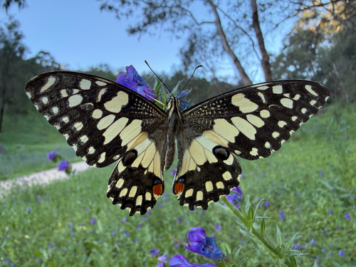
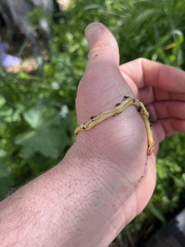
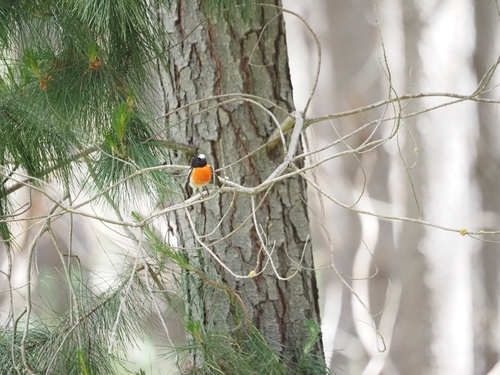
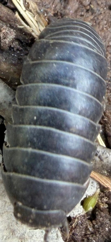
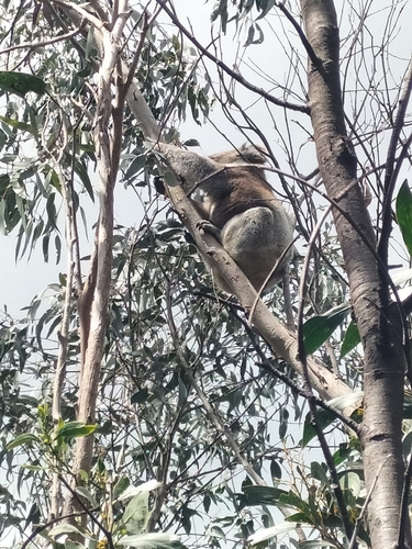
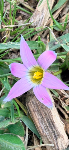
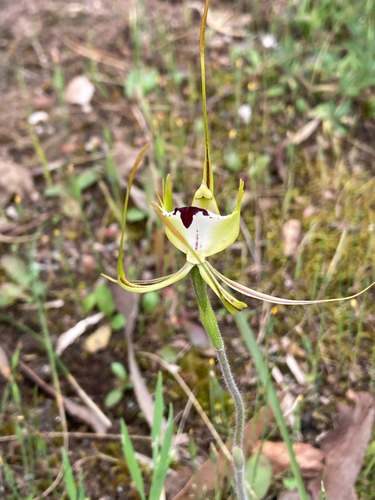
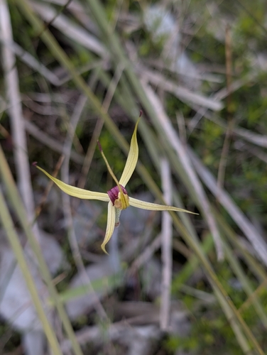
Research-grade observations from iNaturalist (within ~15 mi).
Events
Gallery
Sources
- • Wikipedia
- • Wikidata
- • Open-Meteo Air Quality (CAMS)
- • USGS Earthquake Catalog (global feed)
- • GBIF (Global Biodiversity Information Facility)
- • iNaturalist
- • Open-Meteo / sunrise-sunset.org
- • Wikipedia Pageviews API
- • Open Library